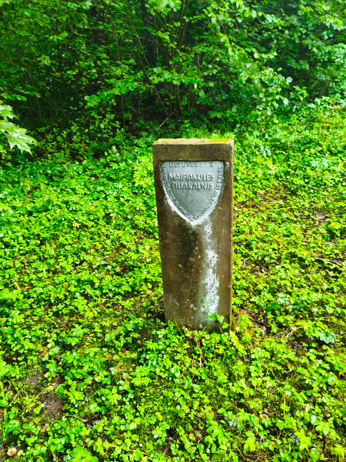

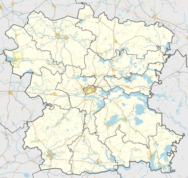
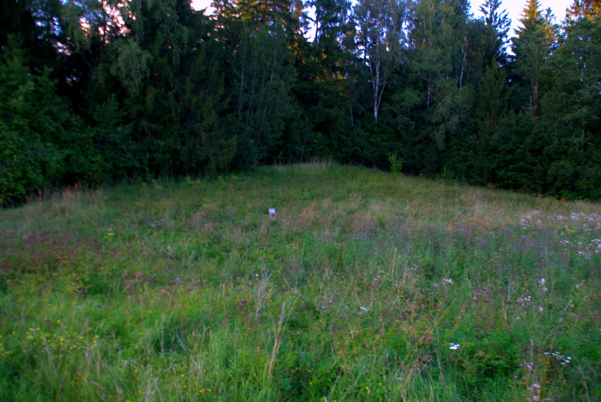
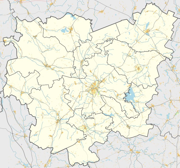
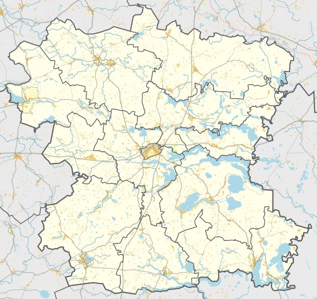
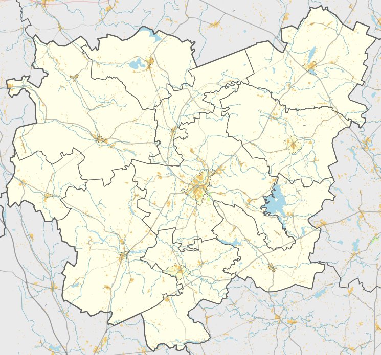
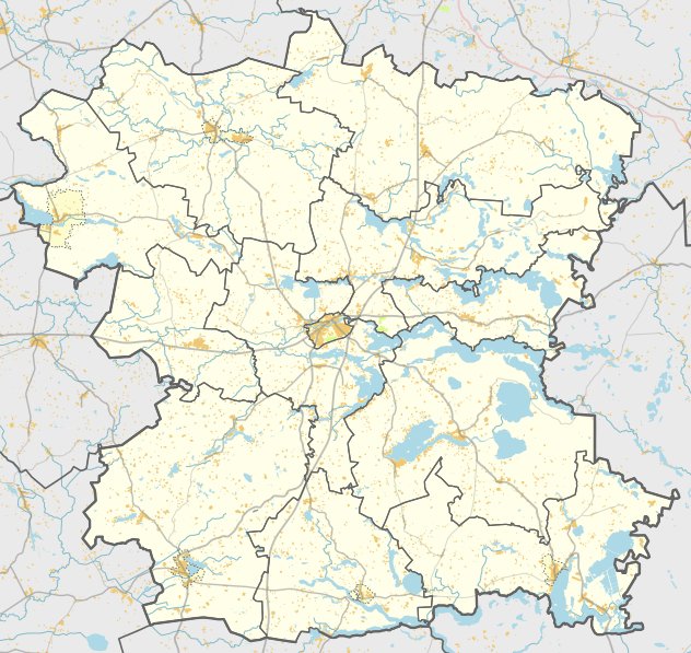
The Maišiakulės hillfort is located in the village of Maišiakulė within the Molėtas district. It is situated on a height on the left bank of the river, accessible from the Alanta - Pakalniai road. The site was designated as a cultural monument in 1998 and covers an area of 15,000 square meters.
The hillfort features a triangular plot oriented toward the southwest and northeast. The plot measures 15 meters in length and 30 meters in width along the southwestern edge. A 1-meter high embankment, 19 meters wide, encloses a 15-meter wide ditch that is 2.3 meters deep. Behind this ditch, a second embankment once existed but has been destroyed. The slopes of the site stand 24 meters high.
On the southern and southwestern slopes, there are terraces 4 meters wide, situated 2-2.5 meters below the plot. The hillfort is surrounded by a forest and is characterized by a southern slope that shows signs of erosion. Archaeological surveys of the site were conducted in 1970.
Sources: Wikipedia, OpenStreetMap, Wikidata, Wikimedia Commons
Written by Nicolo Ciampini
Discuss this with the author and others
No comments yet. Be the first to start the conversation.