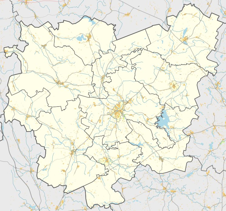

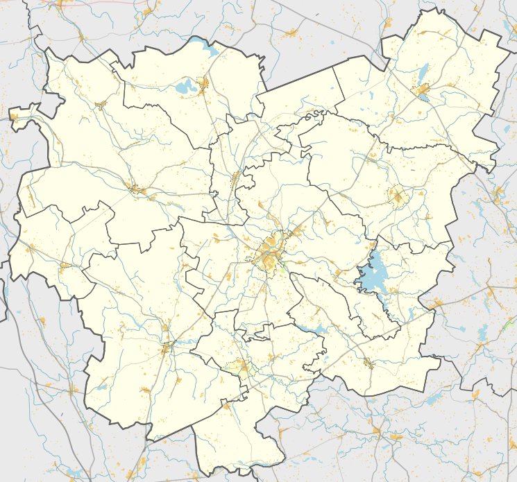
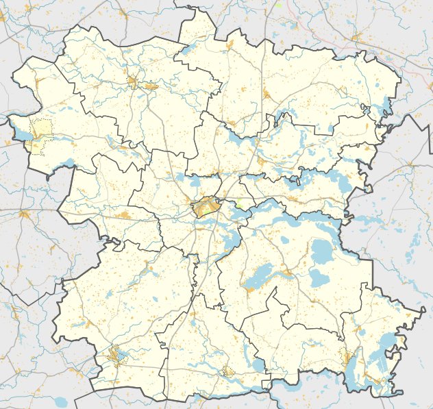
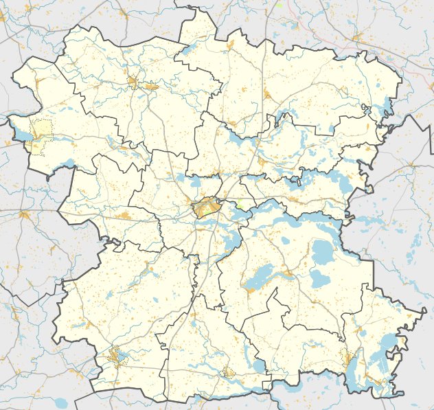
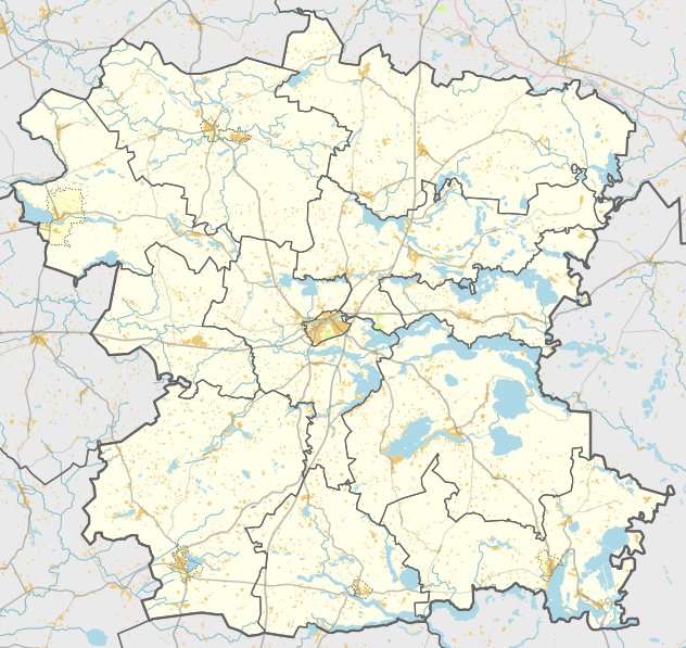
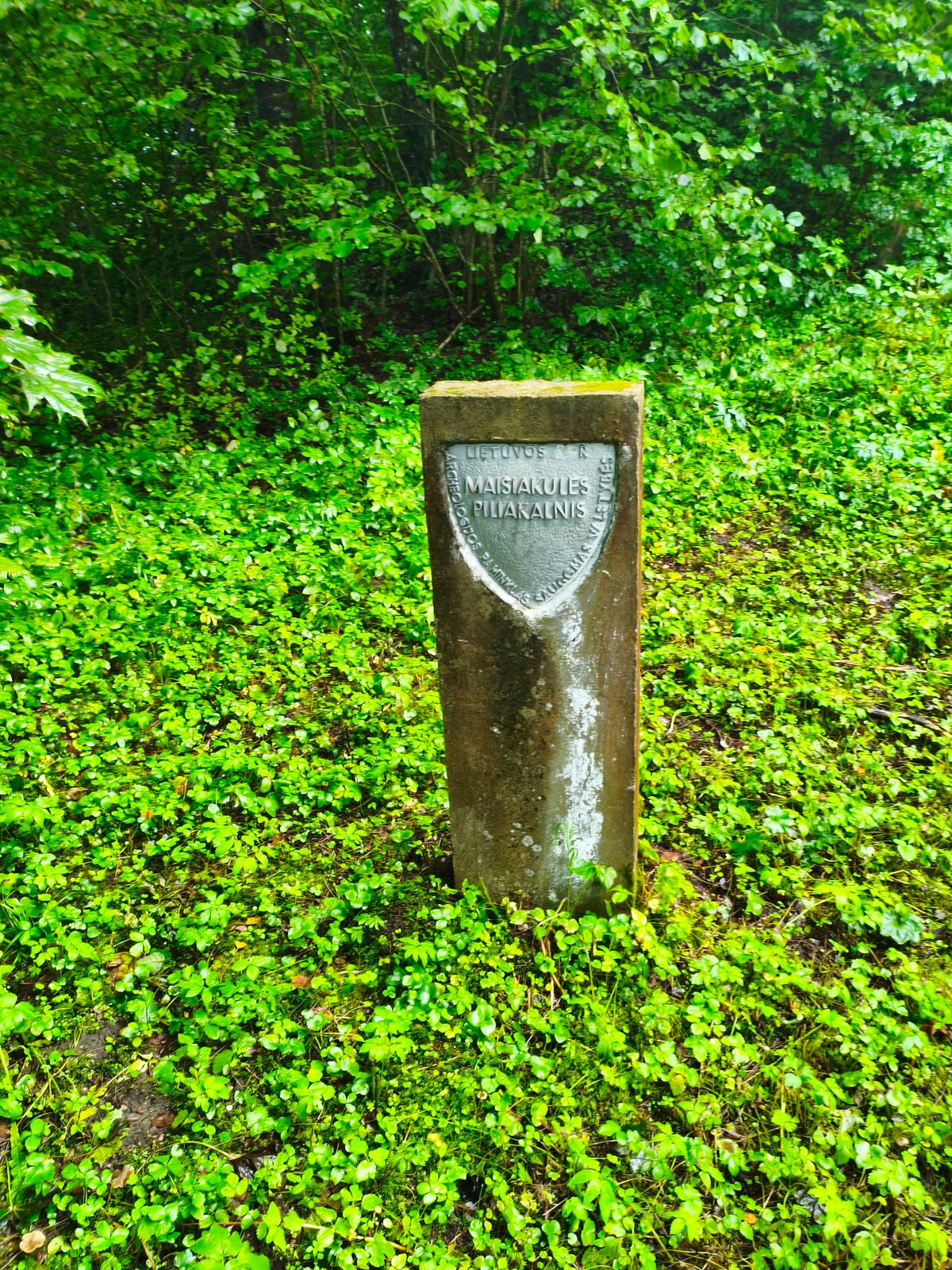
Melėnų piliakalnis, also known as Pilelė or Pilies Kalnas, is a hillfort and settlement located in the village of Melėnai, within the Skiemonių seniūnija of the Anykščių district. It is accessible from the Skiemonys - Želtiškiai road by traveling 1 km from Skiemonių church, turning right toward the north onto a field path past a farmstead, and proceeding 200 m to the right of the road.
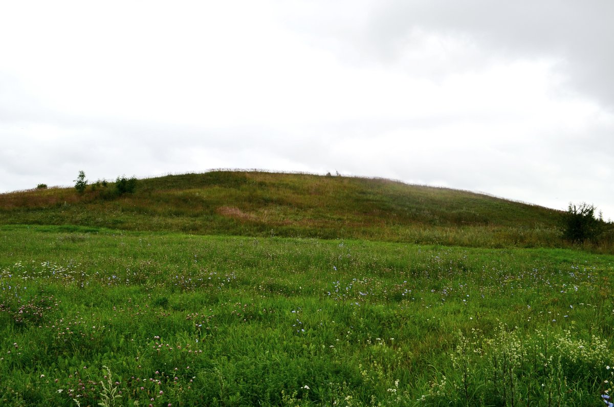
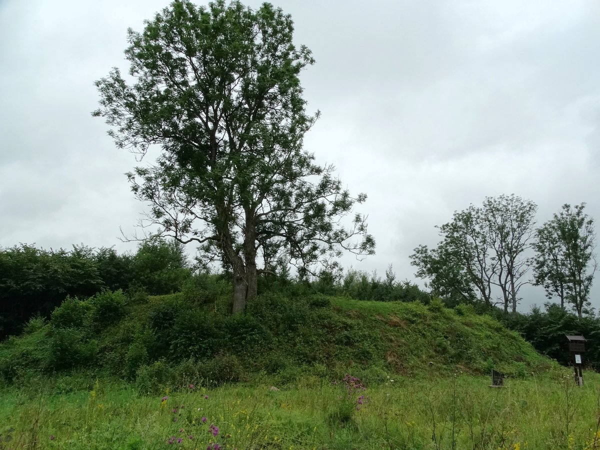
The site occupies a separate hillock in a meadow and features an oval, elongated enclosure measuring 25x17 meters, oriented toward the northwest - southeast. On the northern slope, there is a natural terrace 35 meters wide located 1.5 meters below the surface. On the southwest slope, another terrace measuring 10 meters wide is situated 1.5 meters from the top. The slopes descend to a height of 8 meters.
While the site was surveyed by the Institute of History in 1970, no cultural layers were observed at that time. The hillfort is dated to the first millennium BC - the beginning of the first millennium AD. Today, the site has been significantly damaged by plowing and land reclamation, and it is currently being used for haymaking.
Sources: Wikipedia, OpenStreetMap, Wikidata, Wikimedia Commons
Written by Nicolo Ciampini
Discuss this with the author and others
No comments yet. Be the first to start the conversation.