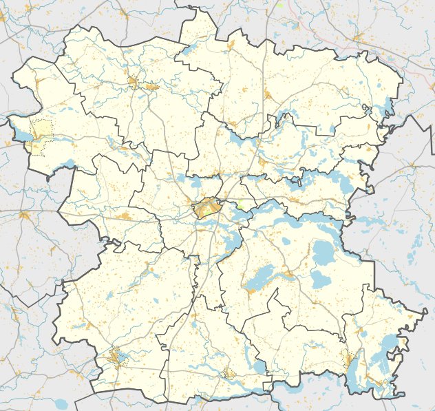

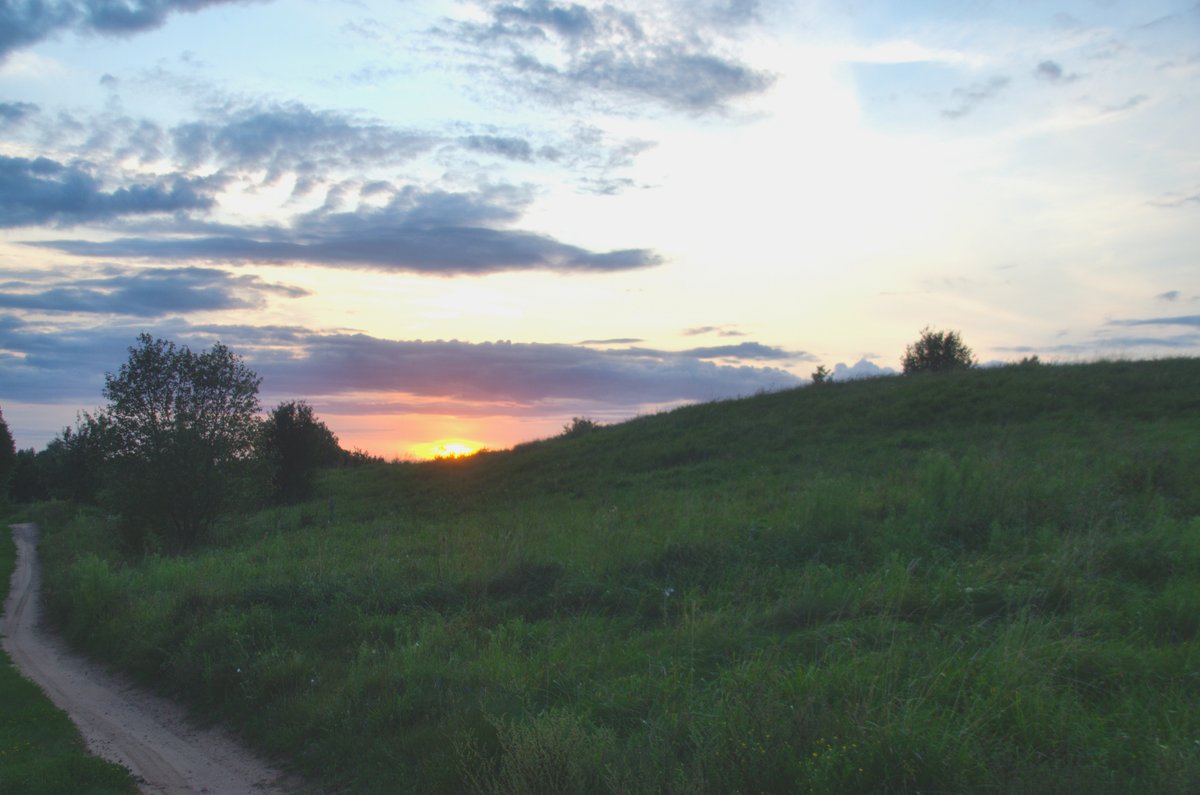
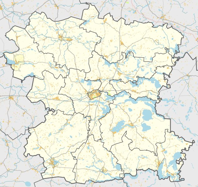
Located in Paraudinės village within the Alanta eldership, Paraudinės piliakalnis is a hillfort and settlement site. It is situated on a height in the left banks of the Virintos and Raudinės rivers, 100 meters west of their confluence. The site features a trapezoidal courtyard that is 40 meters long and 30 meters wide at the southwest end.
The fortification includes a 2.5-meter high embankment that is 14 meters wide at the southwest edge. From its outer side, a 6-meter high slope descends into a ditch that is 60 meters long and 10 meters wide. On the north-eastern slope, a terrace measuring 3 meters wide sits 3 meters below the courtyard. The slopes of the site reach heights of 10 - 12 meters.
Research conducted in 1936 and 1970 dates the site to the 1st millennium - the beginning of the 2nd millennium. In a settlement area on the eastern side covering 2 hectares, researchers found items including chaff and various types of ceramics, such as smooth and coarse pottery. The site is protected by a visual protection zone covering an area of 2,371,000 square meters.
Sources: Wikipedia, OpenStreetMap, Wikidata, Wikimedia Commons
Written by Nicolo Ciampini
Discuss this with the author and others
No comments yet. Be the first to start the conversation.