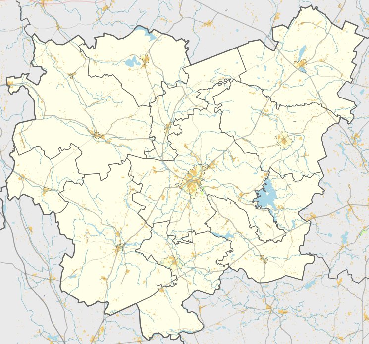

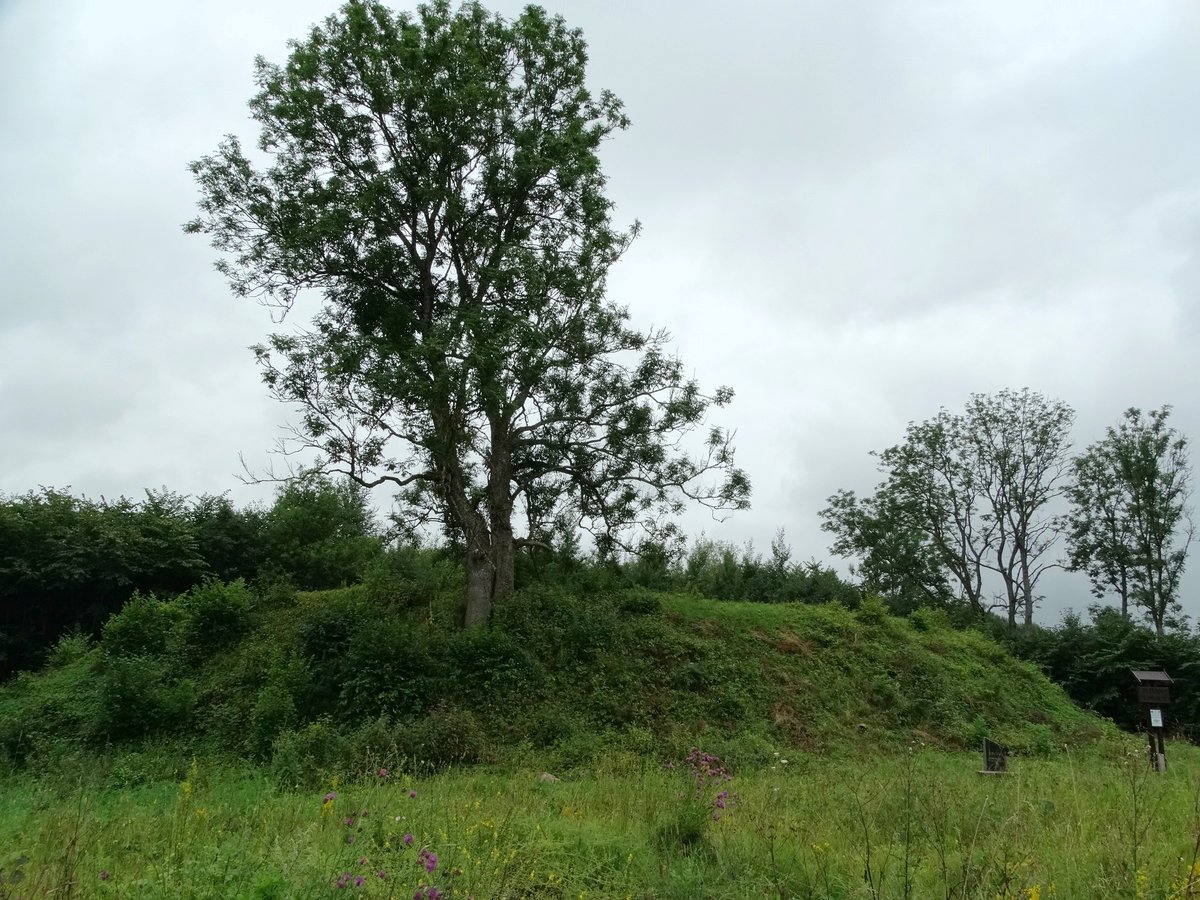
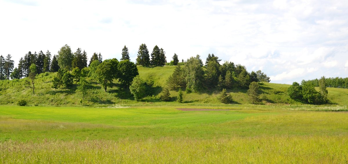
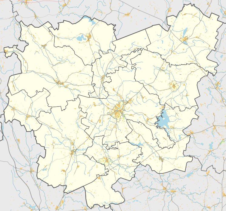
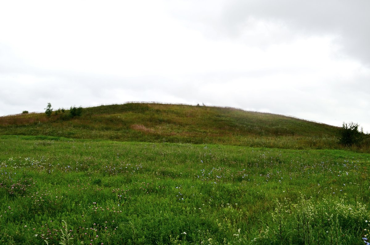
The Švedkalnis Hill, also known as Švedkapis or Baltušava, rises 7 meters above its surroundings in the village of Jašiškis. The site is reached by driving toward the disappeared Baltušava village and turning into a forest path. The oval-shaped plateau measures 20 by 15 meters and is oriented towards the southeast. Three to 3.5 meters below the surface of the plateau is a terrace 7-8 meters wide, which was once a ditch and a rampart. Some of this remains on the western slope at a width of 5.5 meters and a height of 0.6 meters.
The hillfort was surveyed by the Institute of History in 1970 and by the Scientific Methodical Board in 1974. It is dated to between the 1st millennium BC and the beginning of the 1st millennium AD. While the cultural layer was destroyed by plowing, trinamosios girnos (tripping flints) were discovered on the site. These artifacts are currently held in a private collection.
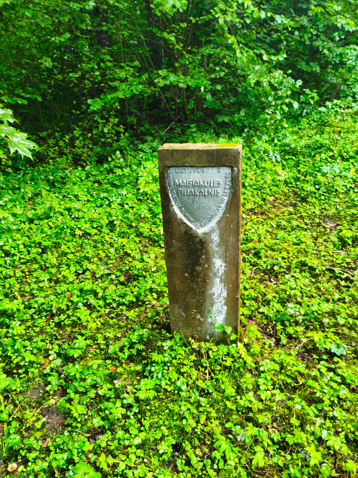
The area under the hillfort's cultural heritage protection covers 11,400 m², while the visual protection zone extends to a total area of 665,800 m². The site is surrounded by a mixed forest and remains a preserved archaeological fortification.
Sources: Wikipedia, OpenStreetMap, Wikidata, Wikimedia Commons
Written by Nicolo Ciampini
Discuss this with the author and others
No comments yet. Be the first to start the conversation.