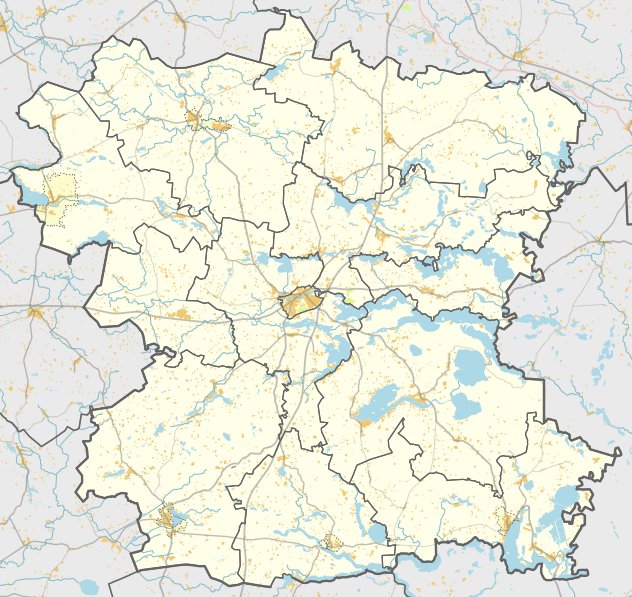

The Klabinių piliakalnis is a hillfort and settlement site located in the village of Klabiniai. The fort sits on a height on the right bank of the Virinta river, situated at a confluence with a preserved stream. Its rectangular courtyard measures 45 by 17 metres and is oriented towards the northwest.
The defensive structure includes a rampart at the northwest end, 1 metre high and 8 metres wide, with an outer slope of 3 metres leading into a ditch. This ditch is 10-15 metres long, 6 metres wide, and 1 metre deep. Behind this is a second rampart, 2 metres high and 8 metres wide, with an outer slope of 5 metres descending into a second ditch. This larger trench is 30 metres long, 12 metres wide, and 3 metres deep at its bottom.
A terrace between 5 and 12 metres wide descends from the northeast slope of the second ditch toward the southeast, likely serving as a path into the hillfort. The surrounding slopes reach heights of 15-17 metres. The hillfort is surrounded by oaks, and the courtyard contains a settlement covering 0.5 hectares on the southern slope.
Archaeologists date the site to between the 1st millennium and the beginning of the 2nd millennium. It was declared a cultural monument in 1998. The site is accessible via the road from Janonys to Dapkūniškis, turning left toward Antanova near the village of Klabiniai.
Sources: Wikipedia, OpenStreetMap, Wikidata, Wikimedia Commons
Written by Nicolo Ciampini
Discuss this with the author and others
No comments yet. Be the first to start the conversation.