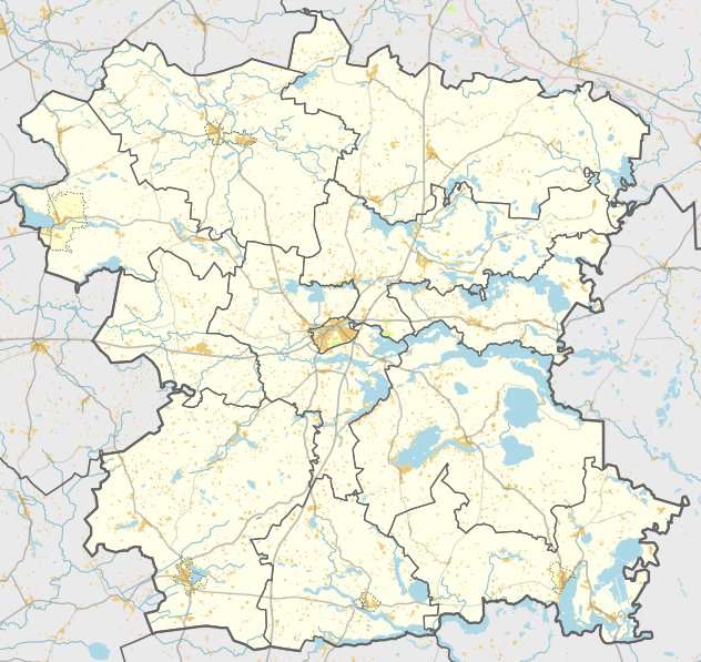

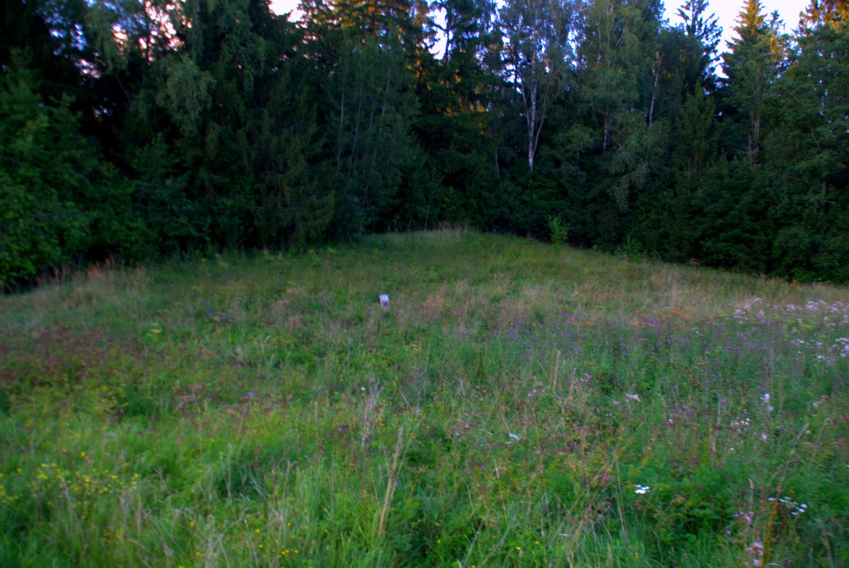
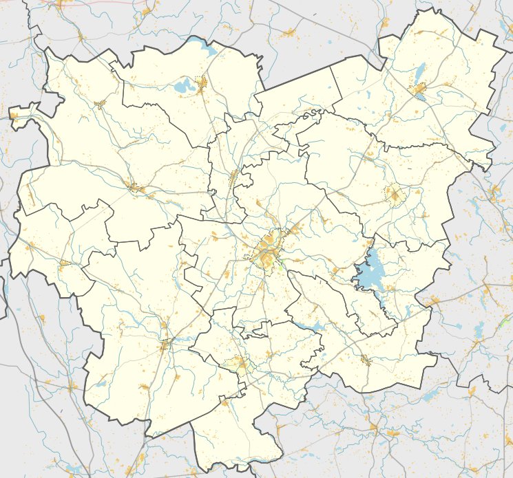
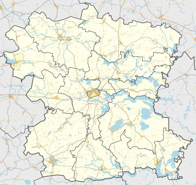
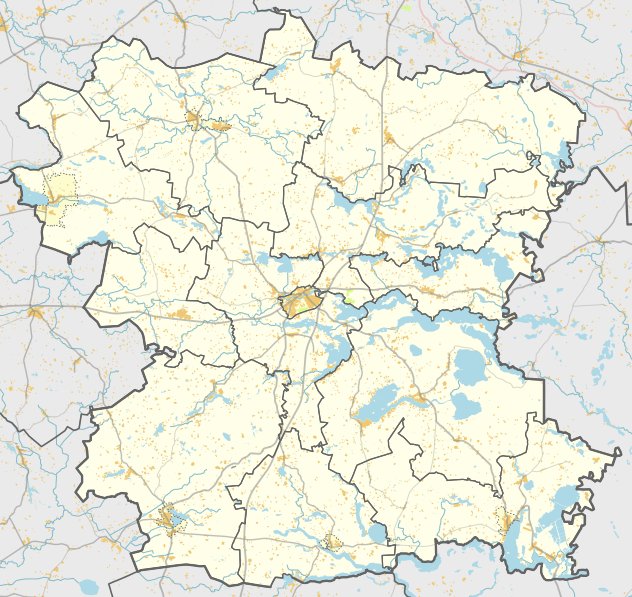
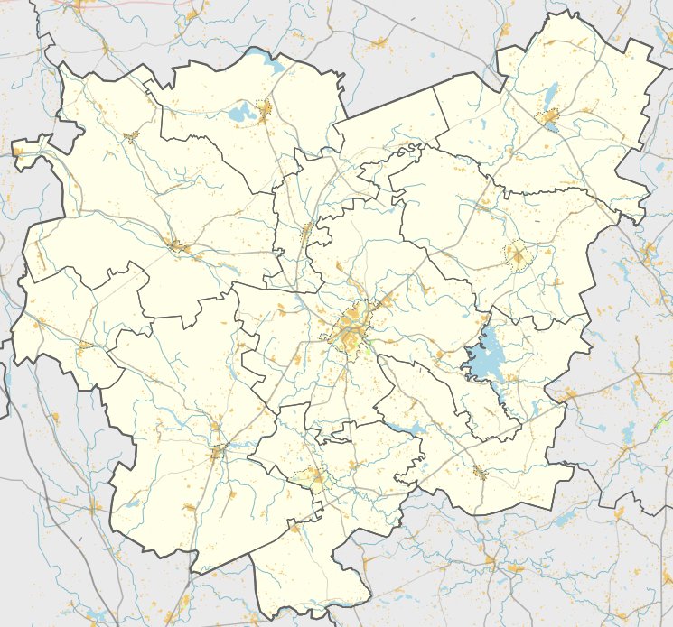
The Antakščių hillfort and settlement, Aukštakalnis, is located in the Molėčiai district near the village of Antakščiai. It is reached via a path from Alanta-Anykščiai, turning left by the Suojos stream, and is situated behind a farmstead about 800 metres from the road.
The hillfort is situated on a promontory on the right bank of the Prudelio (Melnytėlės) stream. The site features an oval clearing, oriented east to west and 12 metres wide. At its western end, there is a ditch one metre high and nine metres wide. This ditch and part of the clearing slide into the stream, where many pieces of charcoal were found on the crumbling slope. The slopes are 4 to 10 metres high, and the southern foot of the hillfort is lined with bulrushes.
The site is dated to the 1st millennium – beginning of the 2nd millennium. Petras Tarasenka first identified the hillfort in 1936. Since then, the owner of a nearby farmstead has maintained the area by cutting back bushes and thinning the trees on the slopes.
A settlement covering three hectares on the southern and western slopes yielded finds of smooth and rough pottery as well as slag. These finds are kept by the Lietuvos nacionalinis muziejus.
Sources: Wikipedia, OpenStreetMap, Wikidata, Wikimedia Commons
Written by Nicolo Ciampini
Discuss this with the author and others
No comments yet. Be the first to start the conversation.