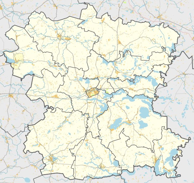

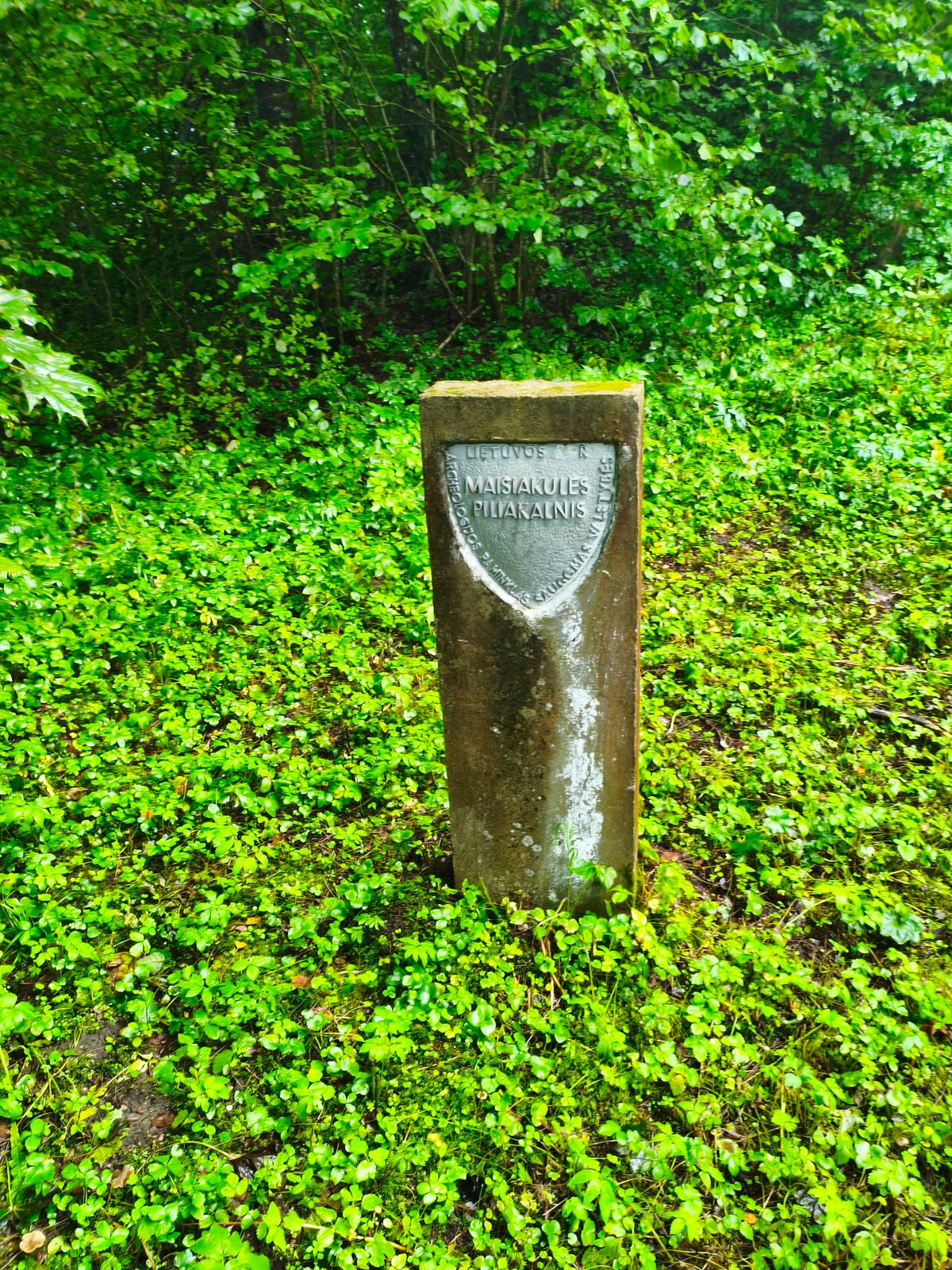
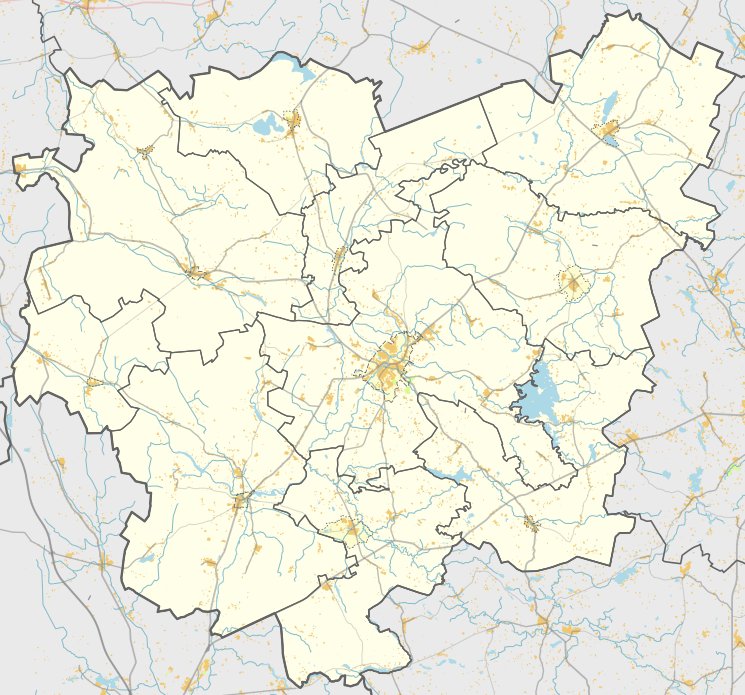
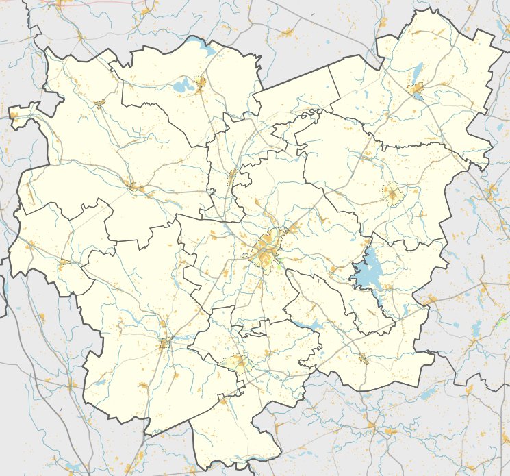
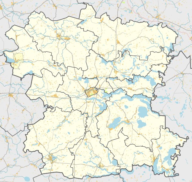
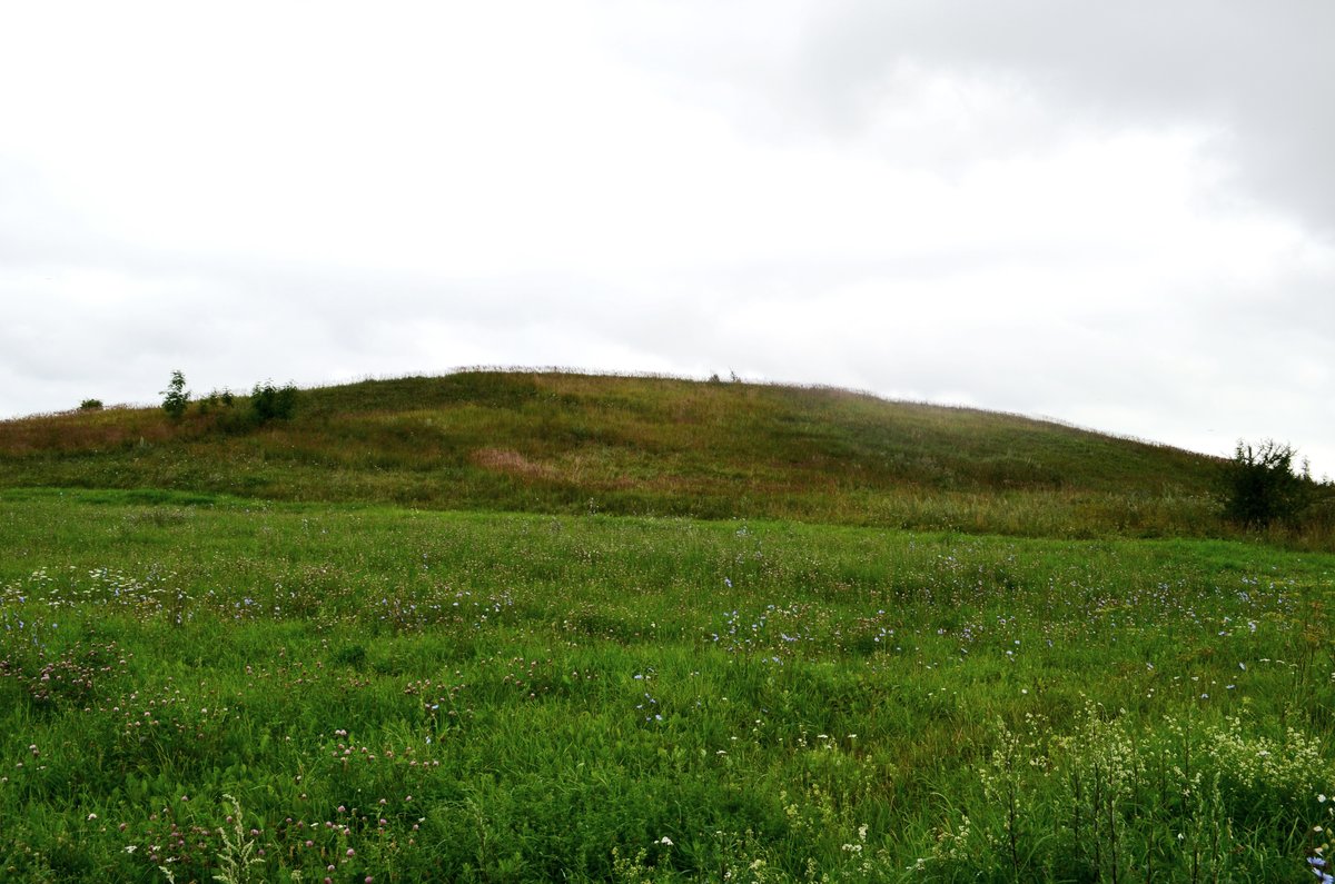
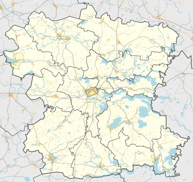
Located in the Molėtų district near the village of Antakščiai in Alanta parish, Antakščių II Hill Fort is an archaeological site dating to the first half of the first millennium. The site is reachable by traveling 1.9 km along the road from Antakščių to Bajorai, then turning right towards the east for 200 meters to see the sloping terrain.
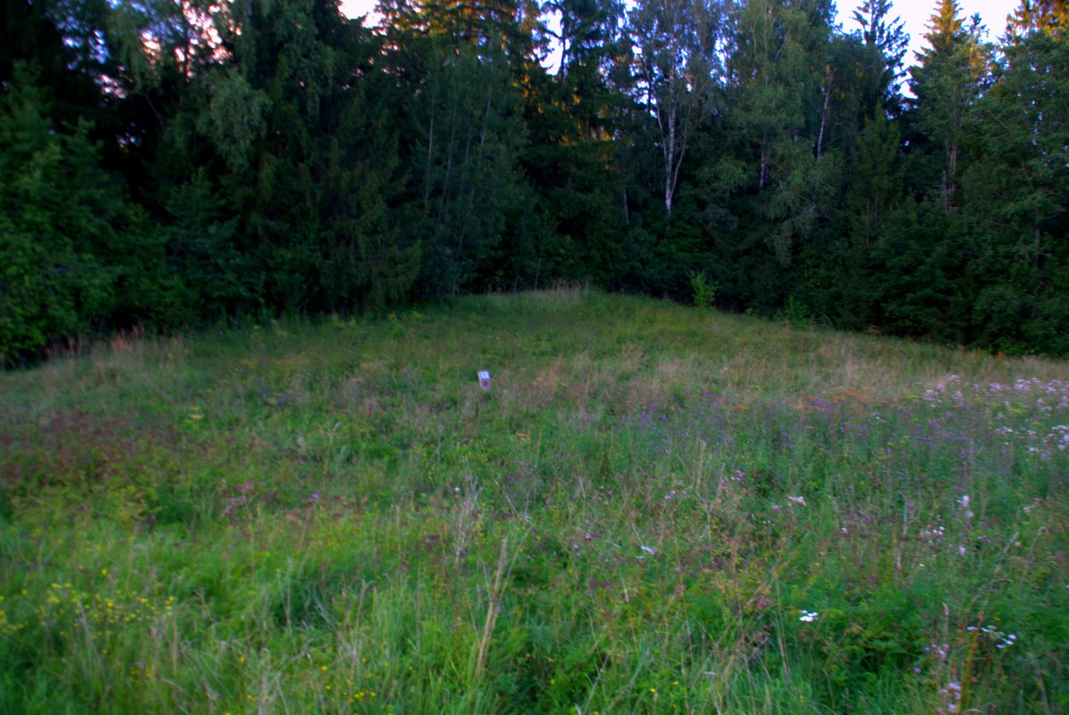
The fort is situated on a separate hill on the right bank of the Vastapė river, 1.8 km northeast of the first Antakščių hill fort. The oval-shaped courtyard measures 50x35 meters and slopes toward the northeast. The surrounding slopes stand between 10 and 14 meters high. While remains of walls and ditches were once located 3 to 5 meters below the surface in the southern, northern, and western slopes, these features were destroyed by plowing.
The site was heavily impacted by reclamation in the 1970s and is currently plowed, with the eastern part overgrown with nettles. On a one-hectare plot at the northwest and western foot of the hill, a settlement was discovered. Archaeologists found pieces of both broken and whole ceramics at this location, providing evidence of historical habitation.
Sources: Wikipedia, OpenStreetMap, Wikidata, Wikimedia Commons
Written by Nicolo Ciampini
Discuss this with the author and others
No comments yet. Be the first to start the conversation.