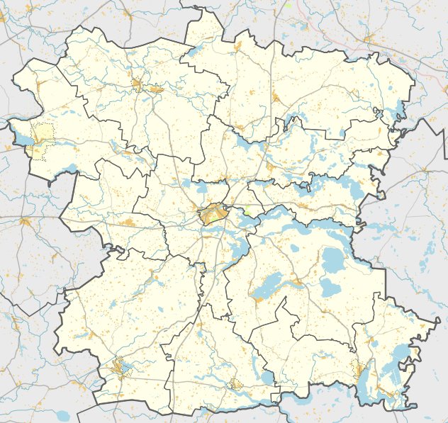

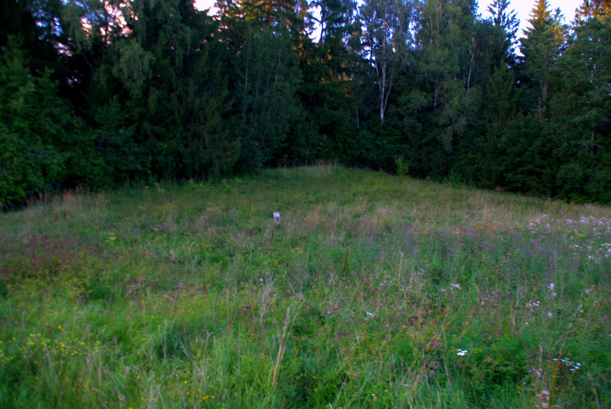
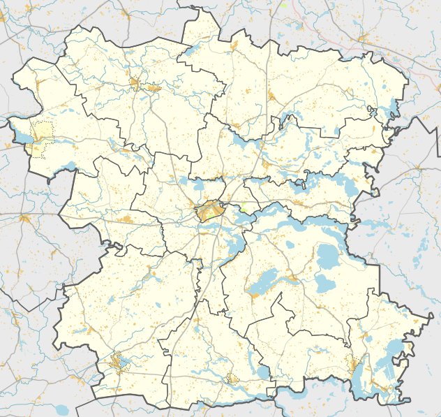
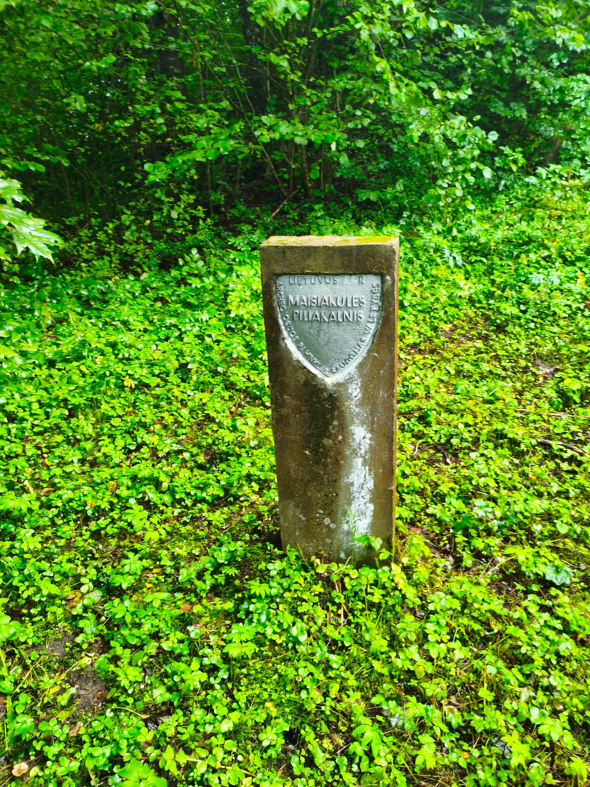
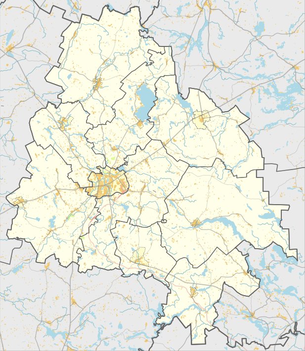
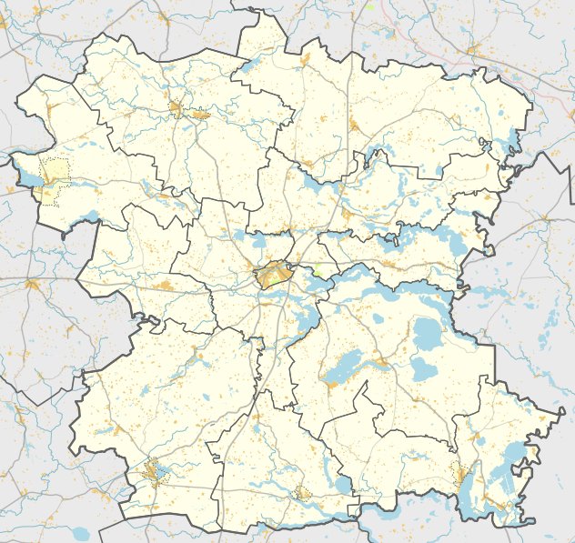
Located in the Molėtai district, Karališkių piliakalnis, also known as Liuko piliakalnis, is a unique archaeological site. The hillfort is situated on a high bank of the Karklos river and is surrounded by the river and its deep valley to the east, south, and west. Its eastern, southern, and western slopes reach heights of 10-12 meters.
At the summit lies a 30-meter long courtyard oriented north to south, with a 35-meter wide western section. This area is protected by a 40-meter long earthen rampart, which stands 0.8 meters high and 7 meters wide. The rampart features a 1-meter high outer slope leading to a 6.5-meter wide terrace, while an inner slope of 1.5 meters leads into a now-filled ditch. The site is characterized by its clay-covered surface and its northern section, which was washed by the Karklos river and remains partially excavated with a visible cellar in the northern part.
A settlement on the foot of the hill, covering 1.5 hectares, was researched in 1994. Within the cultural layer of the first half of the first millennium, archaeologists found a hearth, a fragment of an iron spearhead, and various types of pottery including smooth and coarse ceramics. To the northeast of the hillfort, a spring considered sacred is almost entirely overgrown. A destroyed 6th-7th century hillfort is also located 250 meters to the south of the main site.
Sources: Wikipedia, OpenStreetMap, Wikidata, Wikimedia Commons
Written by Nicolo Ciampini
Discuss this with the author and others
No comments yet. Be the first to start the conversation.