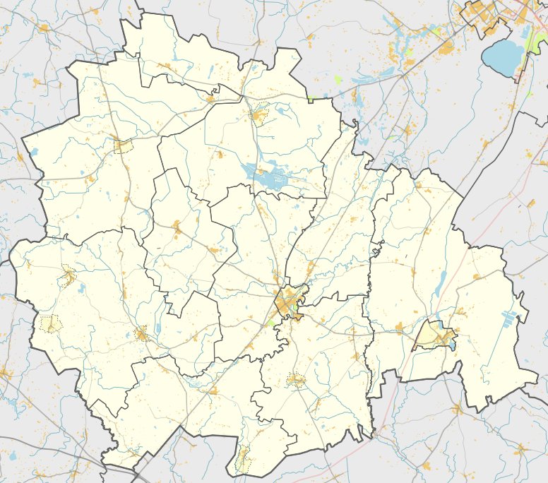

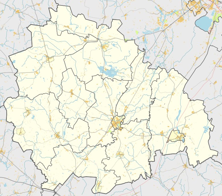
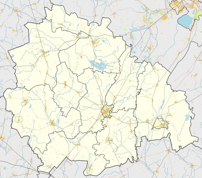
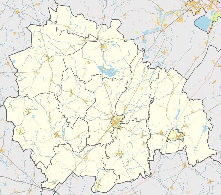
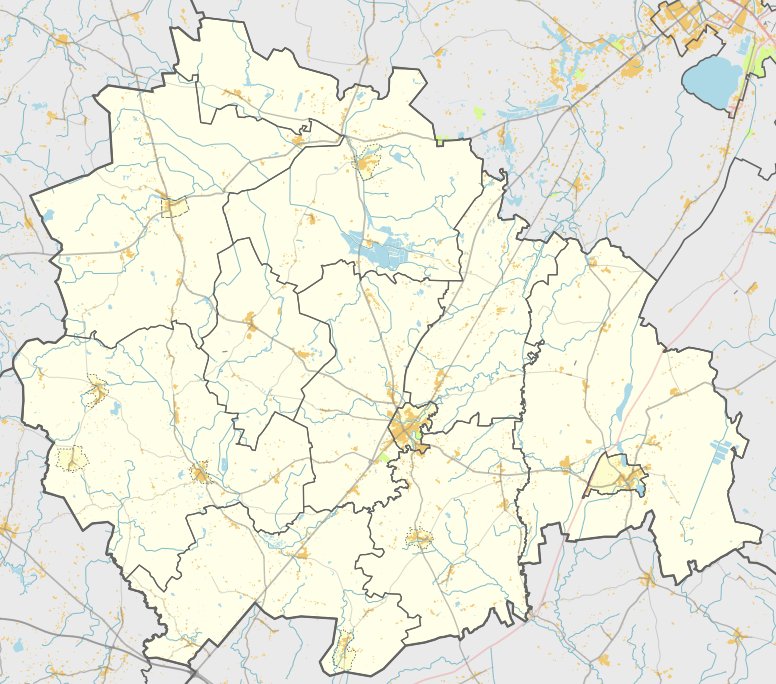
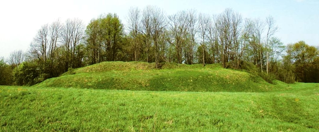
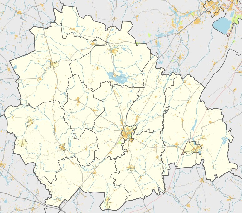
Papilių piliakalnis, also known as Pilis, is an archaeological fortification located in the Kelmė district. It is situated on the right bank of the Kražantė river, near the village of Papiliae. The site is reachable from the Kražiai - Griniai Valpainiai road by turning left toward the northeast and traveling for 1 km - it is located on the right toward the east.
The hill fort features an oval clearing measuring 65 by 45 metres, oriented towards the southwest and northeast, with an uneven top. The center and northeastern parts of the clearing rise by 2 metres. Archaeological finds in the area include both coarse and polished ceramics. The western, southern, and northwestern edges of the clearing are defined by a rampart that is 120 metres long, 2 metres high, and 17 metres wide.
The southern slope of the hill stands 7 to 8 metres high and is situated 20 metres from the river bed. Most of the trees on the slopes have been cleared, leaving the site as a grassy clearing. Archaeological surveys conducted in 1967 date the site from the first millennium to the 14th century.
Historical records provide additional context for the site's timeline. A castle known as Kražių pilis stood at this location, first mentioned in records dating back to 1253, with the castle site being specifically noted in 1394.
Sources: Wikipedia, OpenStreetMap, Wikidata, Wikimedia Commons
Written by Nicolo Ciampini
Discuss this with the author and others
No comments yet. Be the first to start the conversation.