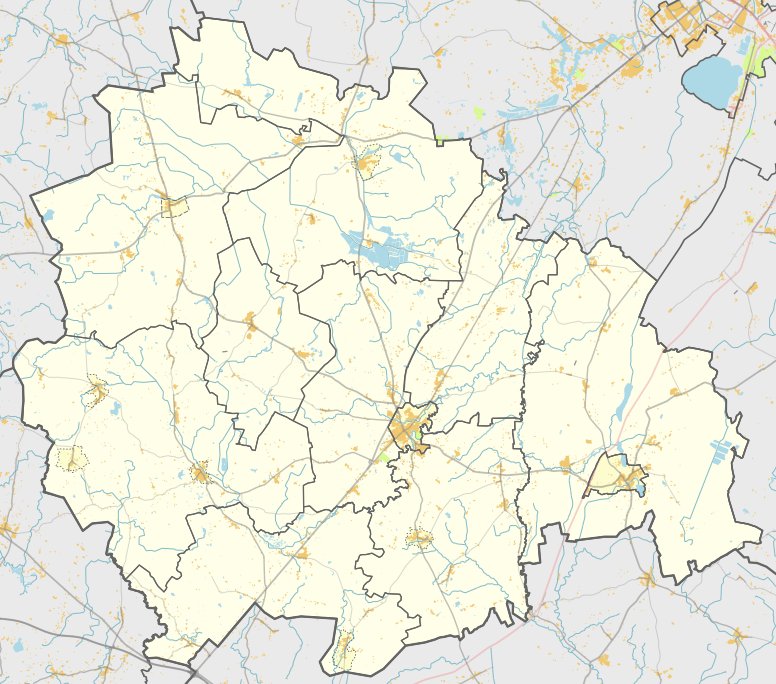

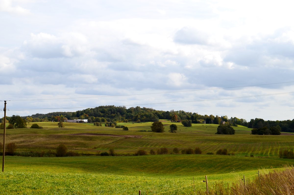
Located in the forest near the village of Papilalio, Papilalio piliakalnis is an archaeological site and hill fort situated on a separate hill. It sits on the northwestern bank of the former Pilies lake, which is now a swamp. The site is accessible via a forest road from the Kelmė - Kilonys route, roughly 1.3 km from the turn toward the southwest.
The hill fort features slopes ranging from 5 to 11 meters high. It has a circular clearing 35 meters in diameter, surrounded by boulders. The boulders are best preserved in the northern part of the clearing, where they reach a height of 1.3 meters and a width of 15 meters. The site is surrounded by the Gelinkos stream and surrounding hills.
On the northern-northeastern slope of the hill fort, there is a trench 15 meters wide and 1 meter deep, located 6 meters below the clearing. This leaves a section of the hill's edge 24 meters long and 30 meters wide, which is surrounded by a ditch and resembles a 'papilė'. Archaeological research was conducted on the site in 1903 by Liudvikas Kšivickis and again in 1967 by the Institute of Lithuanian History. The site dates back to the 1st millennium.
Sources: Wikipedia, OpenStreetMap, Wikidata, Wikimedia Commons
Written by Nicolo Ciampini
Discuss this with the author and others
No comments yet. Be the first to start the conversation.