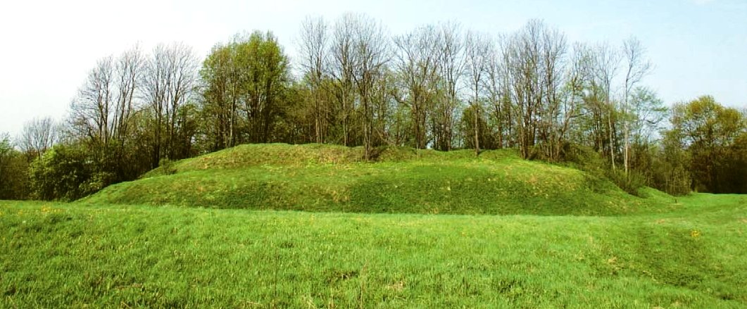

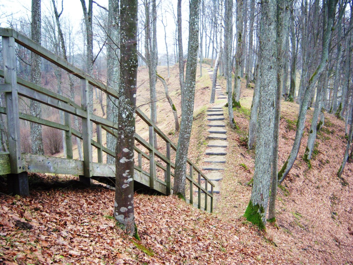
Nestled on the left bank of the Balčios river, the Pabalčių Piliakalnis is located a few kilometers along the Nemakščiai - Jauniškė road. This triangular structure is oriented in an east-west direction, measuring 22 m long and 26 m wide at its eastern end. It features a 60 m long, 4 m high arc-shaped rampart that remains only on the north-eastern edge. On the eastern slope, 4 m above the foot, there is a 7.5 m wide crescent-shaped terrace.
An 8 m wide and 1 m deep arc-shaped ditch is excavated on the eastern side of the hill. The slope itself reaches a height of 15 m. To the north and east of the hillfort lies a grove with a 30 m long and 80 m wide courtyard, which descends into an 11 m wide and 70 cm deep ditch on its southern edge.
To the east of the hillfort, a settlement spans 1 hectare where modeled ceramics and slag were found. Within the courtyard, archaeologists discovered half of a rotating jug, a plowshare, and other artifacts. The site is historically significant as the location of Milžava castle, which was recorded as a fort between 1385 and 1386.
Sources: Wikipedia, OpenStreetMap, Wikidata, Wikimedia Commons

Written by Nicolo Ciampini
Discuss this with the author and others
No comments yet. Be the first to start the conversation.