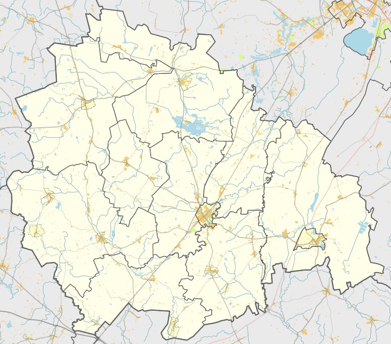

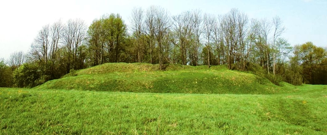
Gudelių piliakalnis, also known as Pilikė, is a hillfort located in the Kelmės district. The site sits on a high point on the left bank of the Ančios river, surrounded by various streams and the Ančios river itself. It dates back to the first millennium to the beginning of the second millennium, as determined by archaeological research conducted in 1964.
The hillfort features a rectangular courtyard, measuring 8 meters long and 8 meters wide, oriented east to west. Along the eastern edge, there is a rampart 3 meters high and 14 meters wide. The eastern slope contains a trench 5.5 meters wide and 2 meters deep, followed by a second rampart 1.5 meters high and 6 meters wide. Outside of this is a second trench 5 meters wide and 0.5 meters deep, with a slope rising to a third rampart 1.2 meters high and 6 meters wide. A third trench, 4 meters wide and 1 meter deep, lies behind this.
At the western end of the courtyard, a rampart 0.5 meters high and 9 meters wide is situated. On the northwest slope, a narrow section is reinforced with five ramparts and ditches in quick succession. This includes a third rampart 0.3 meters high and 3 meters wide, followed by a third trench 2 meters wide and 0.2 meters deep, a fourth rampart 0.5 meters high and 8 meters wide, and a final set of ramparts and trenches leading to a sixth rampart 1.5 meters high and 12 meters wide at the edge of the curtain wall.
Today, the site is covered in sparse maple trees. The archaeological findings highlight the specific geometric layout of the courtyard and the sequence of earthworks that define the structure's perimeter.
Sources: Wikipedia, OpenStreetMap, Wikidata, Wikimedia Commons

Written by Nicolo Ciampini
Discuss this with the author and others
No comments yet. Be the first to start the conversation.