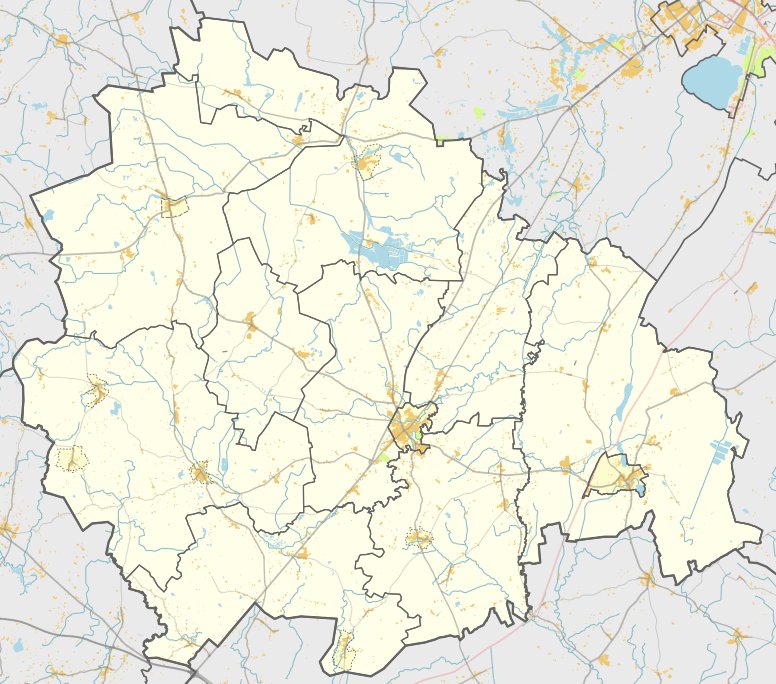

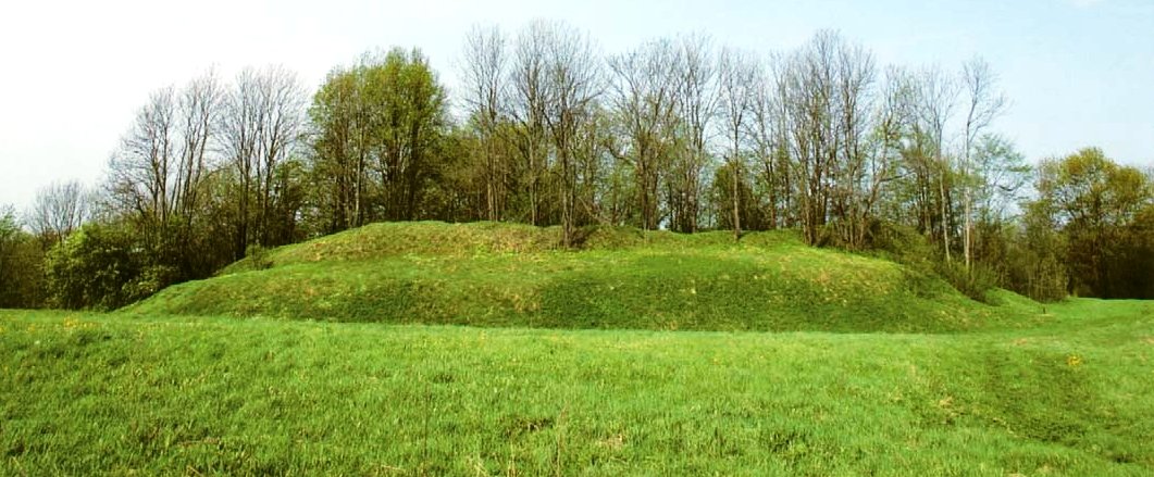
Located near the village of Plūsčiai, Plūsčių piliakalnis is a hill fort rising 8 meters high. The site is situated on a separate hill, with the fort's clearing being shaped by a marsh to the north and northeast, and a ditch to the south that drains water from the marsh into a valley. In a 1967 description, the clearing was recorded as 15 meters long and 10 meters wide, featuring a 0.5-meter high embankment on the northwest edge.
The fortification features a structure where the slopes are packed with two sets of ditches and embankments that have now turned into terraces. On the northwestern slope, 2 meters below the clearing, there is a 3.5-meter wide ditch with a depth of 0.2 meters, followed by a 0.2-meter high embankment 4 meters wide. Another 4-meter wide terrace is located 1.5 meters below those features.
Archaeological excavations were conducted on the site in 1967 by the Institute of Lithuanian History. The hill fort is dated to the first millennium.
Sources: Wikipedia, OpenStreetMap, Wikidata, Wikimedia Commons
Written by Nicolo Ciampini
Discuss this with the author and others
No comments yet. Be the first to start the conversation.