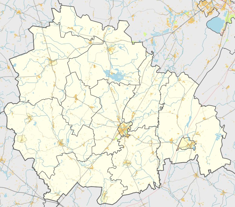

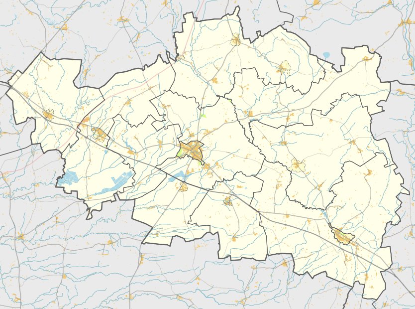
The Vaidatonių hillfort, also known as Šimkaičiai or Pilalė, is an archaeological fortification located in the Kelmės district of Lithuania. It is situated near the villages of Šimkaičiai and Vaidatoniai in the Pakražančio eldership. The site can be reached from the A1 highway by turning onto the A12 toward Ryga–Šiauliai–Tauragė–Kaliningradas, traveling past the Stulgiai – Vaidoniai road and turning north into the forest at the edge of the field.
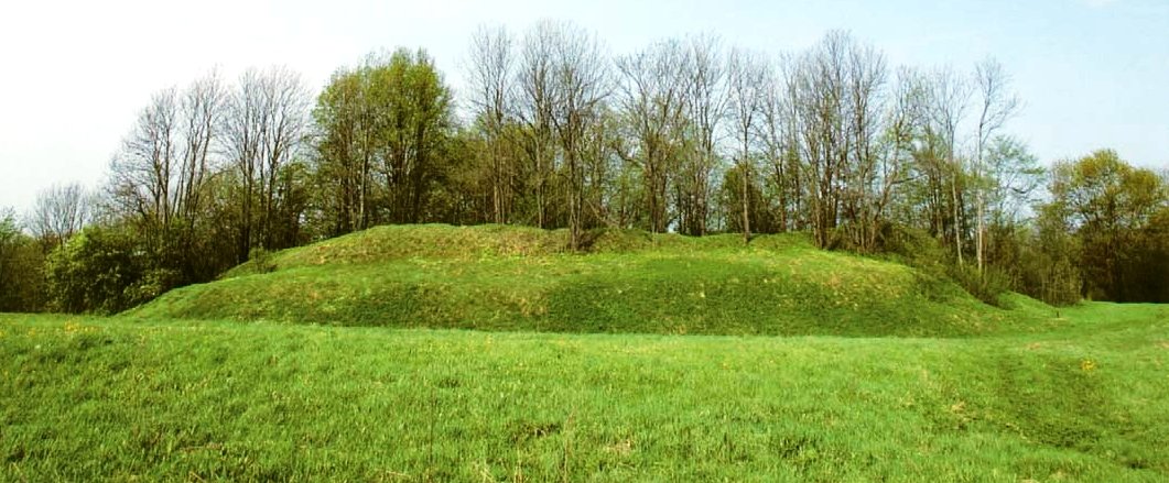
The hillfort is situated on a coastal point of the Ančia river, with the river and its valley bordering it from the northwest, north, and east. The site features a triangular area that is 14 metres long and 10 metres wide at the base, sitting 2 metres lower than the surrounding terrain in the northeast. Along the southwest edge, there is a ramp-shaped embankment 2 metres high and 14 metres wide, with outer slopes reaching 17 metres in height.
Archaeological research conducted by the Institute of Lithuanian History in 1964 dates the fortification to the first millennium, nearing the start of the second millennium. The area around the ramp and the triangular courtyard shows signs of erosion and is covered with grass and weeds. The site remains a preserved archaeological landmark of the region's ancient history.
Sources: Wikipedia, OpenStreetMap, Wikidata, Wikimedia Commons

Written by Nicolo Ciampini
Discuss this with the author and others
No comments yet. Be the first to start the conversation.