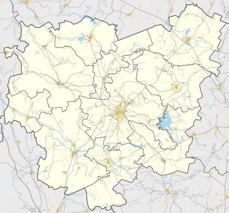

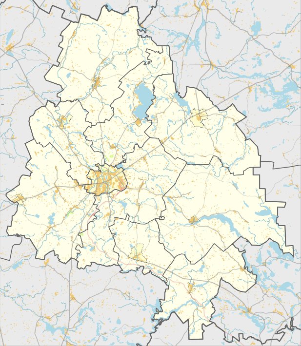
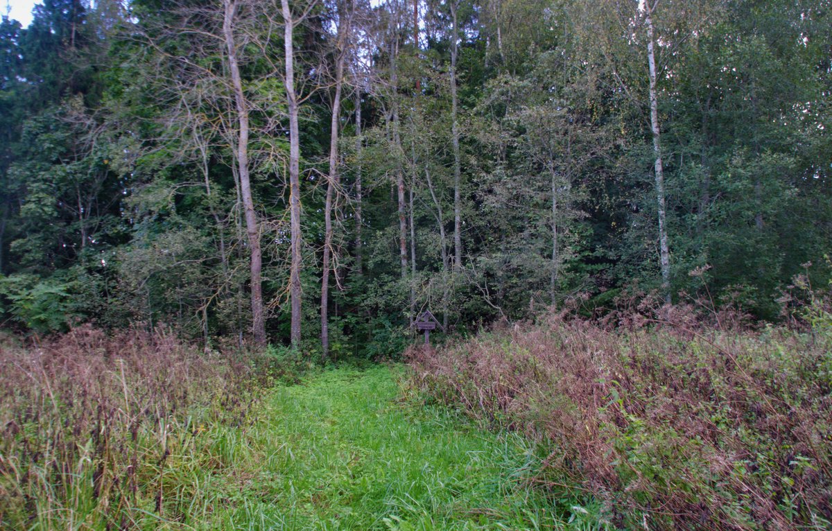
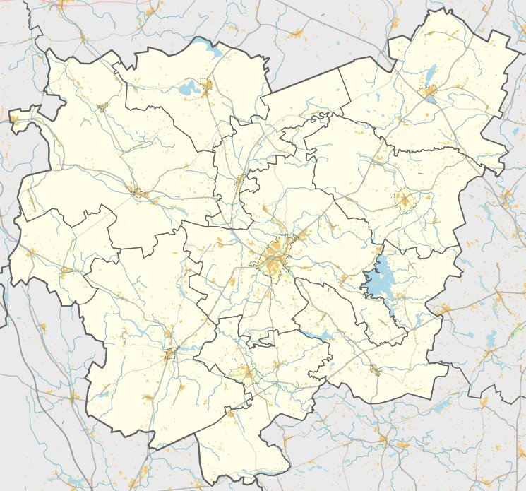
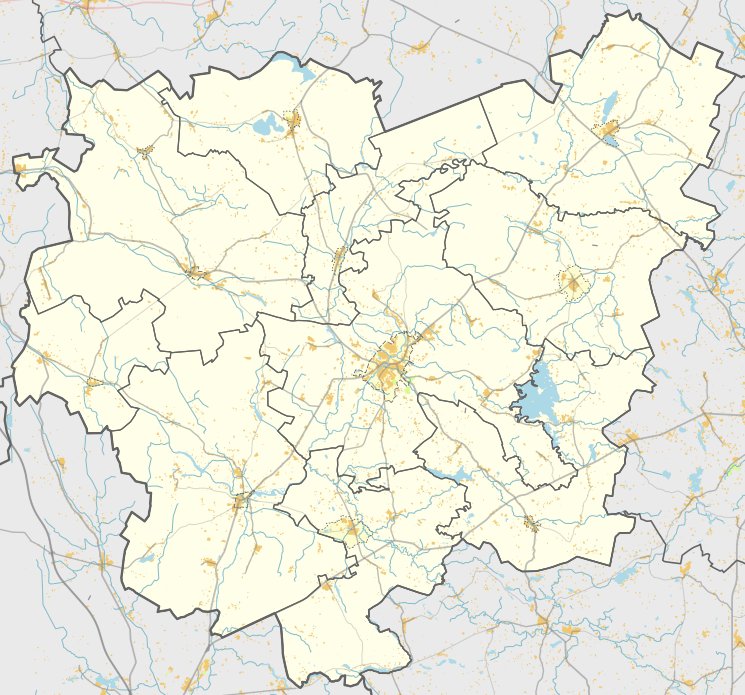
Piliakalnis, a hill fort with a settlement, is located in the Anykšiai district, west of Kriokšlio in Debeikių seniūnija. It is reachable from the Rubikiai - Mačionys road by turning right at Kriokšlio and following a field path to the right for about 700 meters, then 50 meters to the right past a farmhouse.
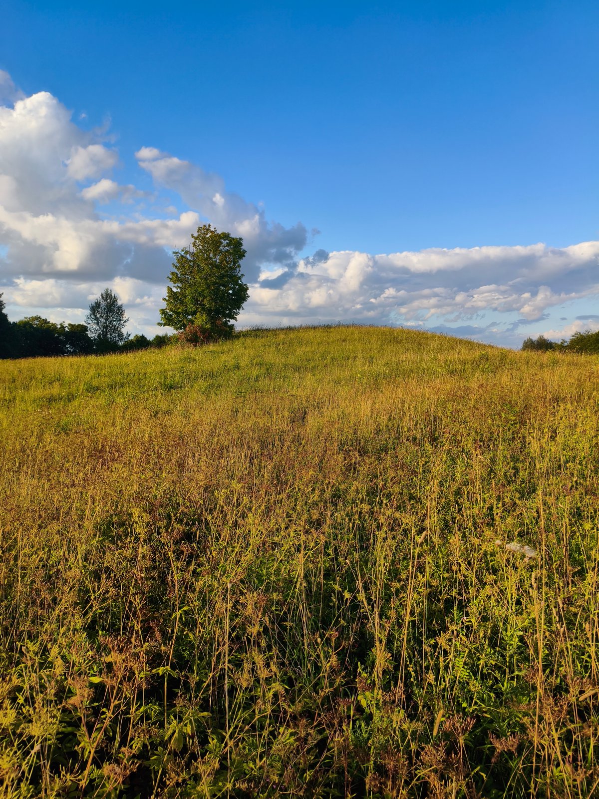
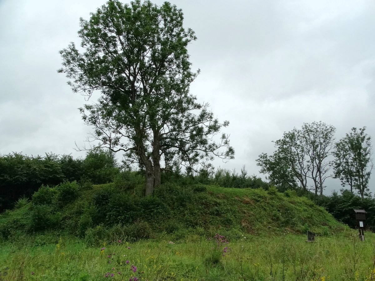
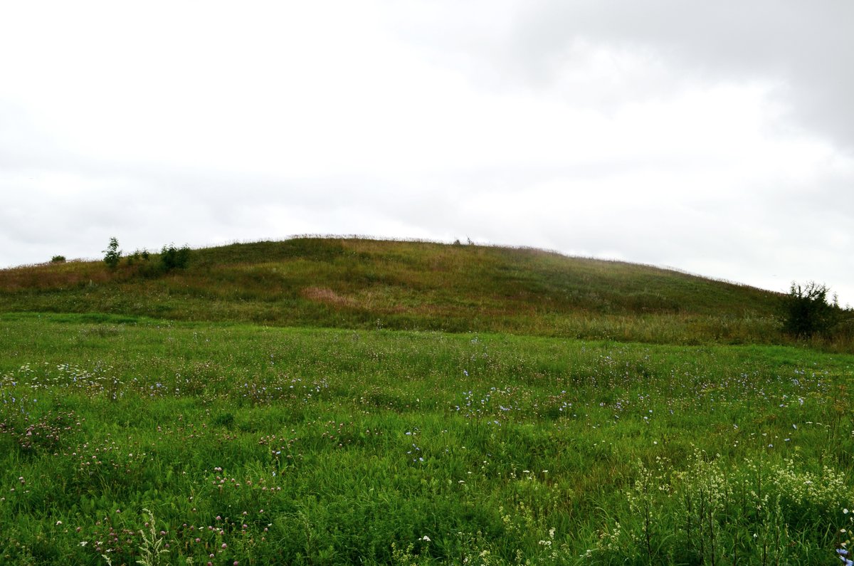
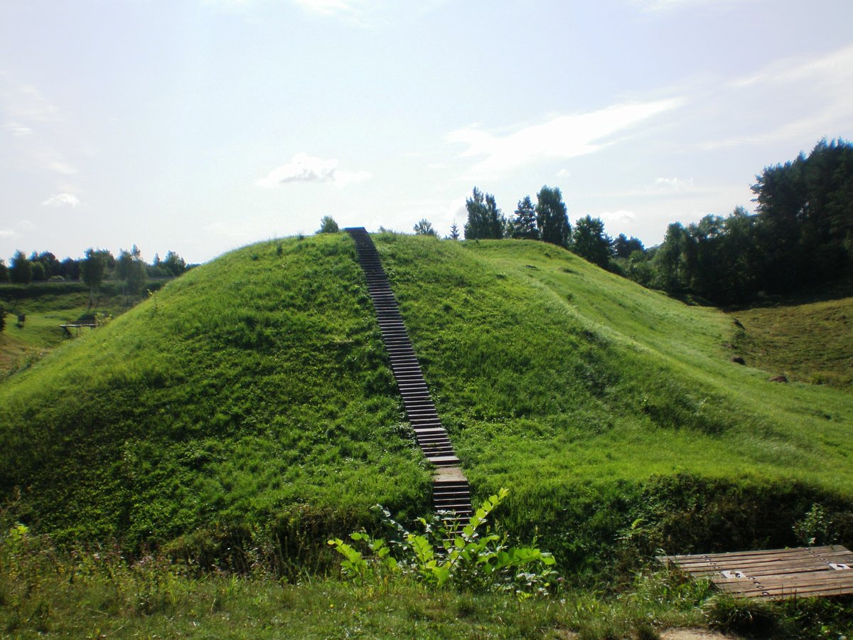
The hill fort was constructed on a separate cape of Lake Rubikai, where the lake forms its northern and western sides. The slopes are steep only from the lake side, reaching a height of about 8 meters. The oval-shaped courtyard is long and oriented in a northwest - southeast direction, measuring 30x24 meters. While heavily eroded by wind and beginning to be overgrown by bushes, a stone monument was erected in the courtyard in 2003.
The fort dates back to the 1st millennium and was surveyed by the Institute of History in 1969 and the Scientific Methodical Council in 1974. The cultural heritage site covers an area of 18,000 m², with a physical protection zone of 4,000 m². To the east of the hill, a settlement covering about 0.2 hectares is situated on a plot of land, and a nearby hillfort remains 700 meters southeast of the site.
Sources: Wikipedia, OpenStreetMap, Wikidata, Wikimedia Commons
Written by Nicolo Ciampini
Discuss this with the author and others
No comments yet. Be the first to start the conversation.