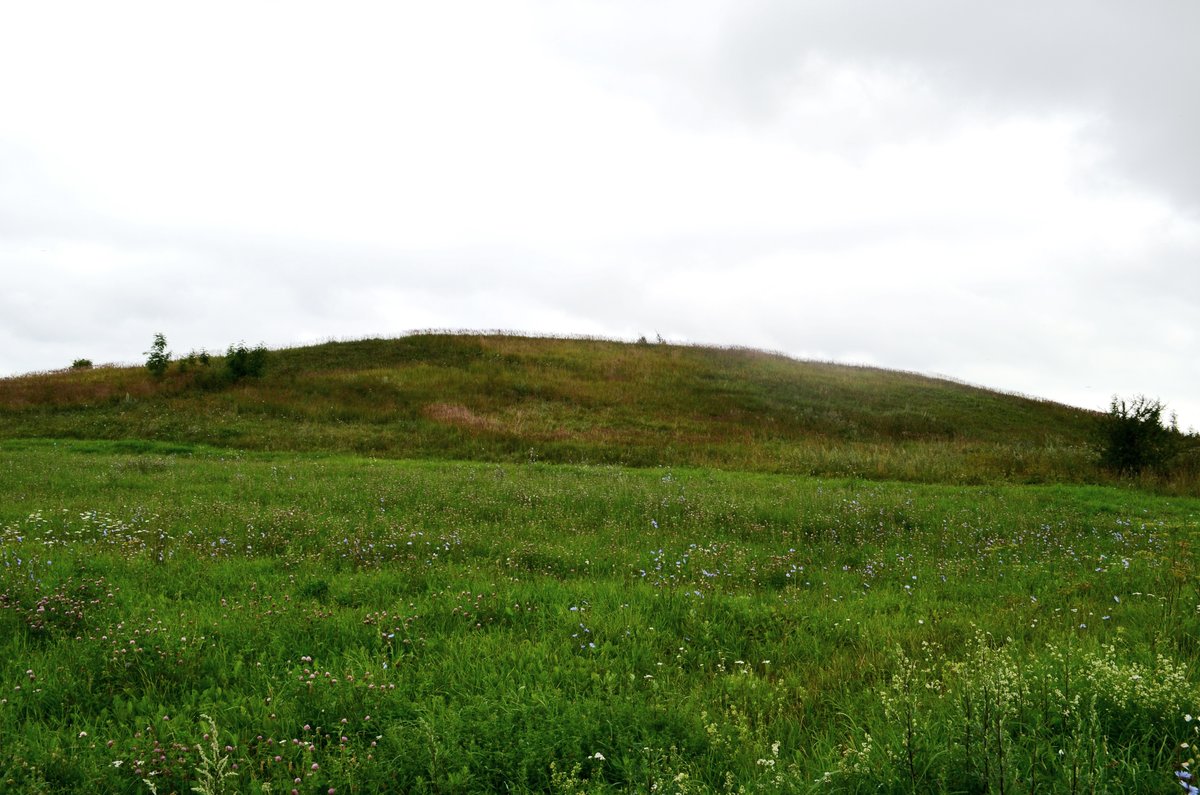

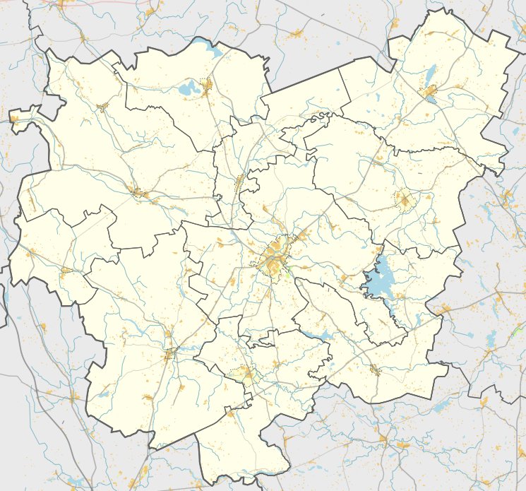
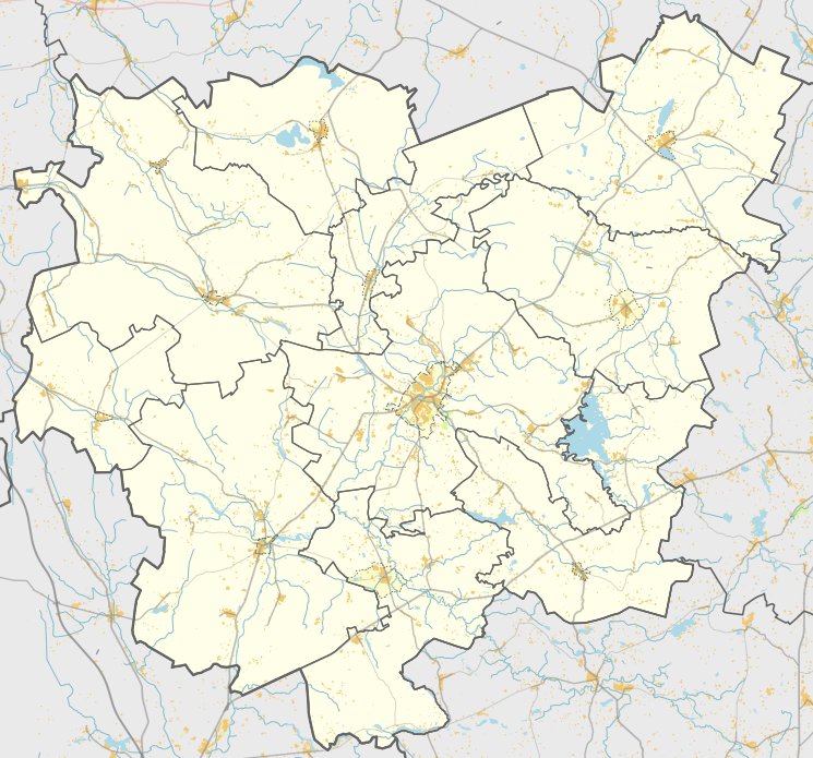
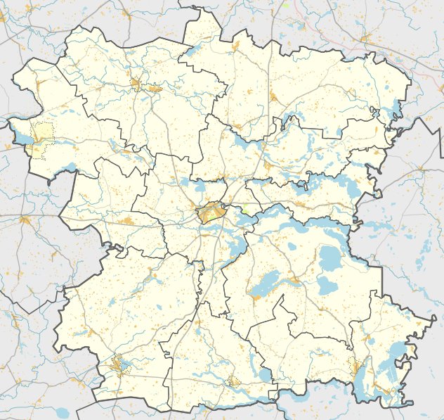
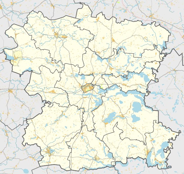
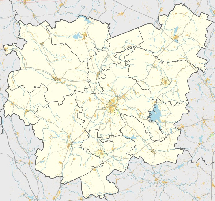
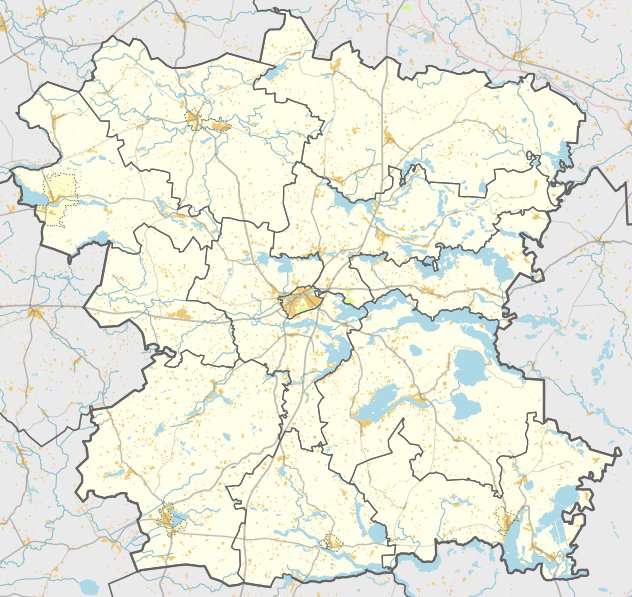
Jonydžių piliakalnis, also known as Balnakalnis, is located in the village of Jonydžiai, within the Skiemonių eldership of the Anykščiai municipality. To reach it, travelers can take the Molėtai – Anykščiai road, turn left at junction 119, and travel approximately 400 meters to the last homestead before finding the site located about 50 meters beyond it.
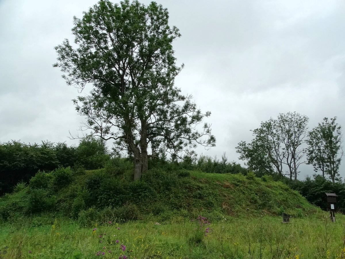
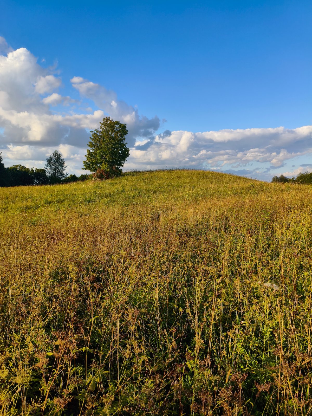
The hill fort is situated on a separate hill, elongated from the southwest to the northeast, with slopes slanted toward the west. During land reclamation in 1972, a bulldozer significantly disturbed the site, burying the highest part by at least 1 meter. On the highest part of the hill, there is an oval area approximately 20 by 10 meters in size, oriented from the southwest to the northeast, with mounds at the ends reaching up to 1 meter in height. The slopes are built with stones reaching 10 - 14 meters high.
Research conducted by the Institute of History in 1997 revealed a cultural layer of grey soil, up to 80 cm thick, spanning an area of about 2.5 hectares at the northwestern and northeastern feet of the hill. This layer dates from the 18th to the 19th centuries and appears to cover earlier settlements. The site is recognized as a monument of regional significance.
Sources: Wikipedia, OpenStreetMap, Wikidata, Wikimedia Commons
Written by Nicolo Ciampini
Discuss this with the author and others
No comments yet. Be the first to start the conversation.