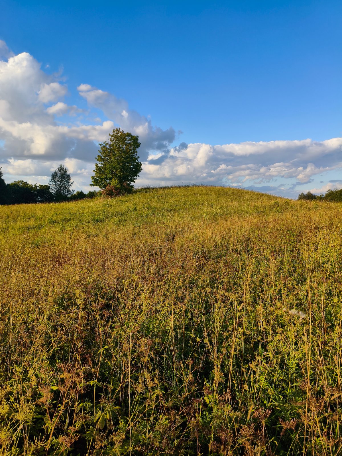

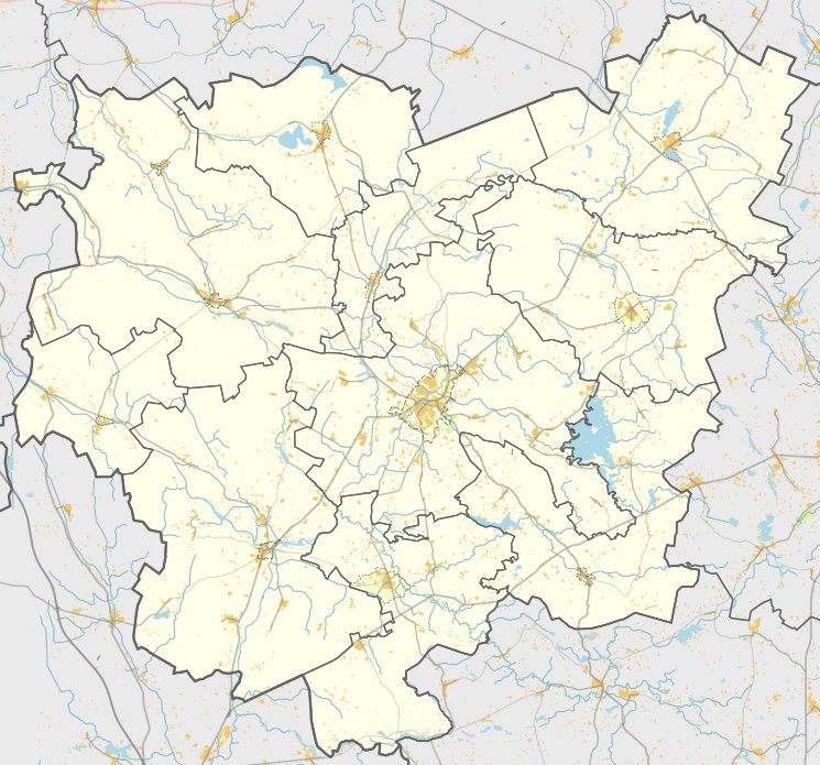
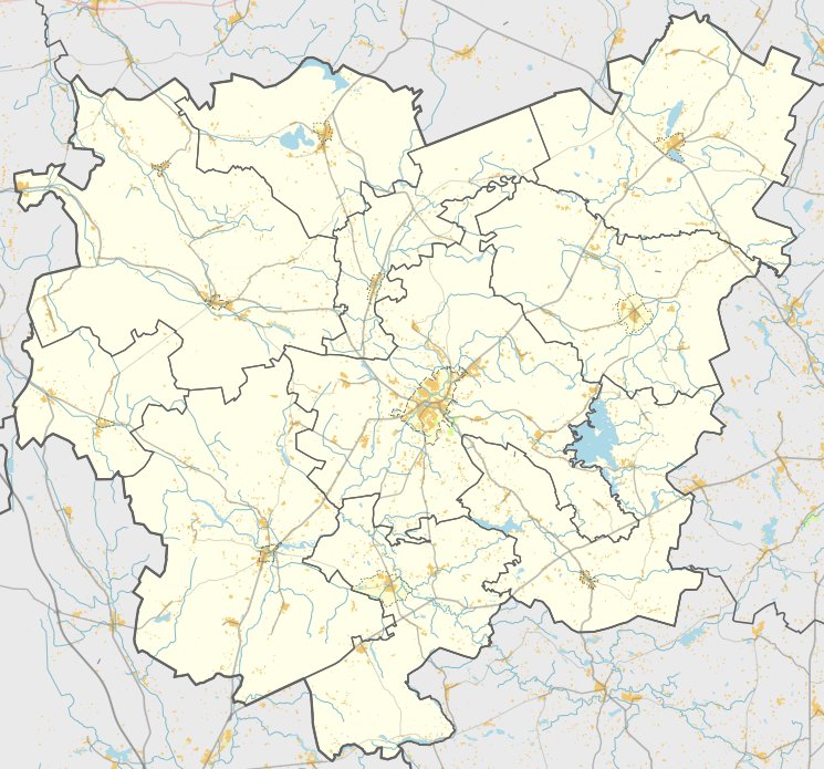
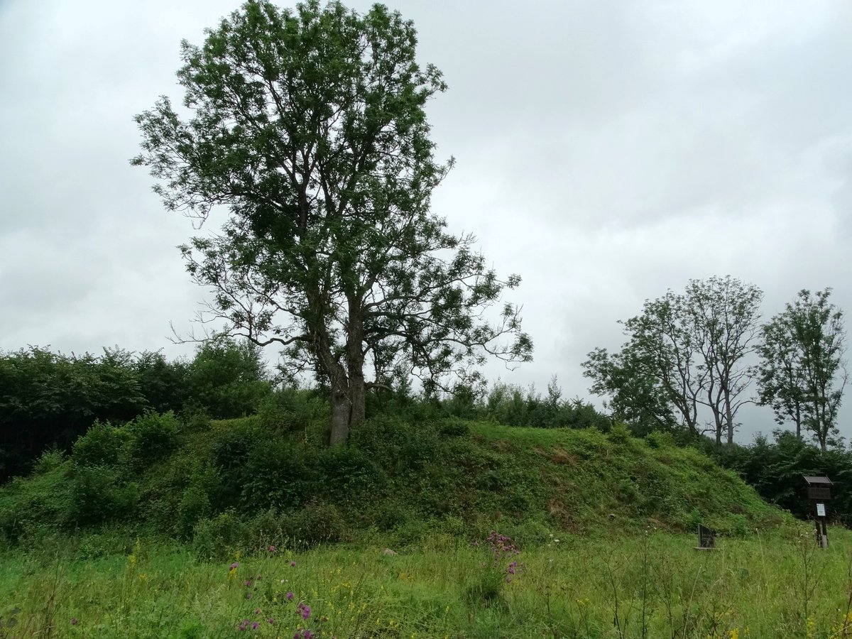
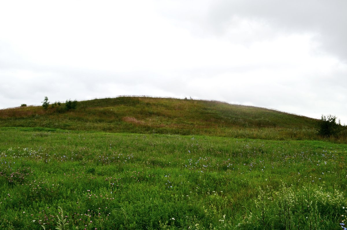
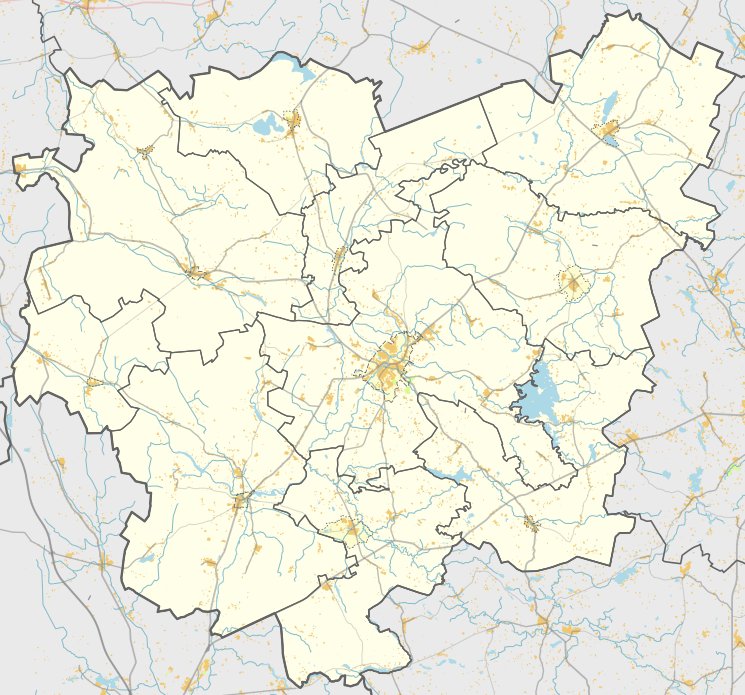
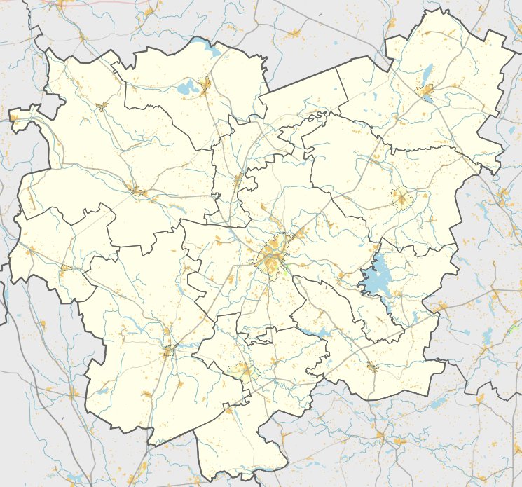
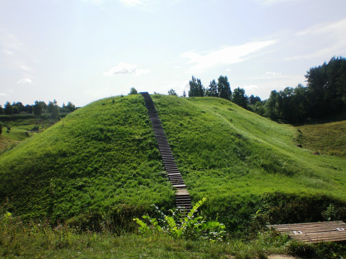
Bijeikių piliakalnis, also known as Papilio kalnelis, is a hillfort located in the Anykščiai district. It sits between the Rubikių hydrographic district and the Dusynos lakes, approximately 350 m north of the Leliūnai–Anykščiai road. The mound is oriented in a north-south direction and stands 16 m high from the water level of the lakes.
The site features a long plateau measuring 35 x 15 m, which shows marks of a cultural layer. For a long time, the mound has been used for plowing.
In 1943, local residents led by teacher A. Grigas dug a small trench in the northern slope of the hillfort and found a cultural layer up to 1.5 m thick. Archaeological surveys in 1969 and 1974 by the Institute of Lithuanian History found marks of ancient settlements, along with pottery fragments with smooth and rough surfaces in the southwestern and northern parts of the plateau. The finds are kept in the National Museum of Lithuania.
Sources: Wikipedia, OpenStreetMap, Wikidata, Wikimedia Commons
Written by Nicolo Ciampini
Discuss this with the author and others
No comments yet. Be the first to start the conversation.