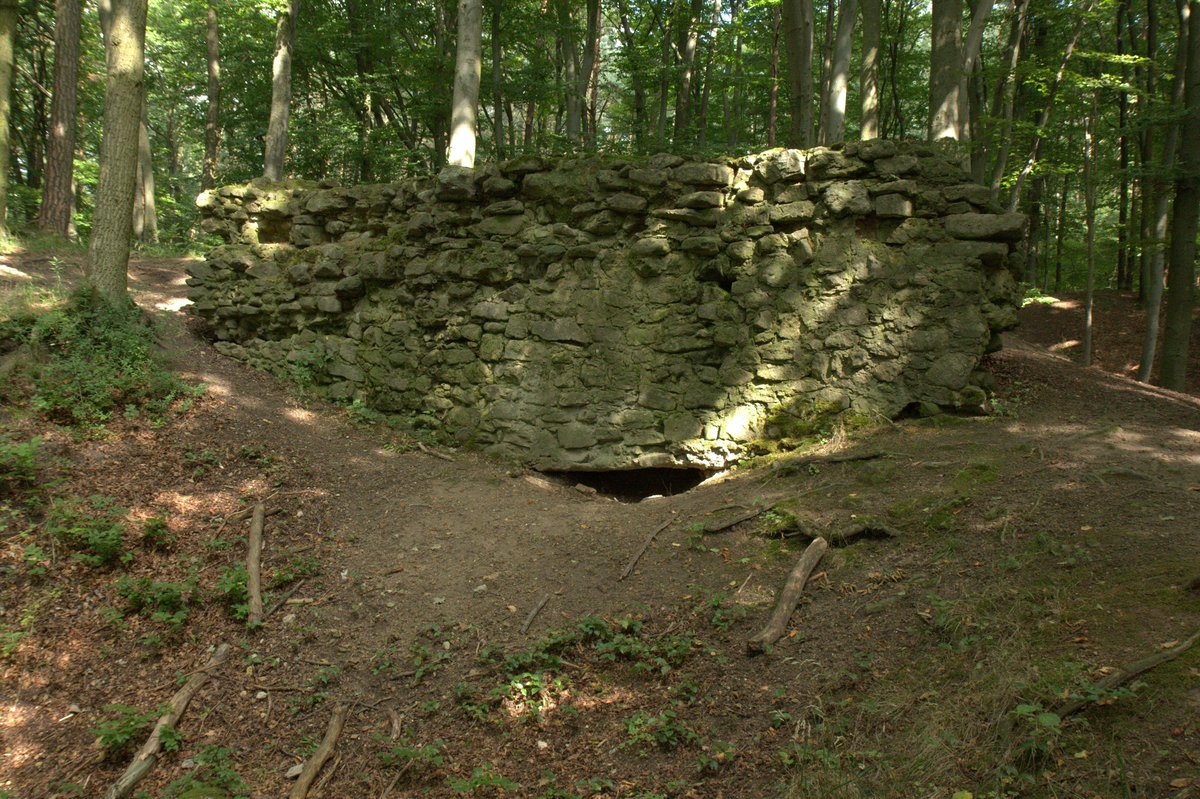
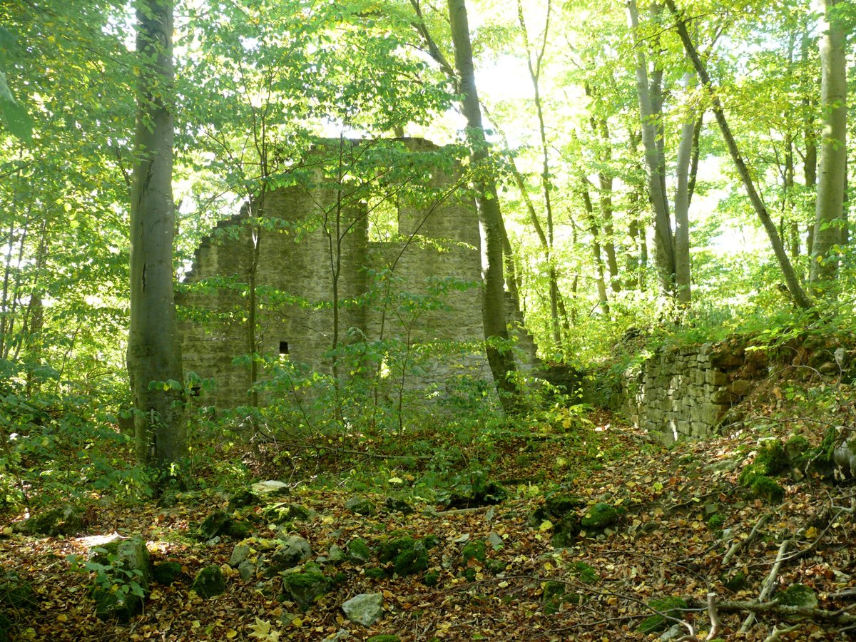
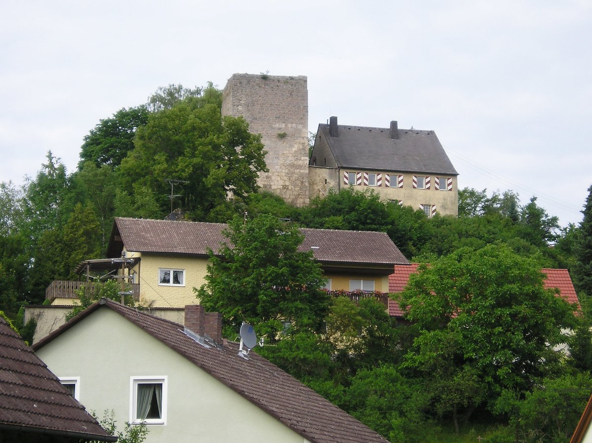
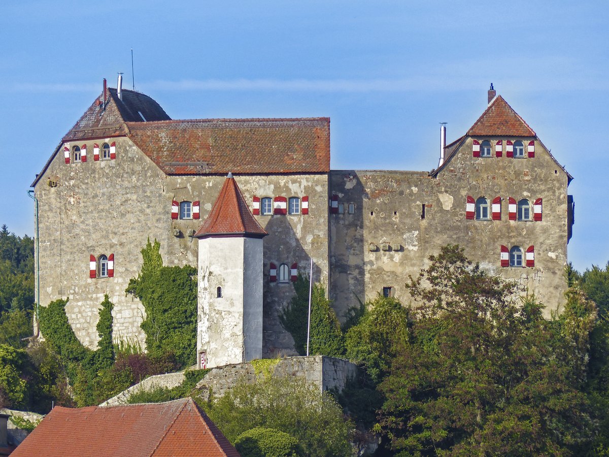
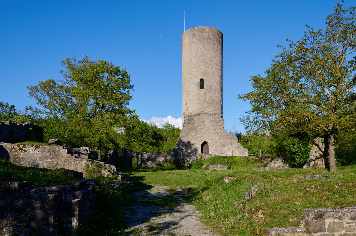
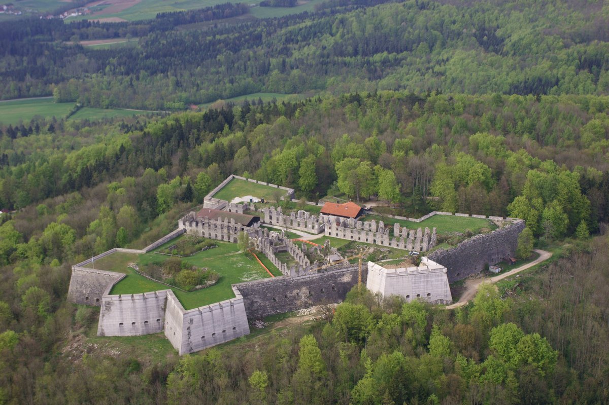
The Schauerberg ruin sits on a hill-like protrusion above Altschauerberg, situated in a beech forest high above the market town of Emskirchen. The site is located at an elevation of 370 m ü. NHN, and the Aurach-Weg and Rangau-Querweg long-distance hiking trails run along the ruins.
The physical layout - a main castle secured by a wall-ditch system and a southern forecastle - suggests the structure might have originated as a tower castle or a motte from the 9th to 12th centuries. While such designs were common in Southern Germany during the Ottonian era, the main castle here is too large for a typical hill-motte concept. A precise dating of the facility on the Schauerberg remains unknown.
By the 14th century, the site gained a more official identity. Records from 1361 list it as Ze Schaurberg under der Puerg, suggesting it served as an administrative castle for the Burgraves of Nuremberg. However, since these administrative houses were usually built within the towns themselves, it is possible that the castle and the administrative house were actually two separate facilities.
In 1377, the site took on a clandestine purpose. After raiding the citizens of Rothenburg ob der Tauber, the robber knight Eppelein von Gailingen sought refuge here. He found shelter with Heinrich von Seckendorff, the keeper of the castle for the Nuremberg Burgrave. Seckendorff was a distant relative of the outlaw he was shielding.
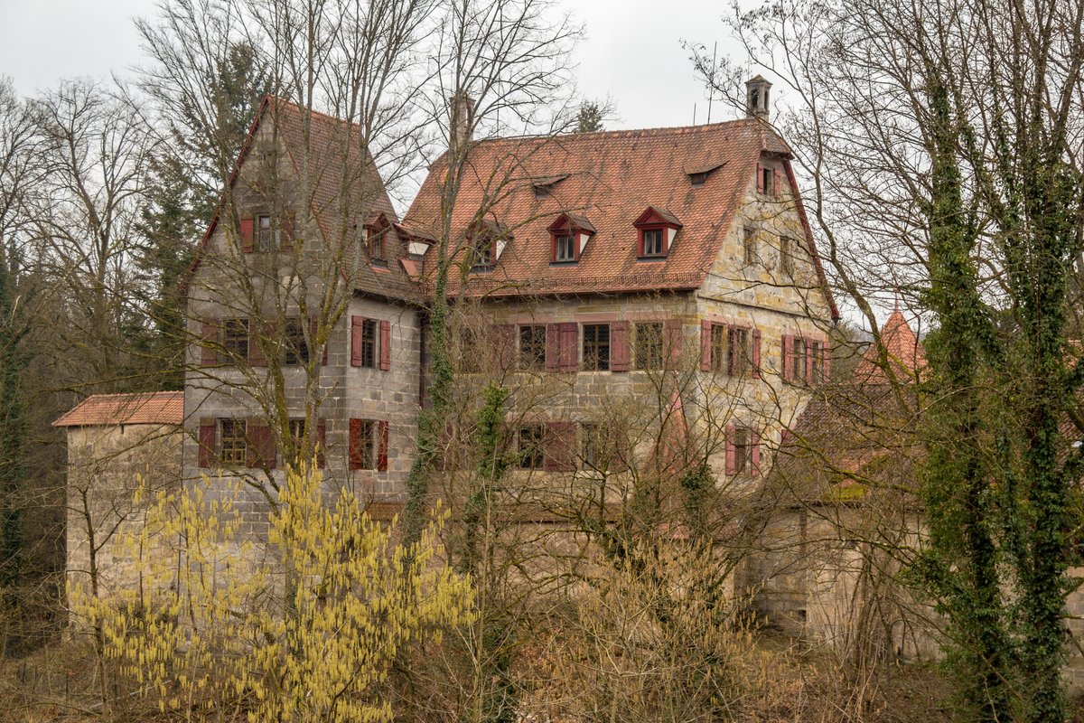
This era of sanctuary ended in 1388. During the City War, the Imperial City of Nuremberg destroyed the fortification. By the 16th century, the stones were no longer a defense but a commodity, as the ruin was used as a quarry. Today, only a wall fragment of the main castle and a U-shaped moat remain on the mountain.
Sources: Wikipedia, OpenStreetMap, Wikidata, Wikimedia Commons
Written by Aurora
Discuss this with the author and others
No comments yet. Be the first to start the conversation.