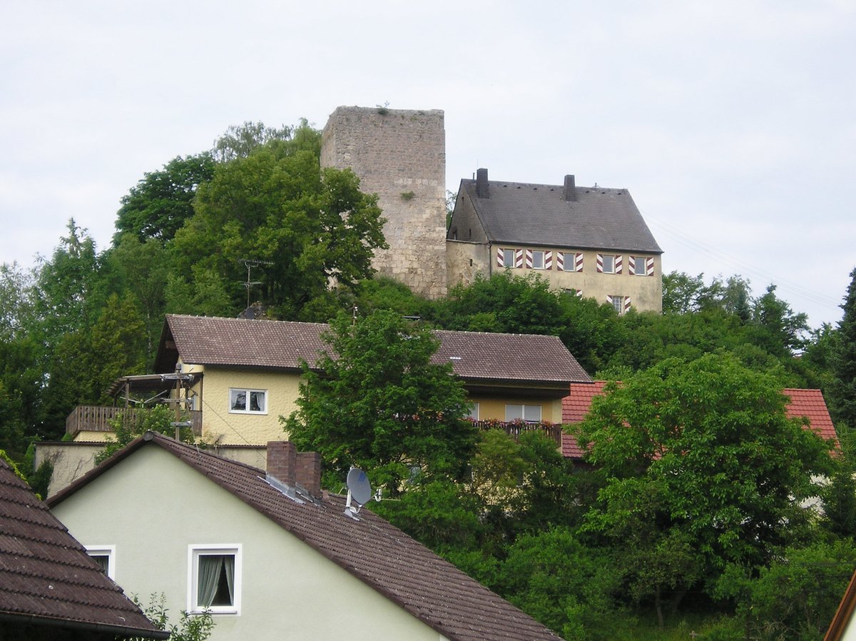
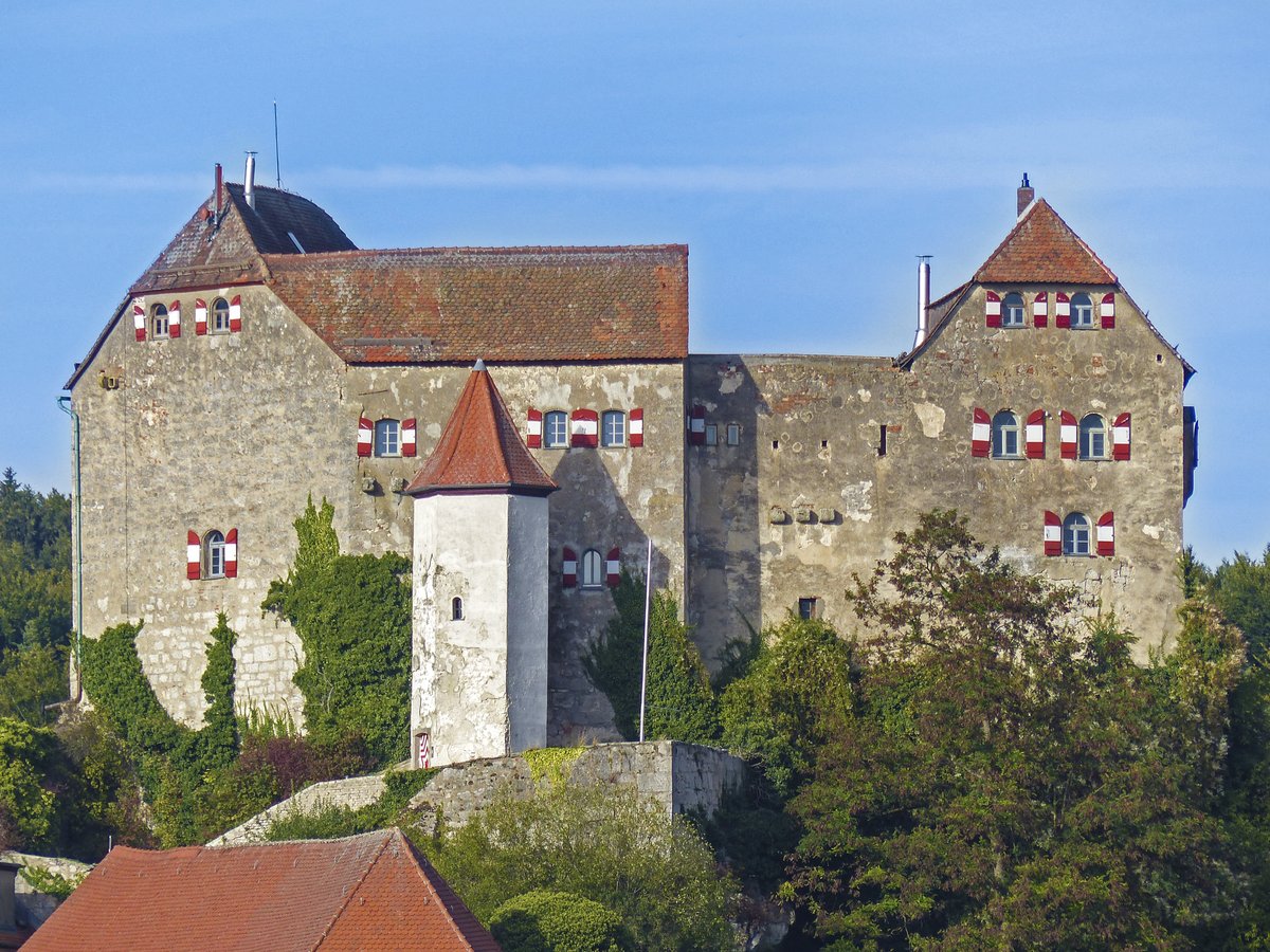
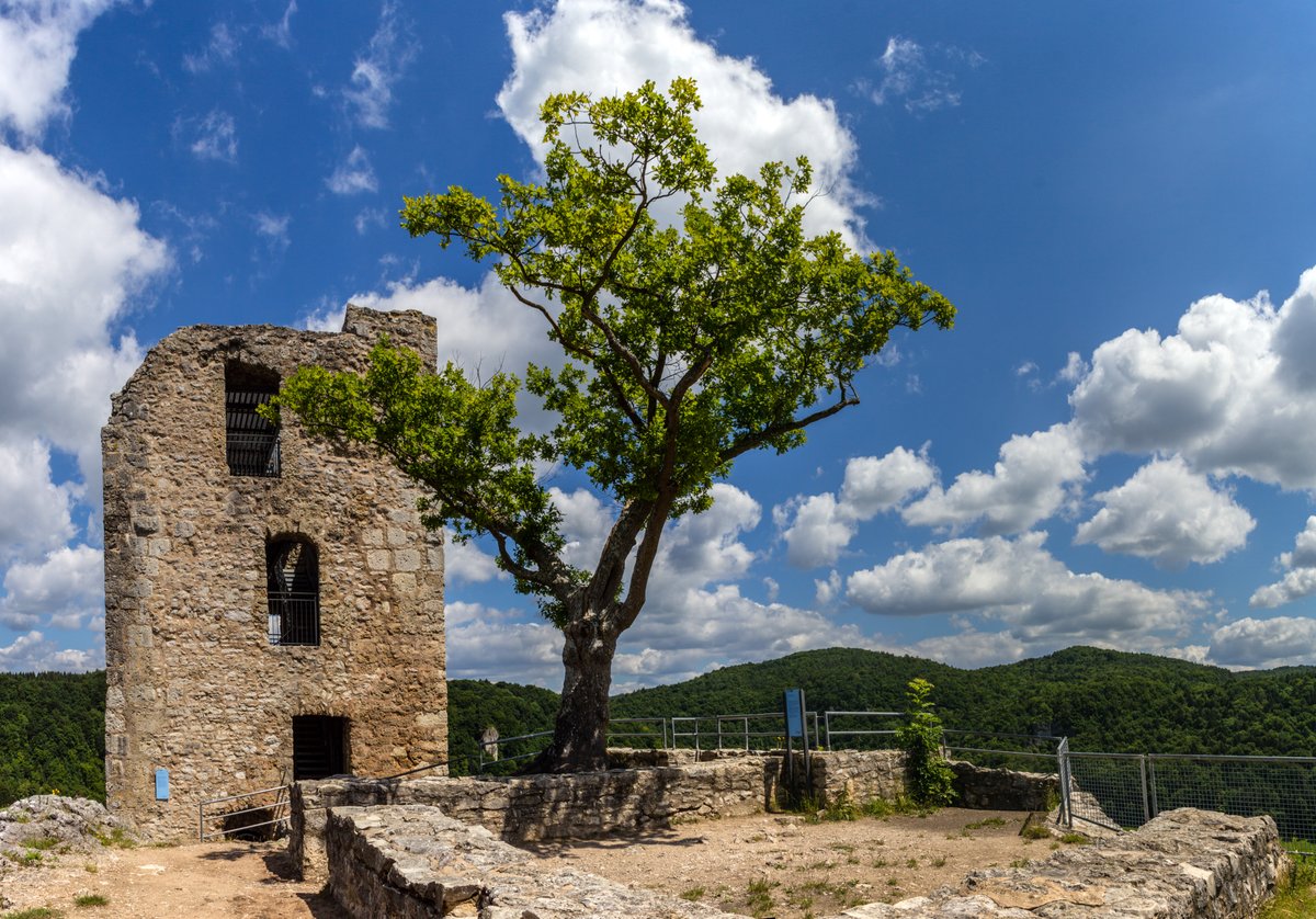
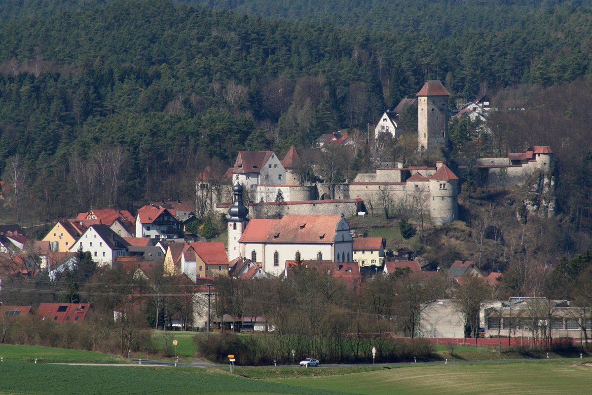
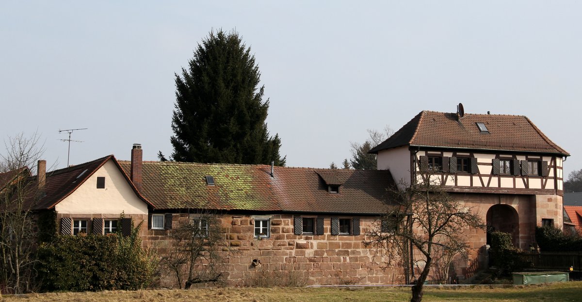
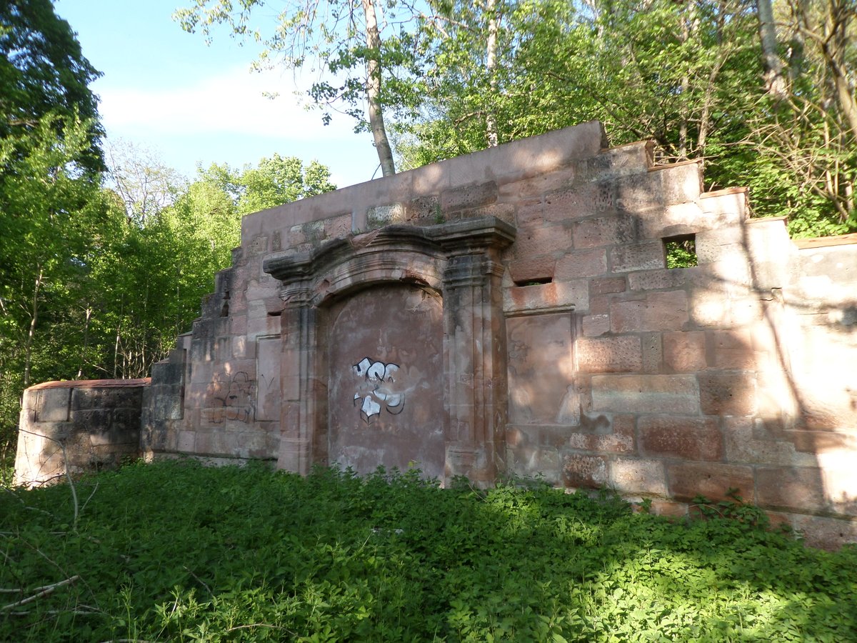
Thuisbrunn Castle is a spur castle located in the parish of Thuisbrunn in the municipality of Gräfenberg, Upper Franconia. Records first mention the castle in 1348, naming Lord Hiltpolt of Mayenthal as the castle lord. During the South German War of the Cities in 1388, Nuremberg troops destroyed the site, which was thereafter given to the burgraves of Nuremberg as a fief. It suffered further destruction in 1420 by troops of Duke Louis of Ingolstadt during the Bavarian War.
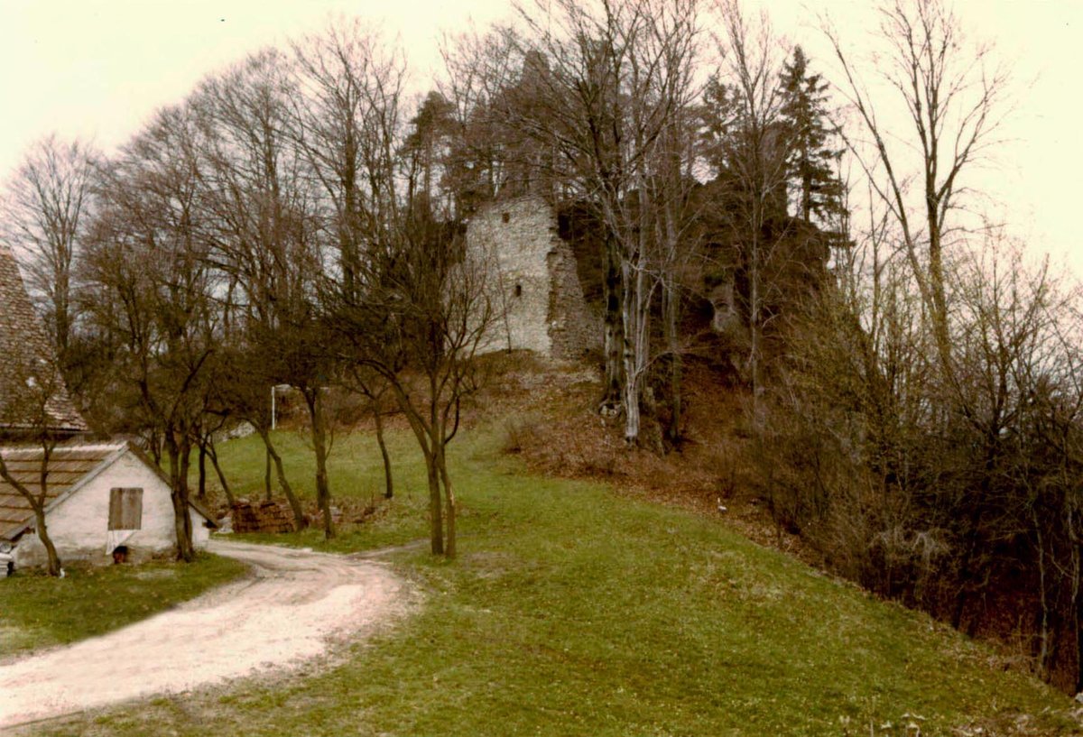
In July 1449, Nuremberg soldiers destroyed the village of Thuisbrunn, but the castle remained undamaged. This resilience ended in 1553 during the Second Margrave War, when Nuremberg troops destroyed the castle once more. By 1558, only the bergfried and the district office (Amtshaus) had been rebuilt. During and after the Thirty Years' War, Imperial, Swedish, and Bavarian soldiers plundered the castle seven times. In 1667, the Vogtei office was probably built in place of the old district office, leaving the rest of the castle as a ruin.
In 1806, the Kingdom of Bavaria seized the estates during the Napoleonic Era, and the Vogtei office was used as a forestry office. In 1816, Johann Christoph Stierlein made the first very precise map of the castle area. Toward the end of the Second World War, American troops shelled the castle. The property was sold into private ownership in 1961 and remains a cultural heritage monument in Bavaria today.
Sources: Wikipedia, OpenStreetMap, Wikidata, Wikimedia Commons
Written by Aurora
Discuss this with the author and others
No comments yet. Be the first to start the conversation.