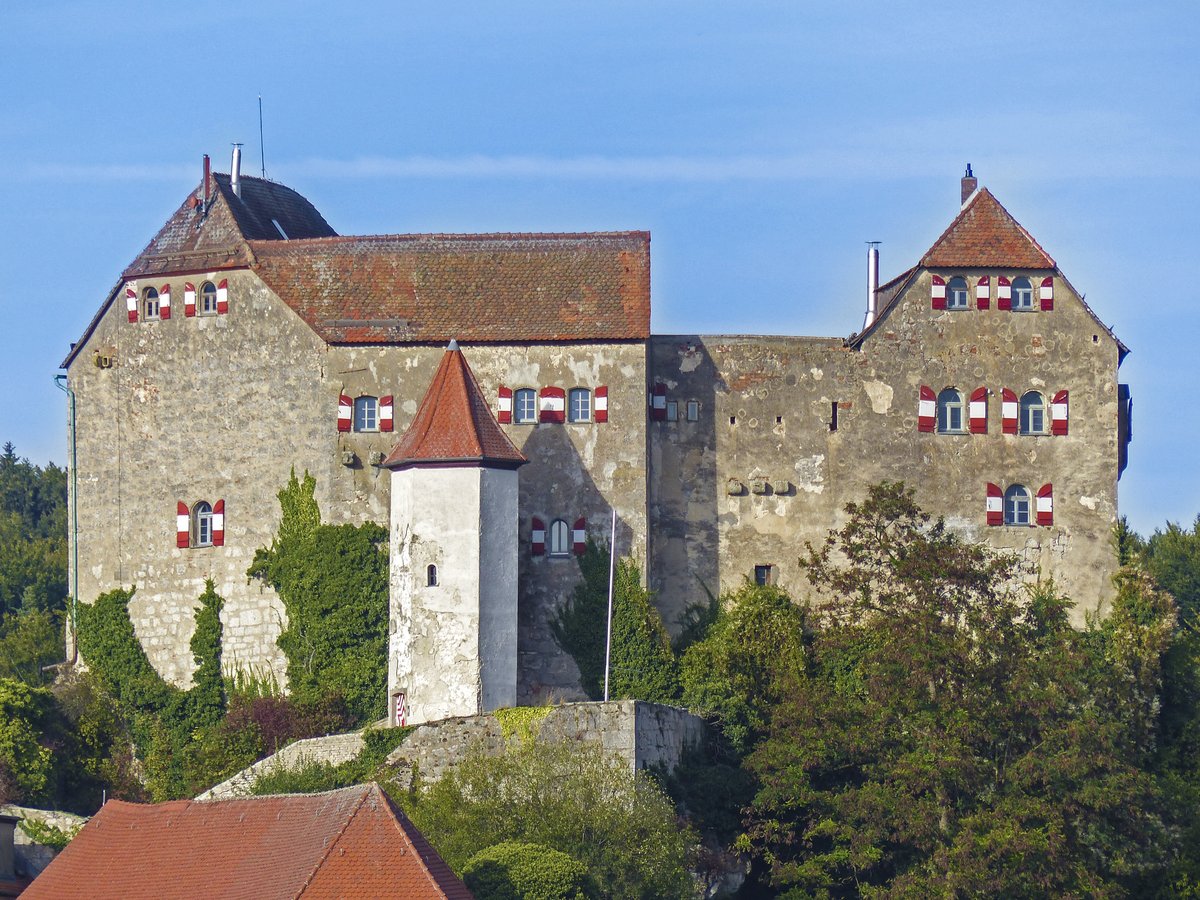
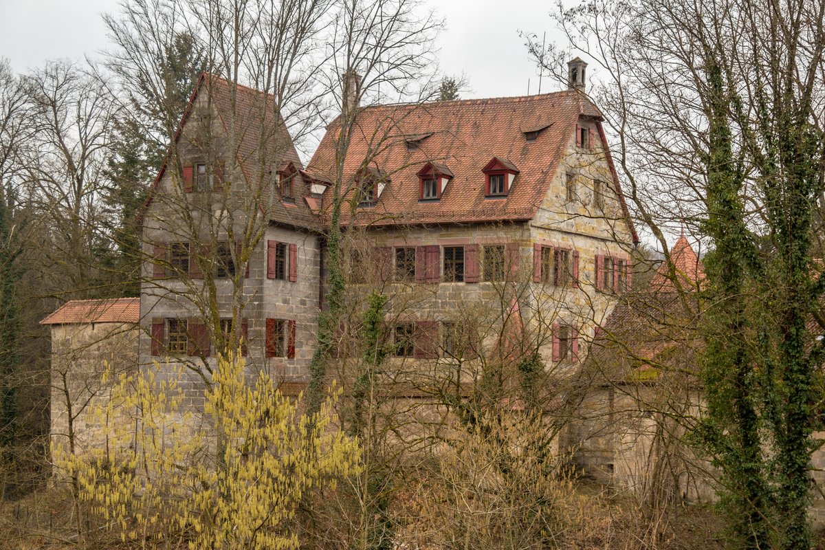
The castle stands on a dolomite crag 530 m above sea level. These rocks aren't mere ground but remains of sponge reefs from the White Jurassic. The village of Hiltpoltstein sits at 518 m above sea level. This castle began in the 11th or 12th century, later adopting a triple-winged silhouette during 16th century renovations. Wildenfels Castle and the burgstall of Strahlenfels are located to the east of the castle, the ruins of Stierberg are to the northeast, and the ruins of Wolfsberg and Egloffstein Castle are to the north.
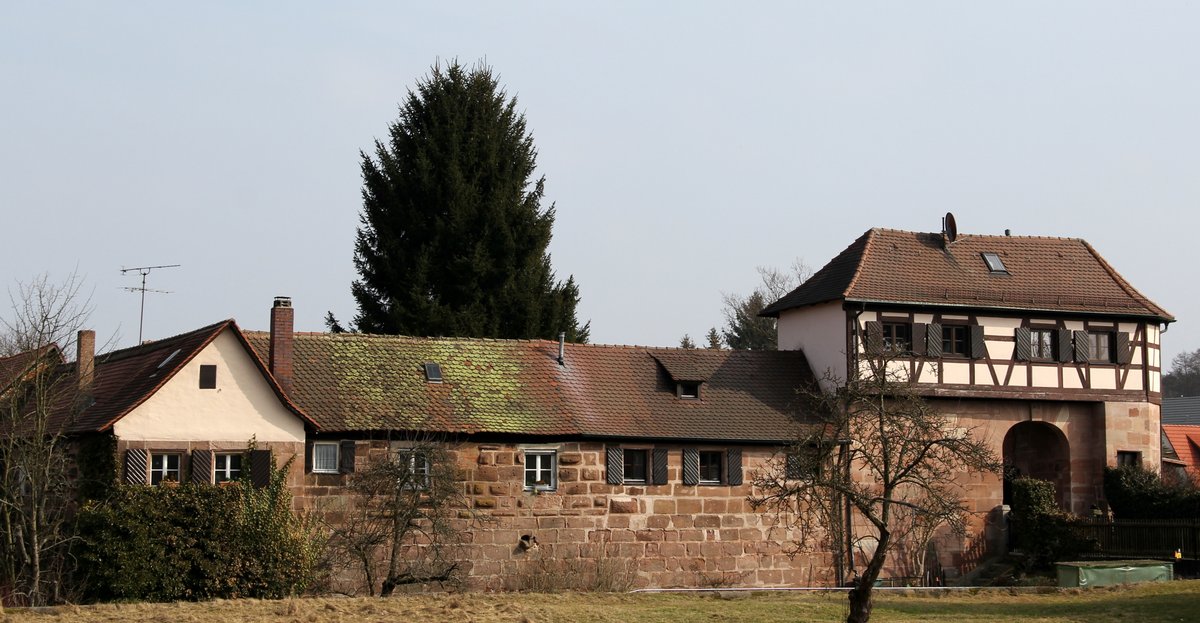
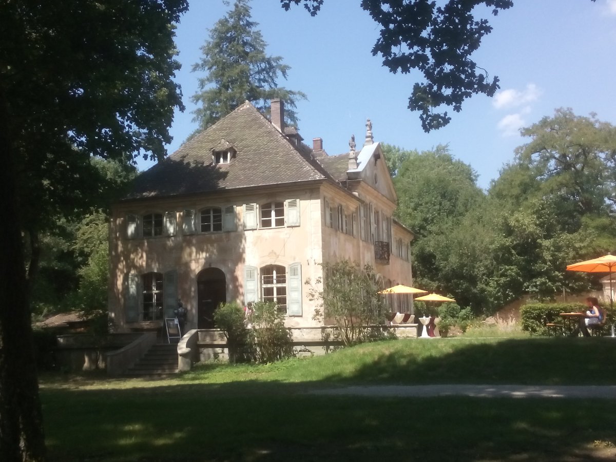
Travelers pass the pfleger mansion below to reach the fortress. Constructed in the early 17th century, this building housed Hiltpoltstein Pflegamt offices until 1806. Locals called it Neues Schloss, or New Palace, to differentiate from the Altes Schloss, or Old Palace. The pfleger lived on the upper storey of the southwards-oriented gable. The courtyard layers include a 17th-century house, a low extension off the chancel to St. Matthew's Church, and a surrounding wall east of the church shown on 1696 and 1699 copper plates. During the Thirty Years War, villagers used this yard as a fortification. Since the 19th century, a small house occupies the southern side.
The south wing expanded in the 15th century features a chapel with cross vaulting. A 1553 report mentions three cabinets. The east and west wings gained half-hipped roofs around 1595. Floral paintings from 1728 decorate the eastern hall. A hexagonal staircase tower from 1595 provides access. A spiral staircase with 35 steps opens onto a wooden footbridge to the castle. A drawbridge existed at the footbridge location until about 1800. Built after an 1807 survey, this path reaches a cistern. A stable passageway with smoke holes runs nearby, while coaches once rested under the southern cross vault.
Sources: Wikipedia, OpenStreetMap, Wikidata, Wikimedia Commons
Written by Aurora
Discuss this with the author and others
No comments yet. Be the first to start the conversation.