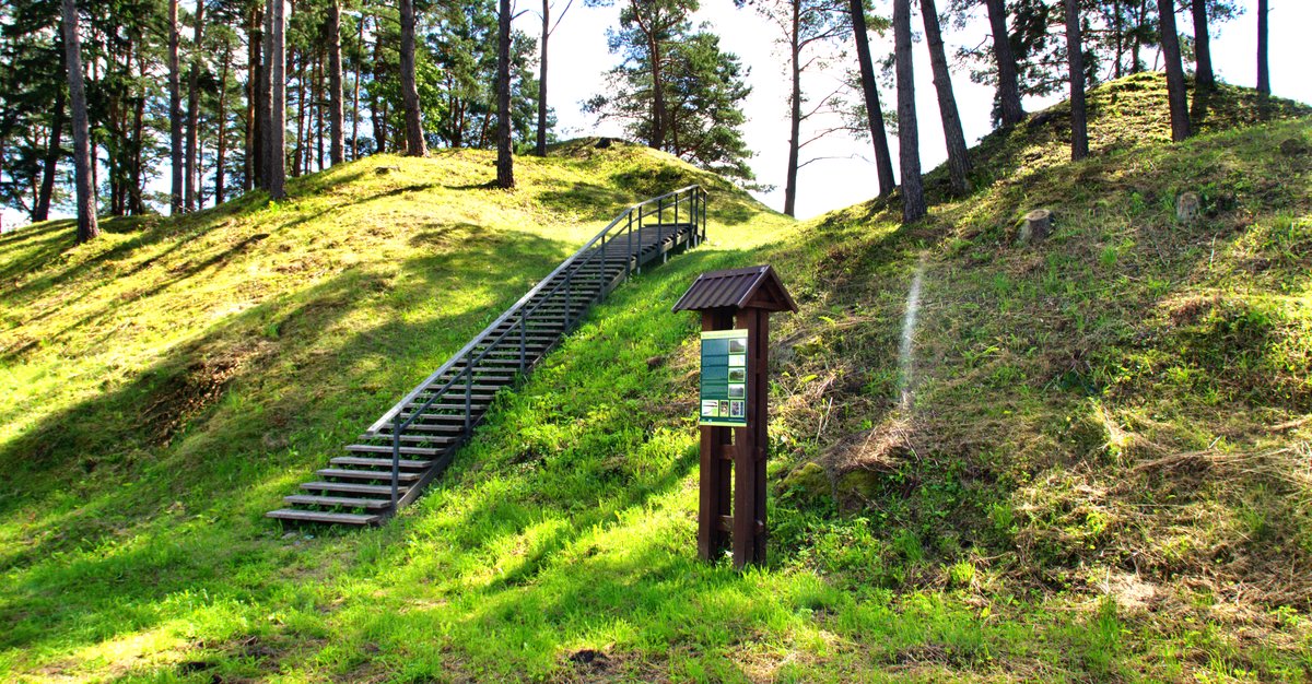

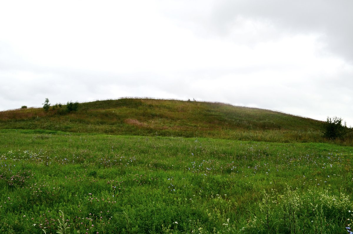
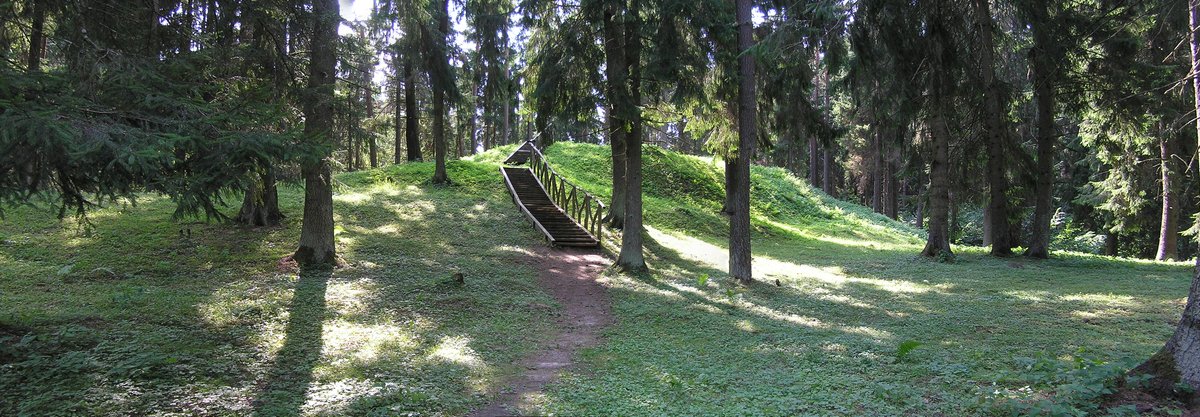
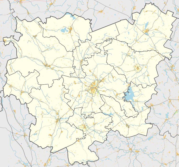
The Buteikių hillfort and settlement is located in the Anykščių district municipality, near the village of Buteikių, about 0.1 km north of the Kurkliai - Kurkleliai road. The site is situated on the right bank of the Nevėža river, at the eastern end of a long, narrow ridge. The slopes of the hillfort reach a height of 13 metres, and it is bounded by the Nevėža valley to the east and south, and a marshy area to the north.
The hillfort was destroyed during World War I, when trenches were dug into the courtyard and slopes in 1915. The western part of the courtyard is separated from the adjacent height by three ramparts reaching heights of 2.5, 4.5, and 4.5 metres, along with three dug ditches with depths of 5.5, 3.0, and 2.5 metres. It is estimated that the courtyard was about 50 metres long and 15 - 20 metres wide, and with the fortifications, it occupied a 120-metre section of the ridge.
Archaeological exploration of the hillfort began in 1942 by Petras Tarasenka, followed by research by the Institute of Lithuanian History in 1969. Remnants of cultural layers were found in the courtyard and the southern slope, while the eastern part yielded iron slag and ceramics with smooth, striated, and rough surfaces. The hillfort dates back to the 1st millennium.
Sources: Wikipedia, OpenStreetMap, Wikidata, Wikimedia Commons
Written by Nicolo Ciampini
Discuss this with the author and others
No comments yet. Be the first to start the conversation.