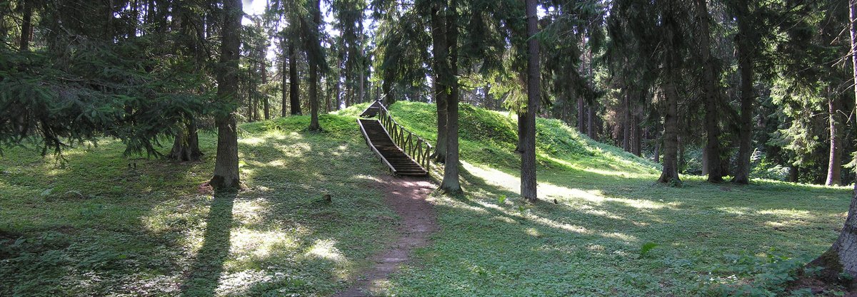
Liudiškiai hillfort, located in Anykščiai seniūnija, just 0.5 kilometers southwest of Liudiškiai, has a long history dating back to the Iron Age. Archaeological findings were made at the hillfort in 1990 and 1991, and the research was conducted by the State Archaeology Commission of Lithuania. Gintautas Zabiela was involved in the research. The findings were published in 1992. The hillfort, contrary to its official name, is actually a complex site, consisting of both a hillfort (registered under Lietuvos Respublikos kultūros paminklų sąrašo Nr.
AR1884 and registro iki 1953 m. balandžio 19 d. Nr. A1414K) and a settlement (registered under Lietuvos Respublikos kultūros paminklų sąrašo Nr. 24540) surrounding Liudiškiai-Molėtai road. Intensive archaeological findings were discovered in the hillfort's eastern slope, and piles of stone and remains of walls can be seen in the hillfort. The hillfort is located on the highest point of the Aruodas hills massif. The hillfort is surrounded by a natural ditch from the north, a natural rise to the west, and a natural drop to the southeast.
The hillfort's heights range from 7-17 meters. There is an oval and long-oval area with two crypts measuring 23x18 meters in the hillfort's summit. In the summit, there is a 10 meter-long and 5 meter-wide terrace, sloping towards the west, remnants of the old fortifications. There is a 3 meter-wide and 1 meter-high stone slab in the hillfort’s northern slope. In the hillfort’s western slope, there is a 20 meter-wide and 2.5 meter-high natural slope.
Sources: Wikipedia, OpenStreetMap, Wikidata, Wikimedia Commons
Written by Nicolo Ciampini
Discuss this with the author and others
No comments yet. Be the first to start the conversation.