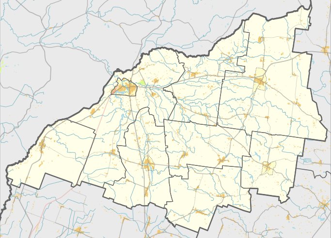

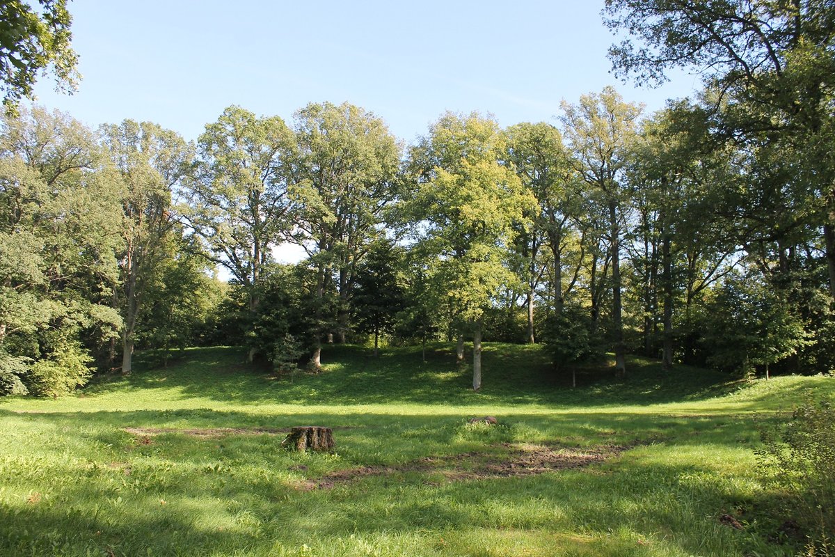
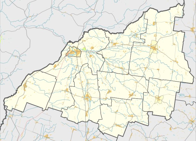
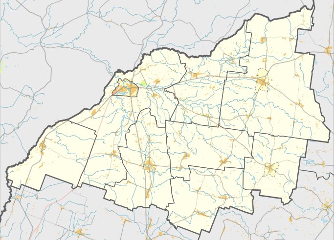
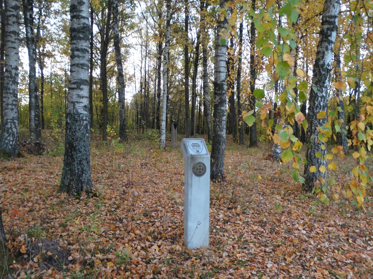
Užluobės piliakalnis, known also as Šarkė or Pilis, is a hillfort located on a high plateau on the right bank of a valley. The site is reached by traveling from Skuodas to Užluobė, then taking a small turn to the right and turning left through meadows towards the north-east for 300 meters to a birch grove.
The fort features an oval-shaped enclosure, 50 by 40 meters in size, oriented east to west. On the south-southwest edge, there is an arc-shaped embankment that is 70 meters long, 0.5 meters high, and 15 meters wide. Coal has been found within this embankment. The outer slope of the embankment descends into a 14-meter-wide ditch, behind which lies a second embankment, 0.3 meters high and 14 meters wide. A third ditch, approximately 10 meters wide, was located in the north-west part but is now a ruin.
Sources: Wikipedia, OpenStreetMap, Wikidata, Wikimedia Commons


Written by Nicolo Ciampini
Discuss this with the author and others
No comments yet. Be the first to start the conversation.