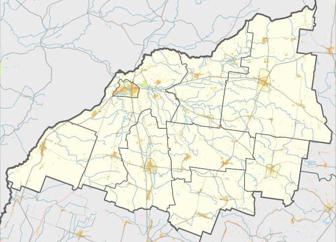

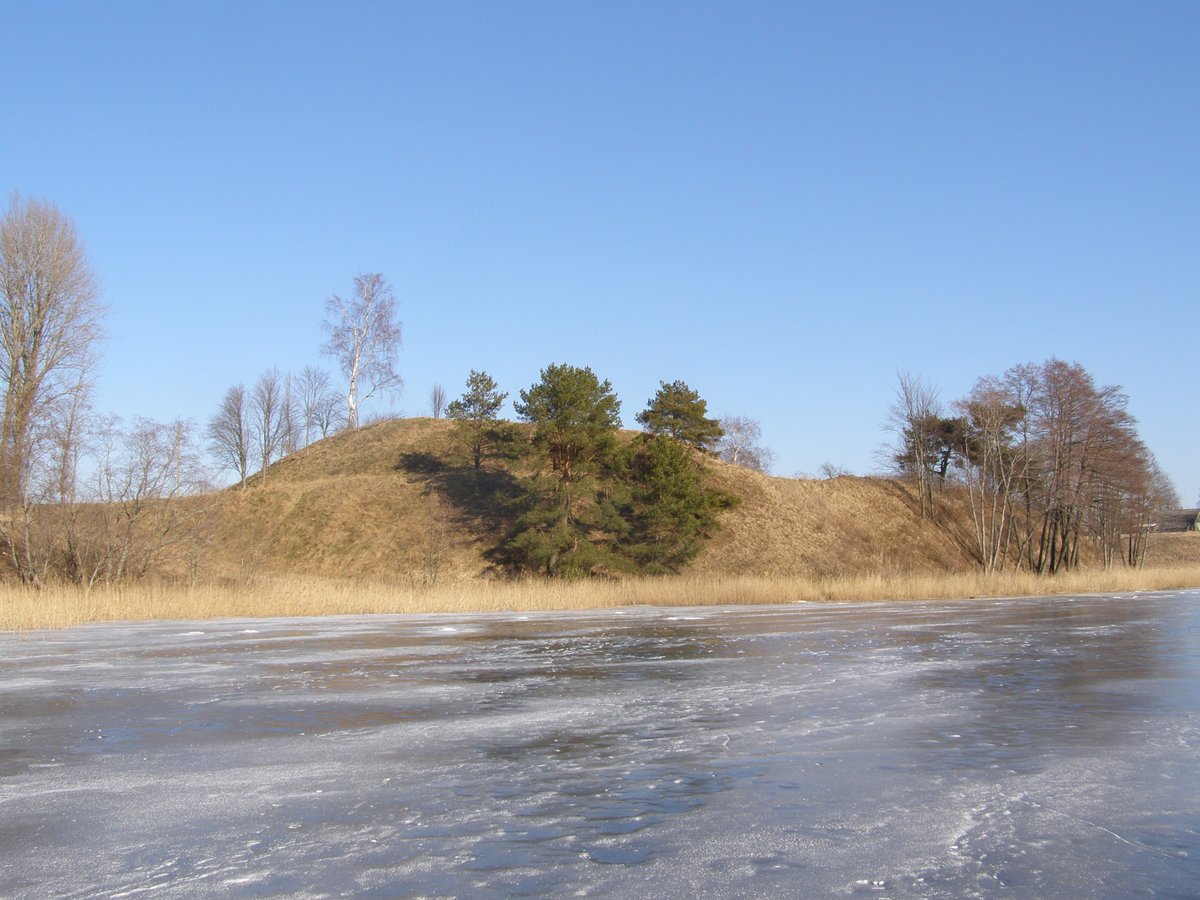
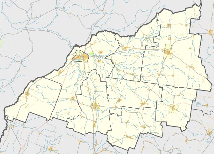
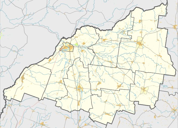
Kalvių piliakalnis, also known as Pilalė, is a hillfort located in the Skuodas district municipality, near the Lenkimai settlement in the Lenkimai eldership. It is situated on the left bank of the Šventoji river, reachable from the Lenkimai - Kalviai road by crossing the river for 400 meters and turning right toward the south.
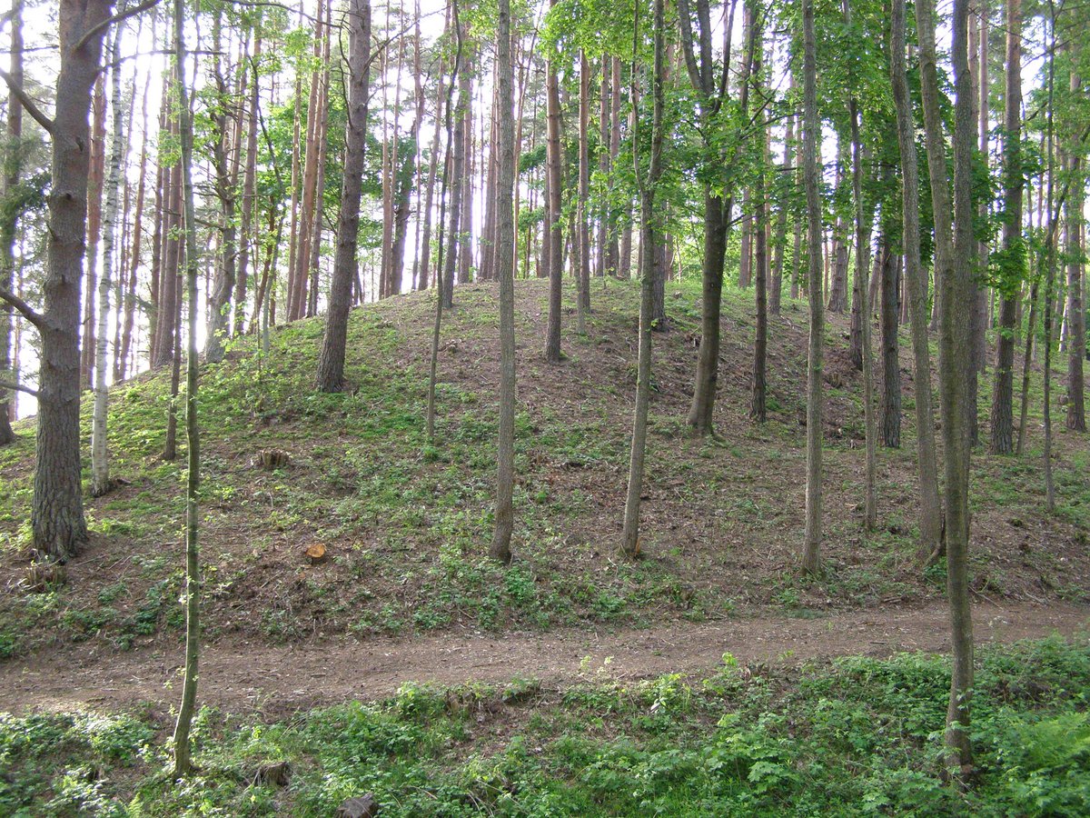
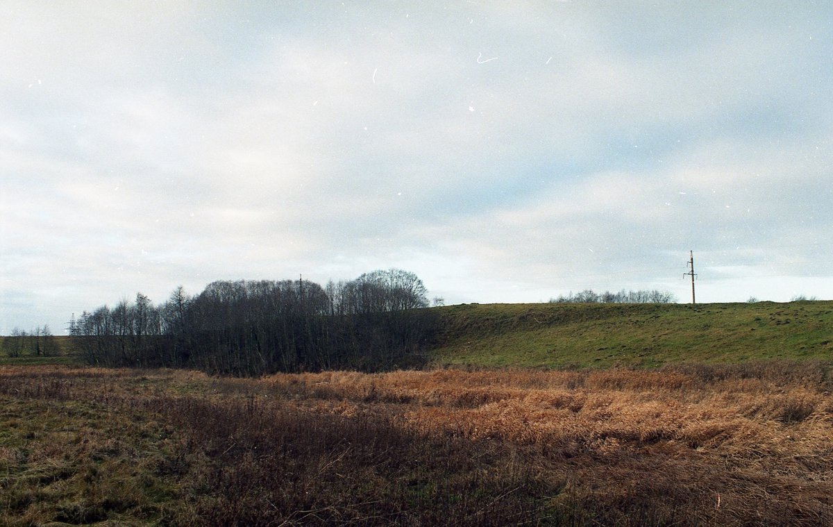
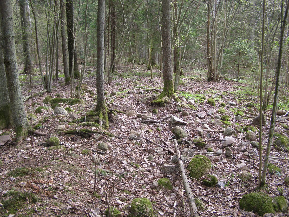
The hillfort is situated on the edge of a hill. The site features a triangular-shaped clearing with a curved edge extending 58 meters in the north-south direction. It contains a curved rampart 102 meters long and 1 meter high, which is 50 meters wide on its northern, southern, and western sides. During excavations, a 3-meter-wide, 1.5-meter-deep groove was discovered on the outer side of this rampart. Behind the groove, a second rampart 4 meters wide and 0.2 meters high was found, along with another 4-meter-wide groove that is 0.5 meters deep, with its remains visible on the southeastern slope.
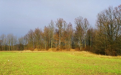
The hillfort is heavily fortified with stakes and features a wooden sculpture in the clearing. It is surrounded by spruce and birch trees, with the surrounding area cleared. The site dates back to the 13th century.
Preliminary archaeological research on the hillfort was conducted by the Institute of Lithuanian History in 1966. In 1988, Gintautas Zabiela made a cut of the outer slope of the rampart, totaling 8 square meters, to determine that the rampart was filled in one go with clay and that the groove on the outside was slid along it.
Sources: Wikipedia, OpenStreetMap, Wikidata, Wikimedia Commons

Written by Nicolo Ciampini
Discuss this with the author and others
No comments yet. Be the first to start the conversation.