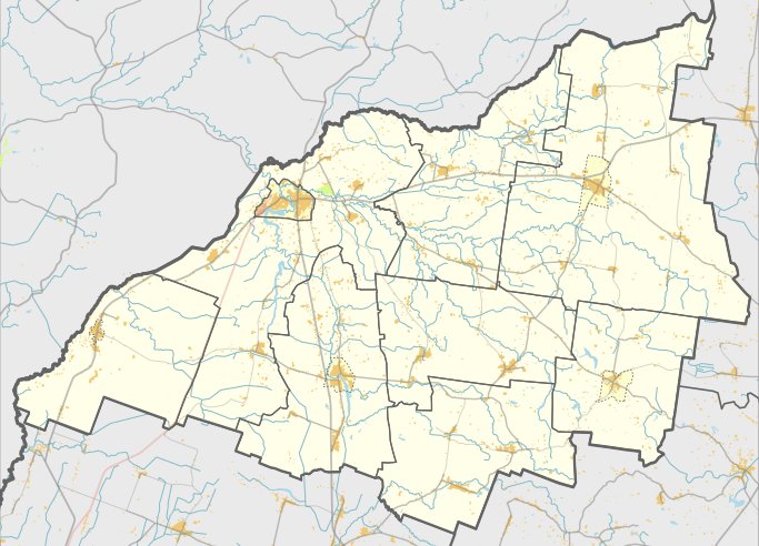

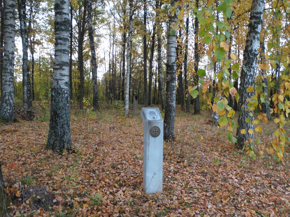
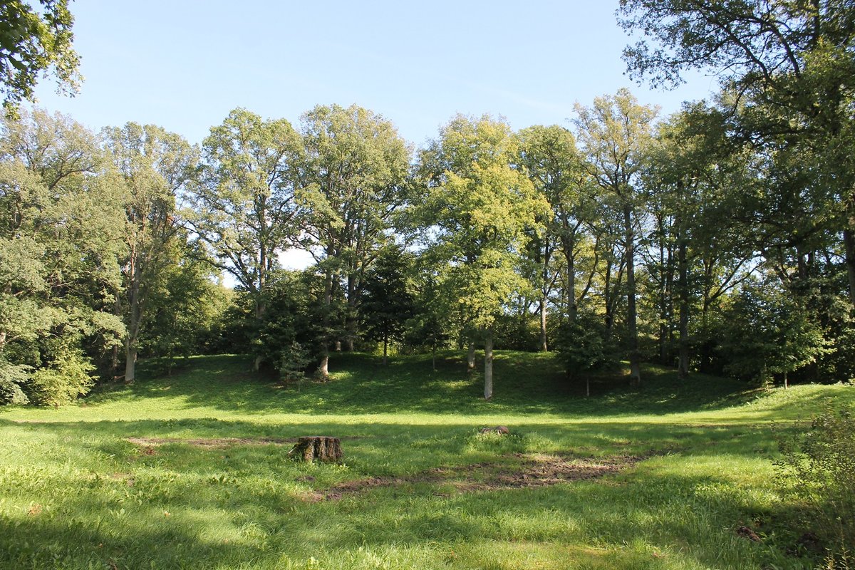
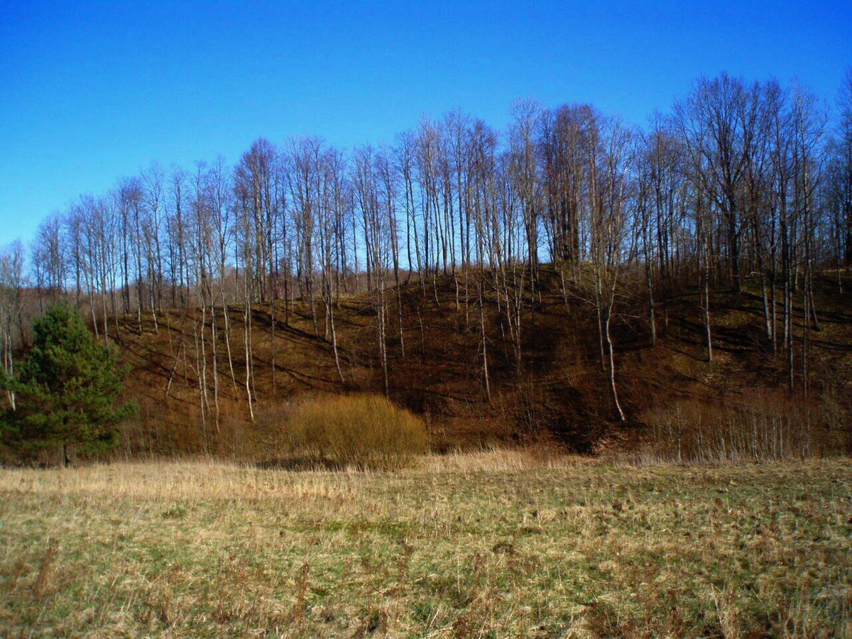
The hillfort at Girdenių piliakalnis sits on the right bank of the Vereta river, where the ground rises about 4 meters high. It consists of a long, oval clearing - roughly 45 meters long and 35 meters wide - that has hosted human activity since the first millennium BC.
In 1930, a farmer tilling the soil found a stone axe. The axe was not preserved. The site also features a 40-meter-long rampart that once protected a defensive moat.
During land reclamation in the 1970s, almost the entire clearing and its defensive works were destroyed. Most of the site is now overgrown with nettles.
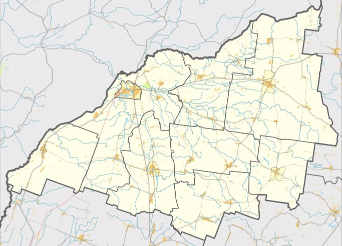
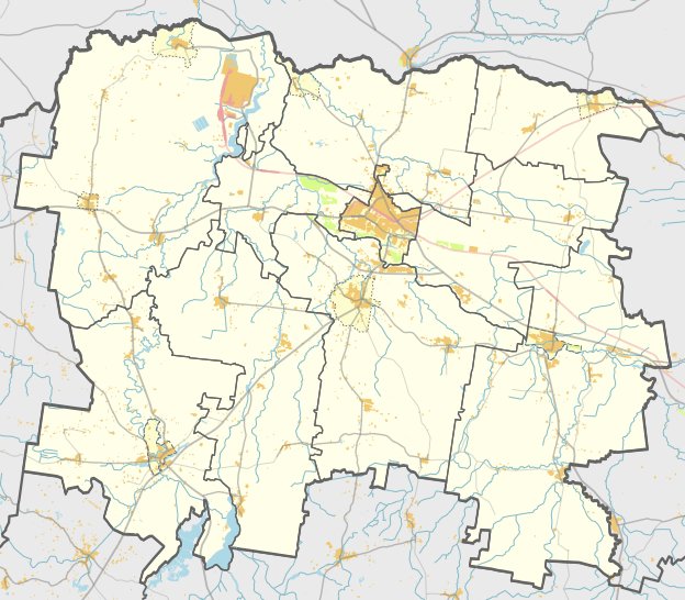
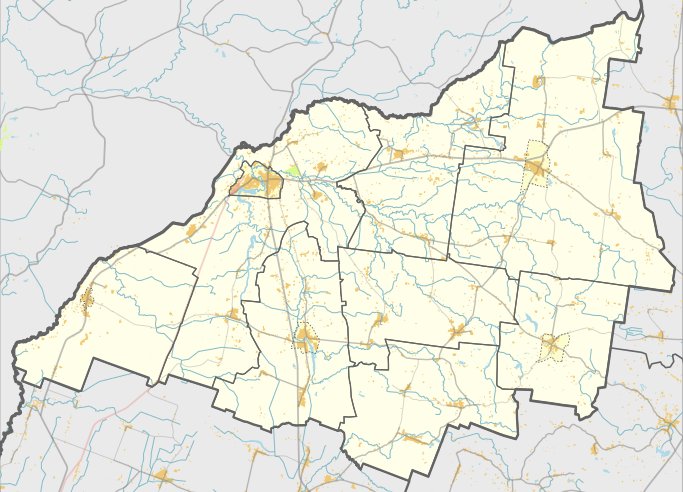
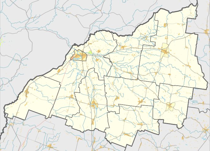
Records from 1253 mention a castle in the nearby Gėsalai area, which is localized at this hillfort. The site is located in the Skuodo district near the village of Girdeniai.
Sources: Wikipedia, OpenStreetMap, Wikidata, Wikimedia Commons

Written by Nicolo Ciampini
Discuss this with the author and others
No comments yet. Be the first to start the conversation.