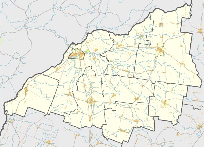

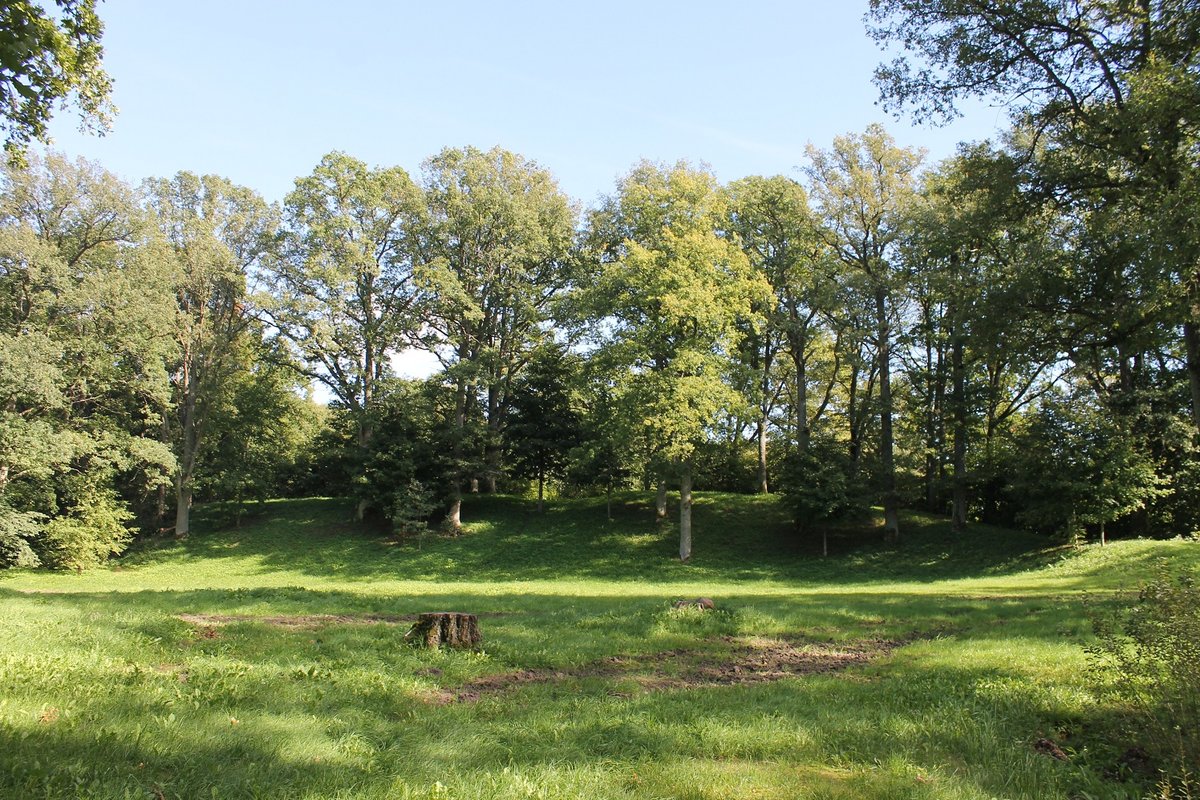
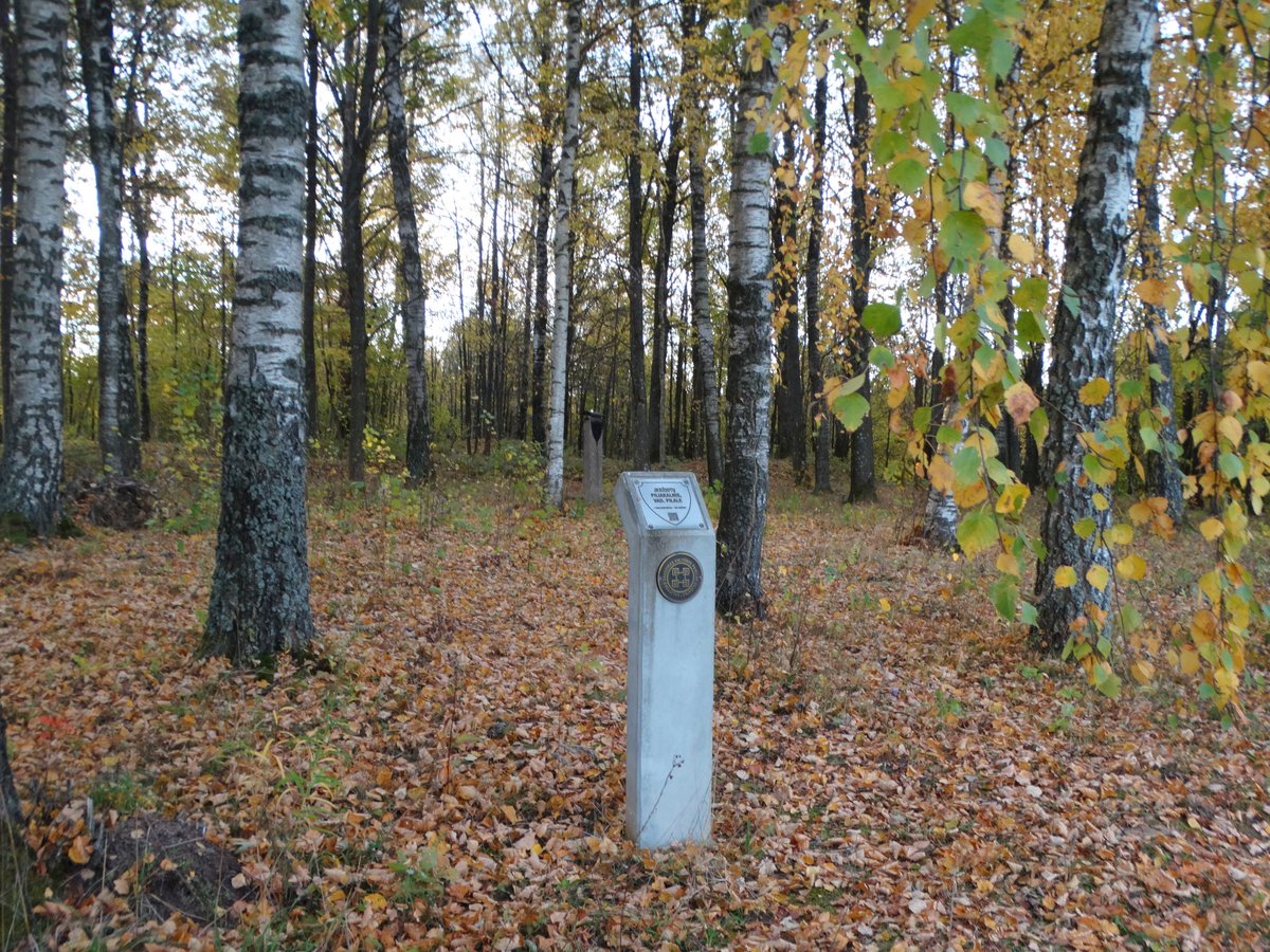
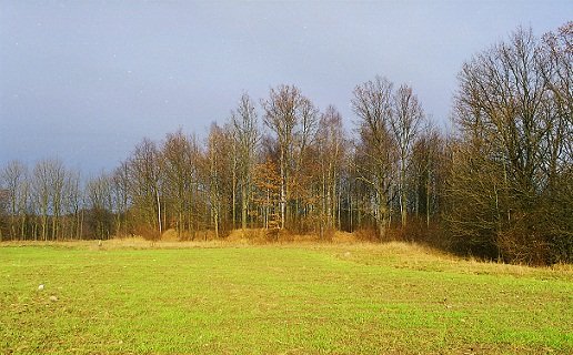
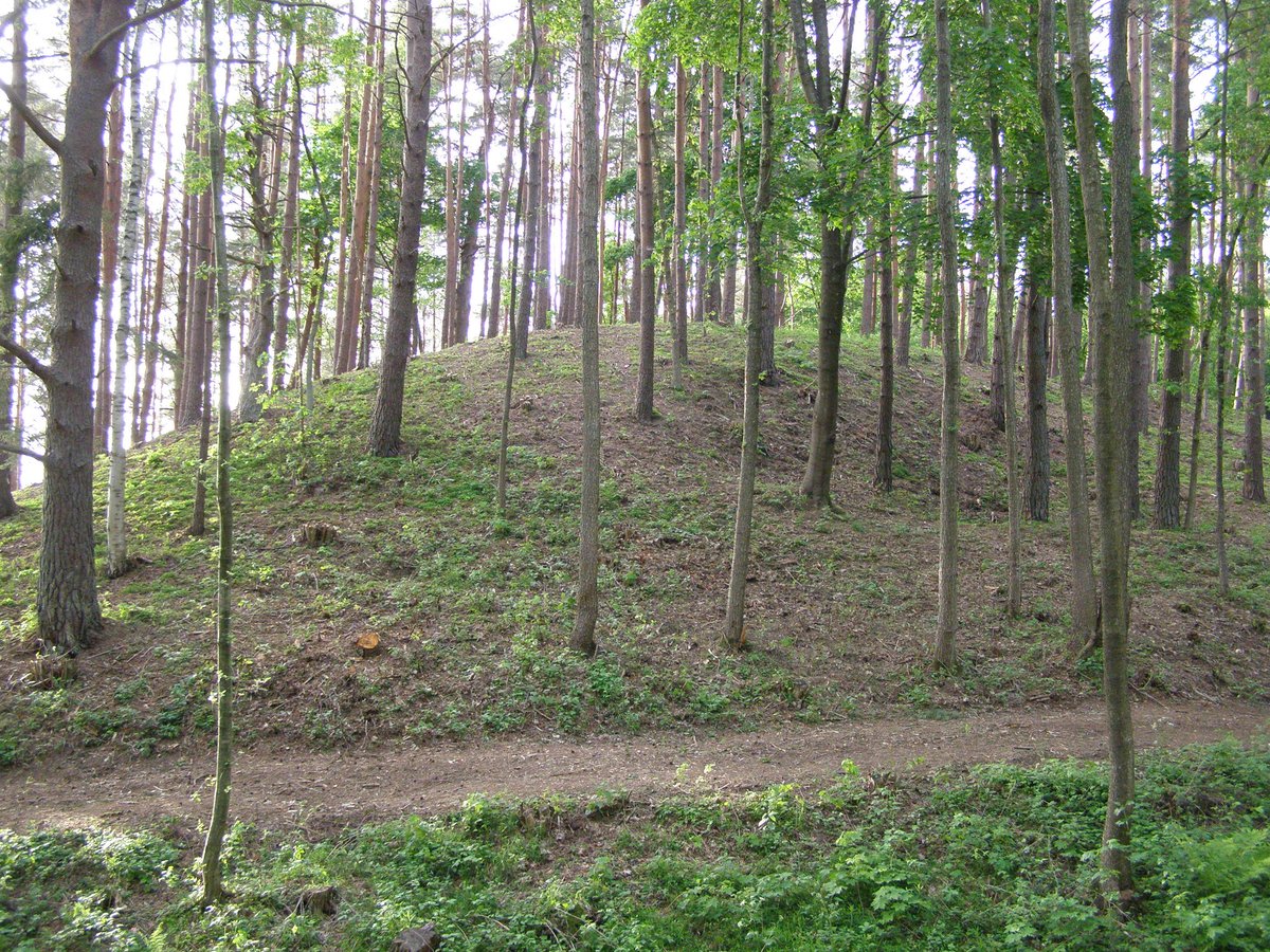
Kubiliškės piliakalnis sits at the confluence of the Bartuvos and Opalio rivers in a coastal bay. Dating back to the beginning of the second millennium, the site features a triangular main area measuring 28 meters long and 35 meters wide, oriented toward the southwest. It is protected by a curved rampart that stretches 35 meters long.
Further northwest lies the outer defense, a trapezoidal area measuring 18 meters long and 70 meters wide. This section features a 70-meter-long rampart, 1.7 meters high, and a 23-meter-wide rampart behind which is a 100-meter-long sunken ditch. A second ditch, 2.5 meters deep and 8 meters wide, is located behind another 0.3-meter-high rampart.
To the west of the cemetery on the high ground, another mound called Pilale stood until the early 20th century when it was destroyed for gravel. The site is situated in an area where the rivers have eroded the edges of the ramparts. Nearby, on a one-hectare plot to the northwest, lies a settlement on post-holes.
Sources: Wikipedia, OpenStreetMap, Wikidata, Wikimedia Commons

Written by Nicolo Ciampini
Discuss this with the author and others
No comments yet. Be the first to start the conversation.