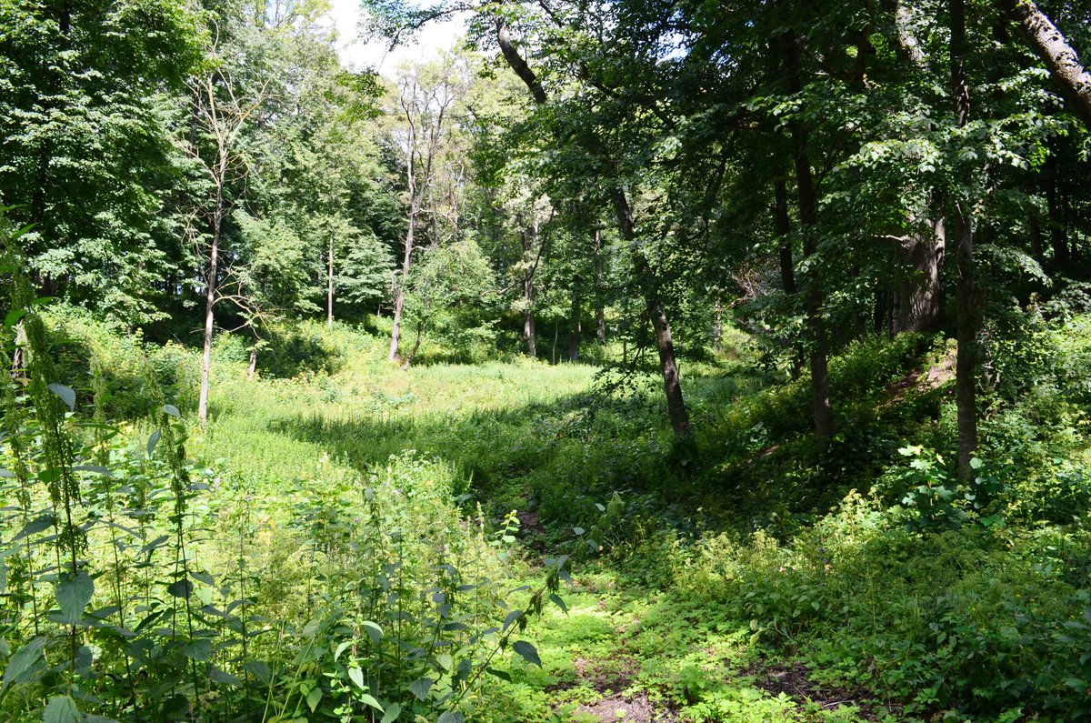
The Upyte Hillfort, known as Čičinsko Kalnas and Tarnagalos, is situated in the Panevėžio rajono savivaldybės territory, near Upyte, in Upyte seniūnija. To reach it, head west from the 195 Kėdainiai–Krekenava–Panevėžys road, pass Vešeta, then veer 50 meters towards the old center's left side. Follow the first settlement ditch for 100 meters, leading to the left bank of the Šiaurėn tiltas along Uostrautos upelis. The hillfort mound measures 40x18 meters in diameter and stands 1 meter above the ground.
A stone slipway, 1.2 meters high, leads to an 8 meter wide, 17 meter long platform, with a 4 meter high staircase providing access to a 8 meter wide, 1.5 meter high terrace. Another staircase, 0.3 meters high, leads to the 6 meter wide, 14 meter long platform, with a 14 meter wide, 2.5 meter high terrace above. The final stone slabs on the platform are destroyed, with the old center mostly destroyed by bulldozer. The platform on the old center has a larger opening.
Sources: Wikipedia, OpenStreetMap, Wikidata, Wikimedia Commons
Written by Nicolo Ciampini
Discuss this with the author and others
No comments yet. Be the first to start the conversation.