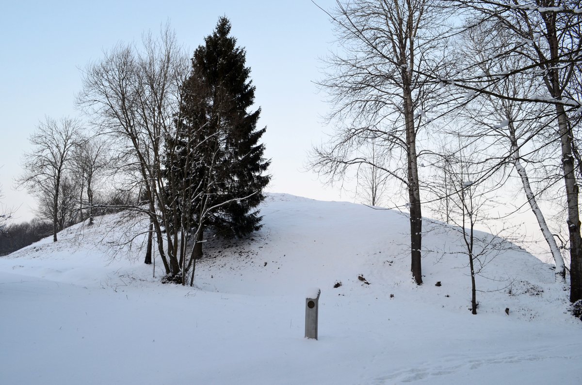

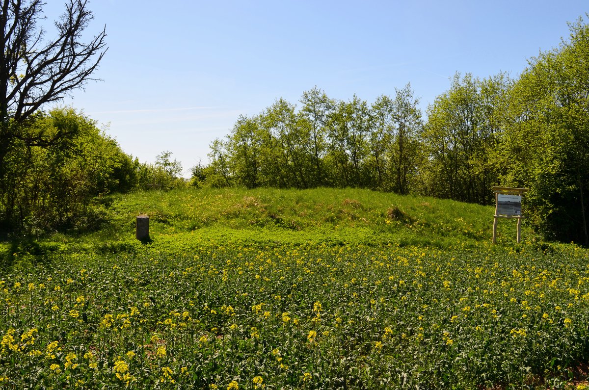
In the Kėdainiai district municipality, located east of Kalnaberžės in the Surviliškis eldership, sits the Kalnaberžės hillfort with a settlement. This archaeological site is reached via route 195 Kėdainiai–Krekenava–Panevėžys. From Kalnaberžė, travelers pass a canal, turn right toward the east, and after 900 meters, cross two canals and a stream. Turning right again toward the south past the yard and driving 450 meters leads to the site, which is situated in a corner of a field.
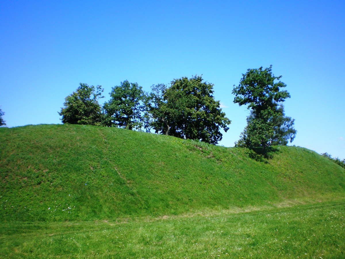
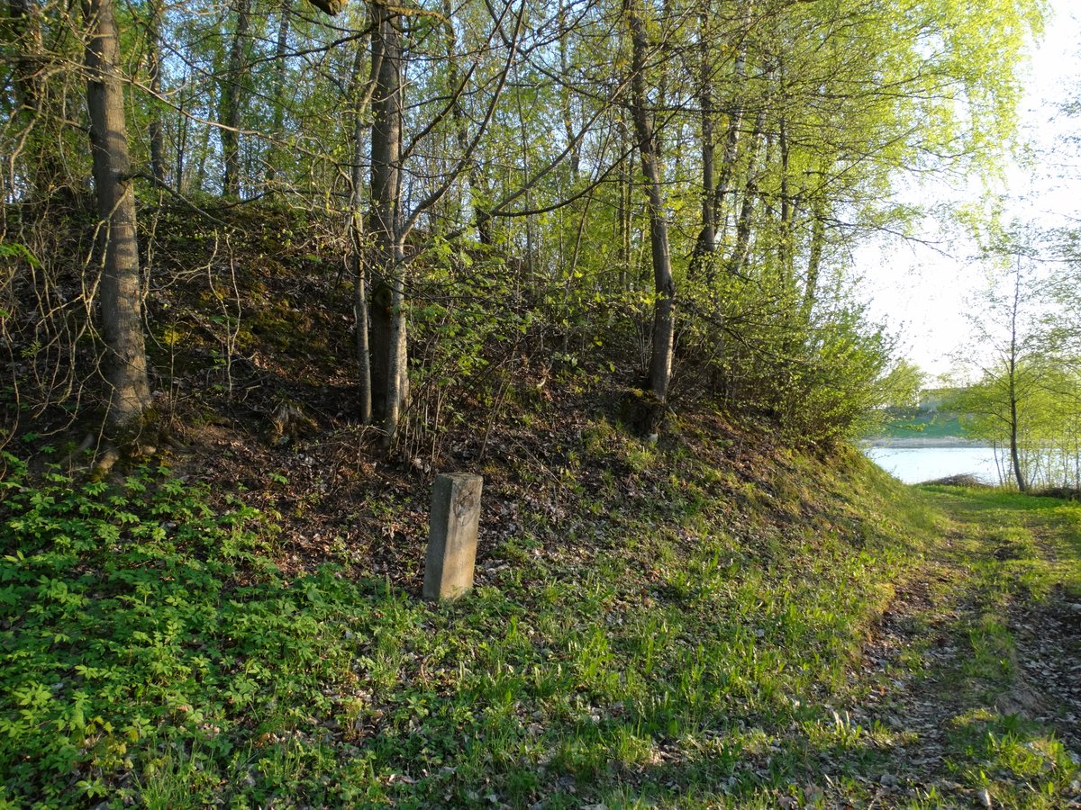
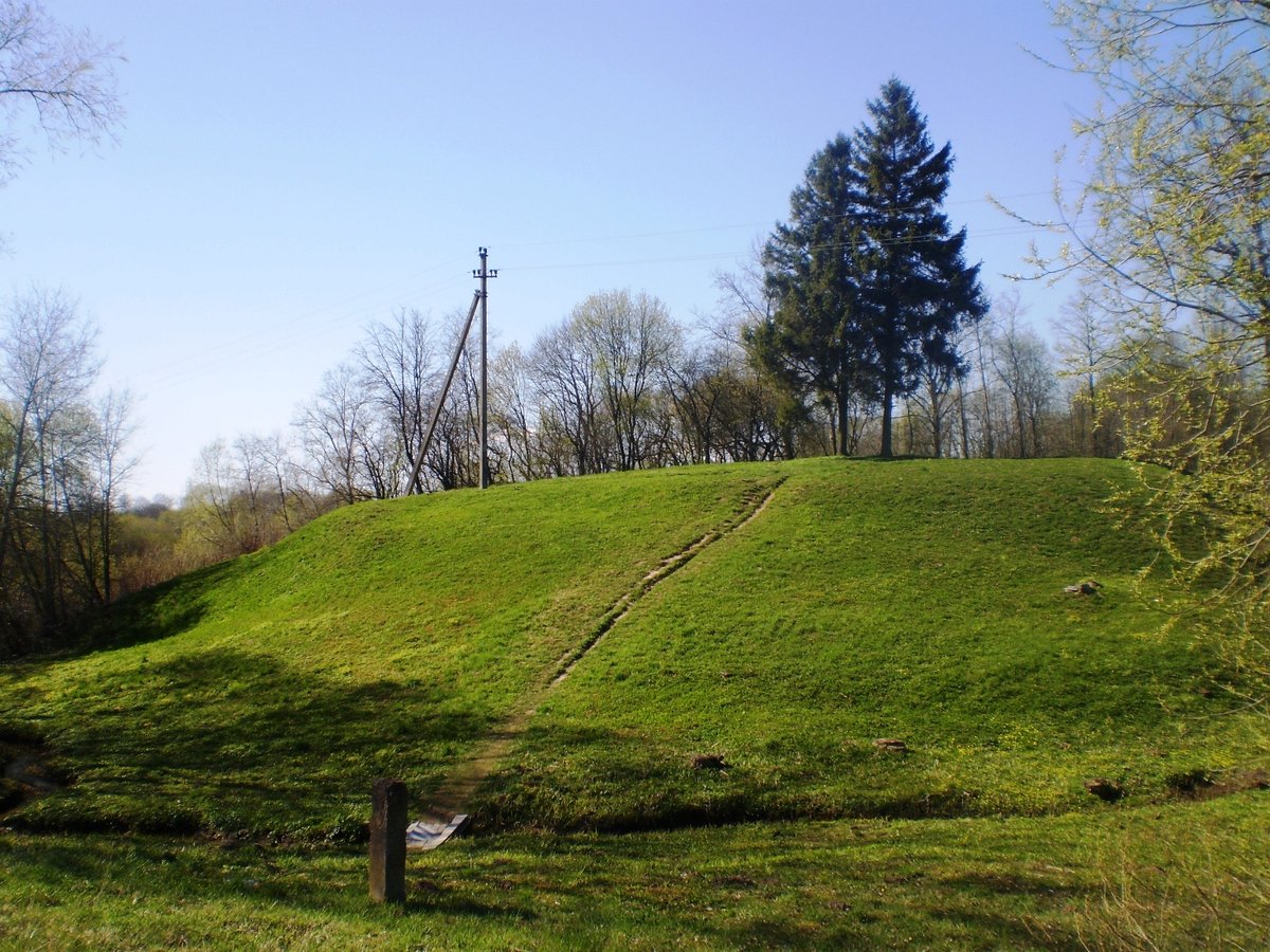
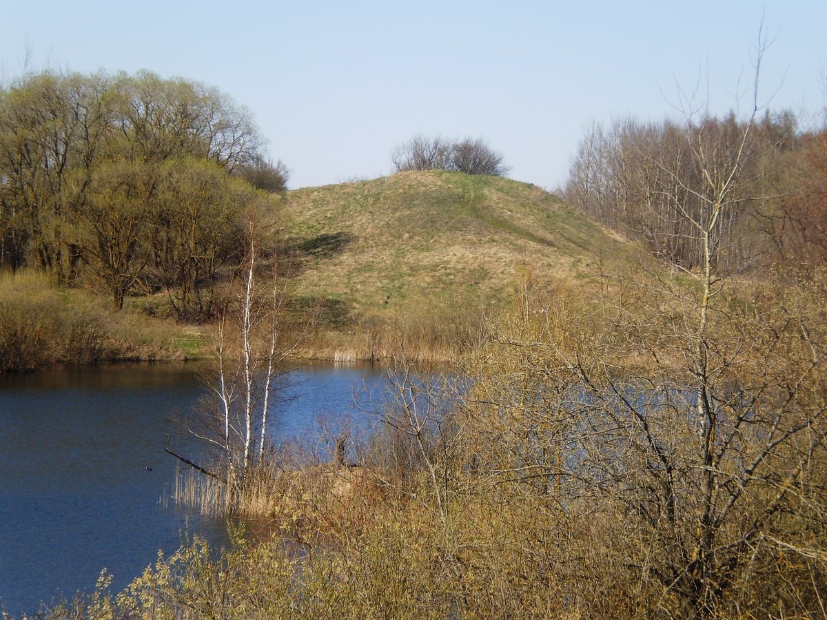
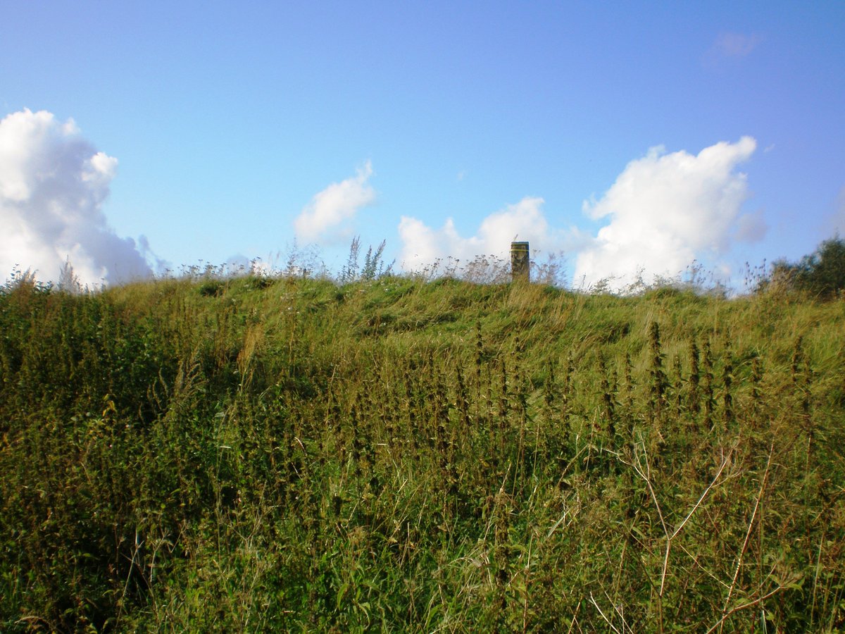
The hillfort is situated on a height on the left bank of the Kruosta river. It features a quadrilateral courtyard sloping gently southward, measuring 65x10 meters. On its northern side is a 16-meter-wide mound, 0.8 meters high, with an outer slope descending into a 4-meter-wide, 0.3-meter-deep ditch. The slopes reach heights of 9-10 meters.
Datable to the first millennium through the beginning of the second millennium, the fort was partially excavated by the state in the early 20th century, leaving behind two pits. To the north of the hillfort is a settlement on a 1.5-hectare plot. The site was surveyed by Liudvikas Kšivickis in 1903 and by the Institute of History in 1968.
Sources: Wikipedia, OpenStreetMap, Wikidata, Wikimedia Commons

Written by Nicolo Ciampini
Discuss this with the author and others
No comments yet. Be the first to start the conversation.