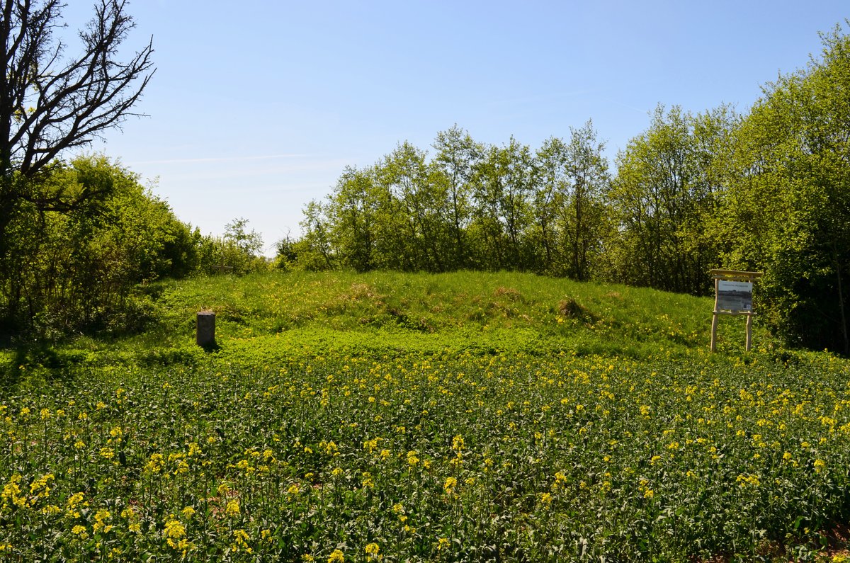

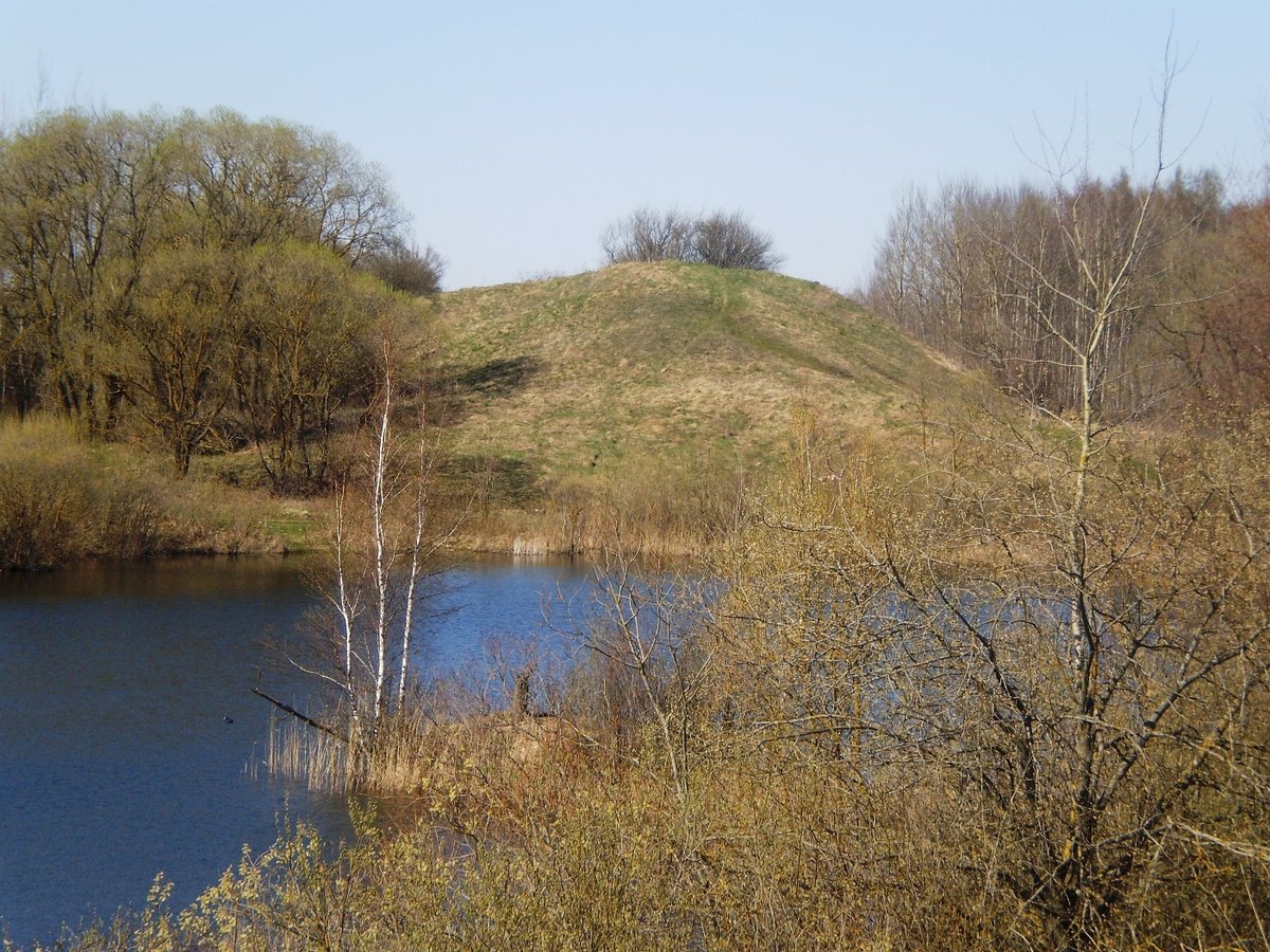
Nestled in the Surviliškio seniūnija region lies an intriguing triangle, colloquially known as either Močėnų piliakalnis or Žalnierka. This hillfort is located 1.5 km to the southeast of Vaidatonių, near the confluence of the Kruosto and its tributary Skaudinys. It can be reached via a narrow field path running from the village of Mociūnai, through Russian cemeteries, and across active fields.
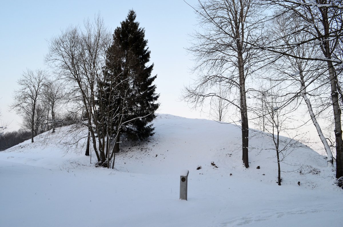
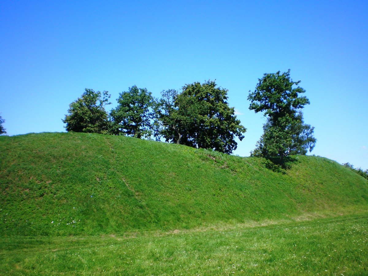
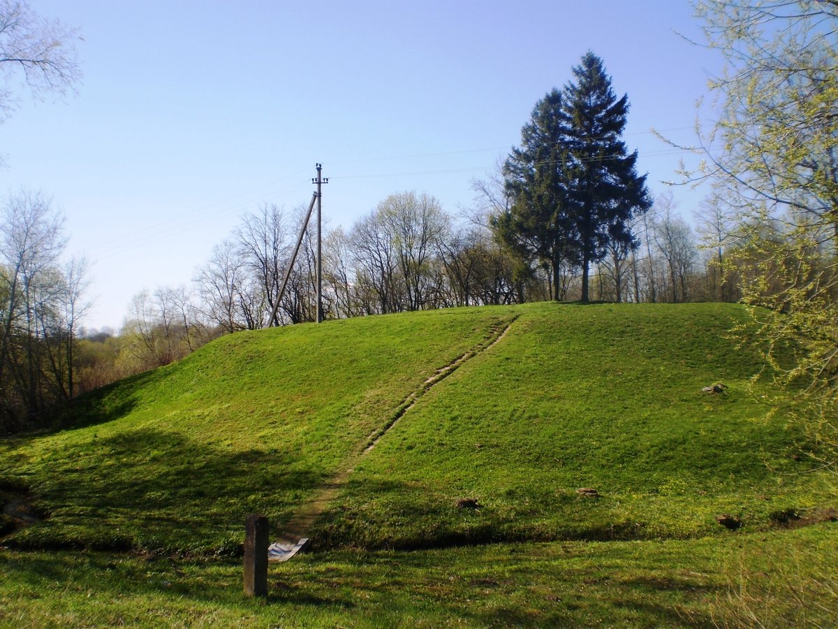
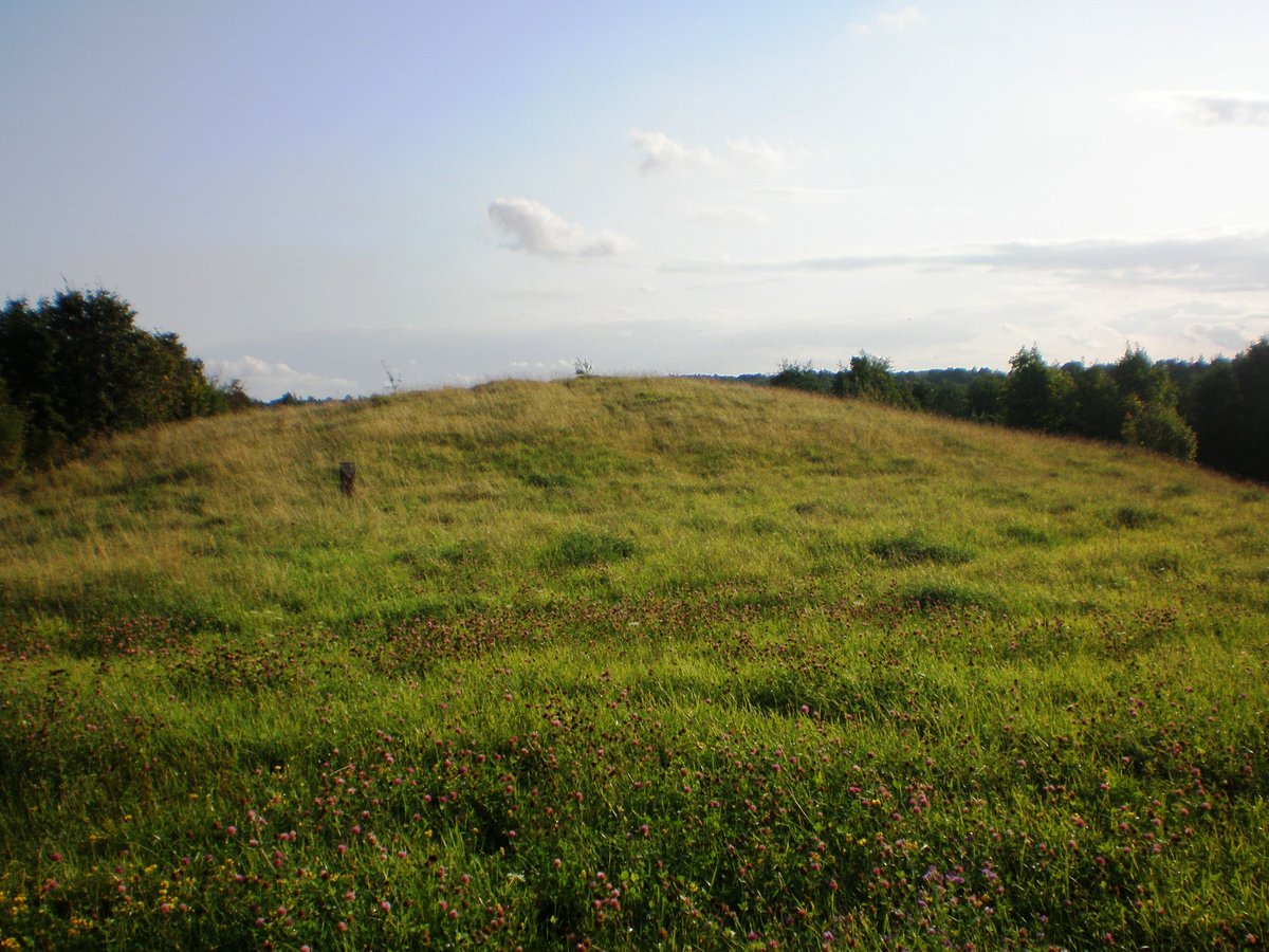
The site is a triangular area oriented toward the northeast. It measures 45 meters in length and 18.5 meters wide on the northeast edge. Within this space, there is a mound 28 meters long, 2 meters high, and 21 meters wide. The slopes are 14 meters high.
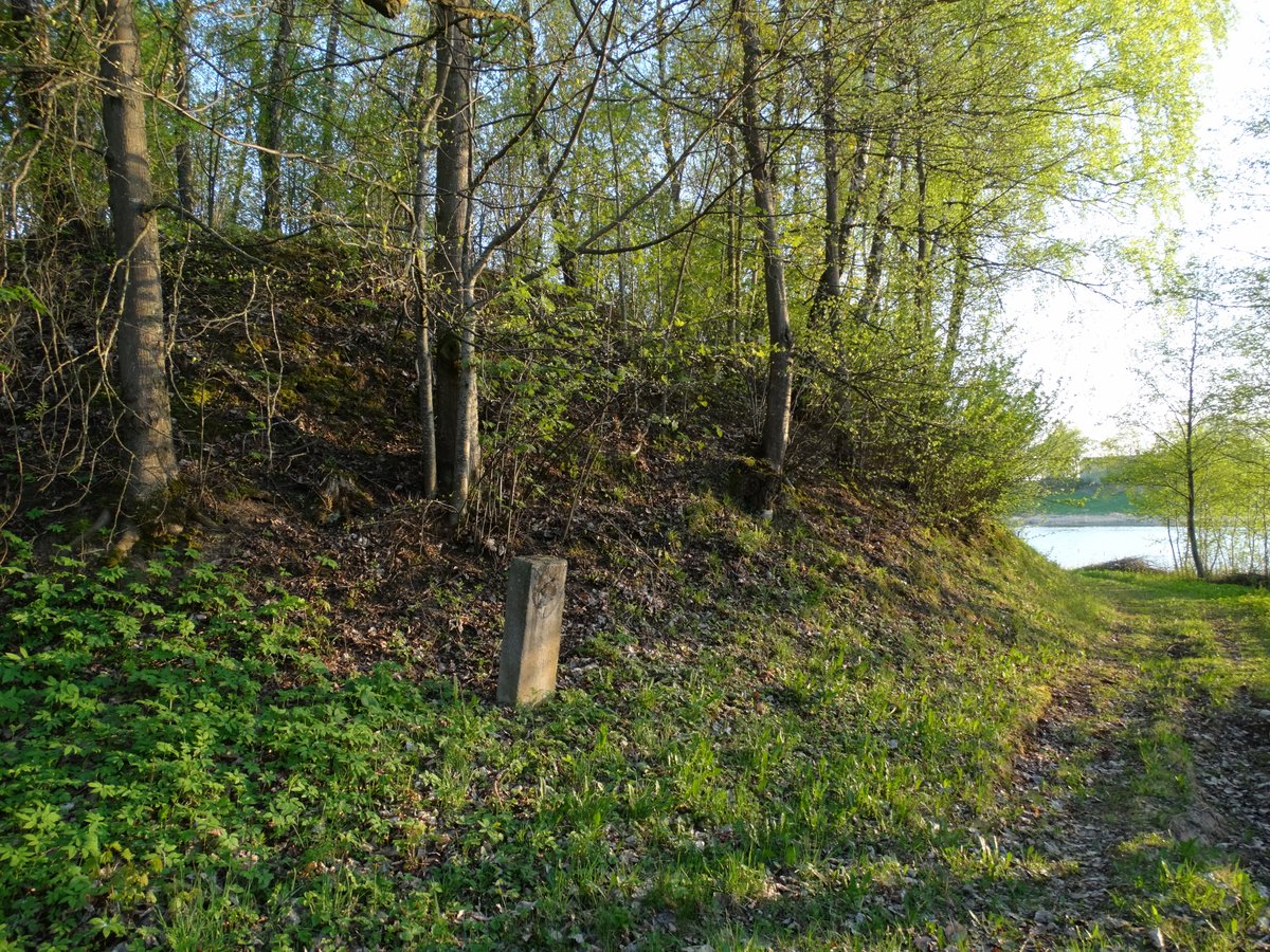
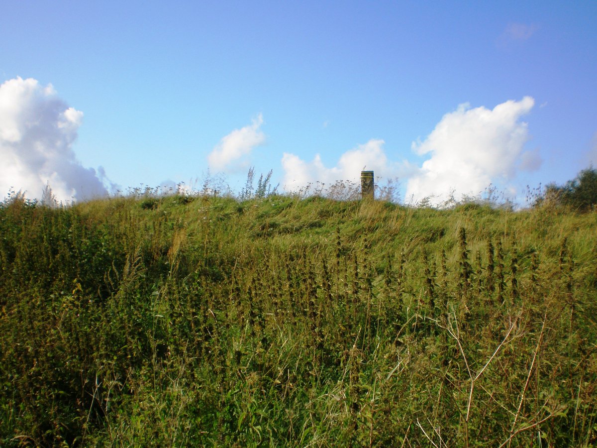
Vaidatonių piliakalnis shows significant wear. Old village cemeteries are located here, marked by a wooden cross, while farming continues in the surrounding area. The eastern and western slopes have eroded and become overgrown with trees. The hillfort dates from the first millennium to the beginning of the second millennium.
Sources: Wikipedia, OpenStreetMap, Wikidata, Wikimedia Commons

Written by Nicolo Ciampini
Discuss this with the author and others
No comments yet. Be the first to start the conversation.