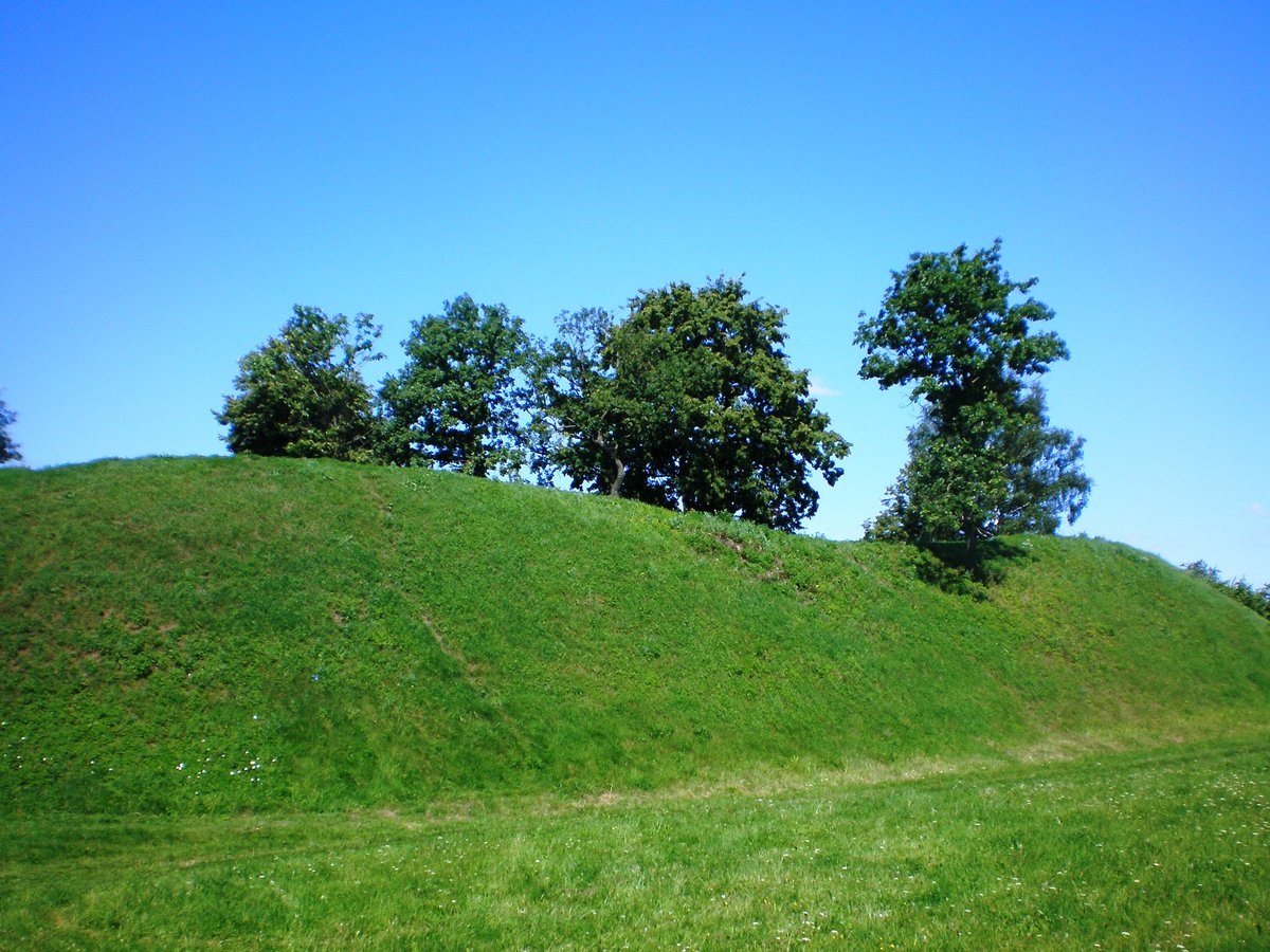

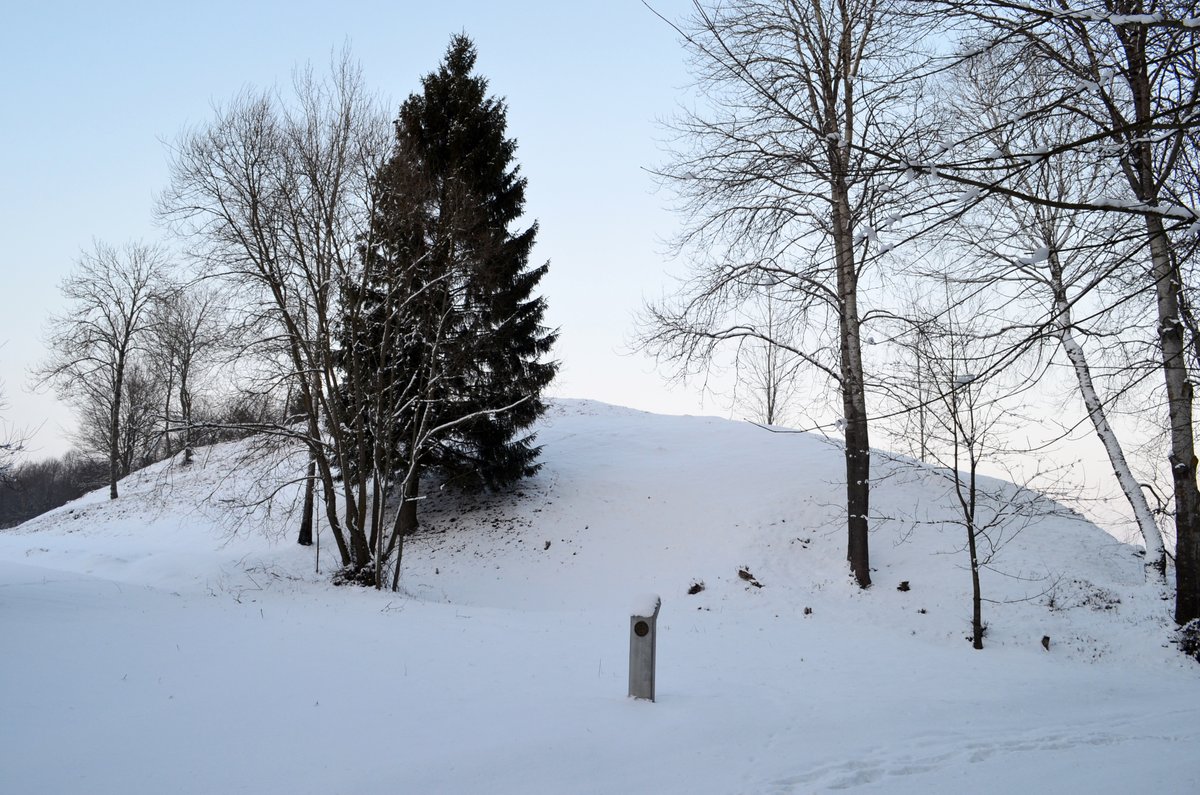
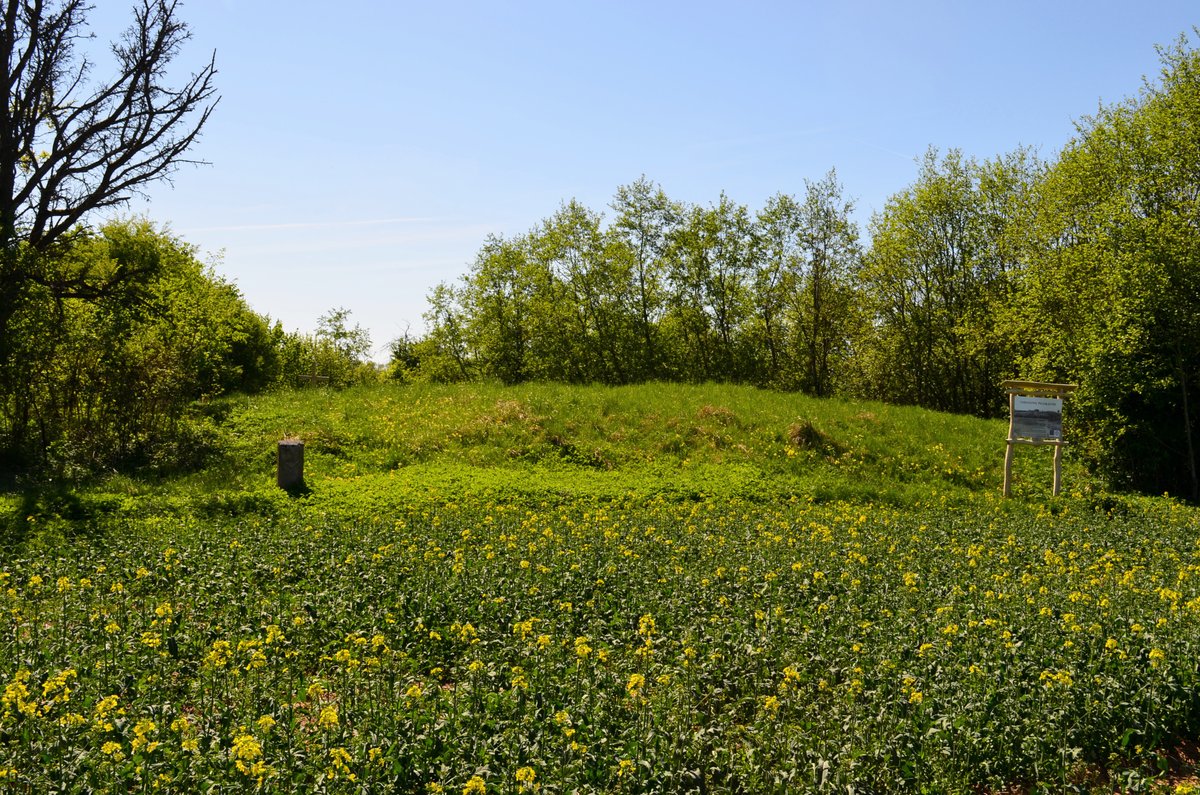
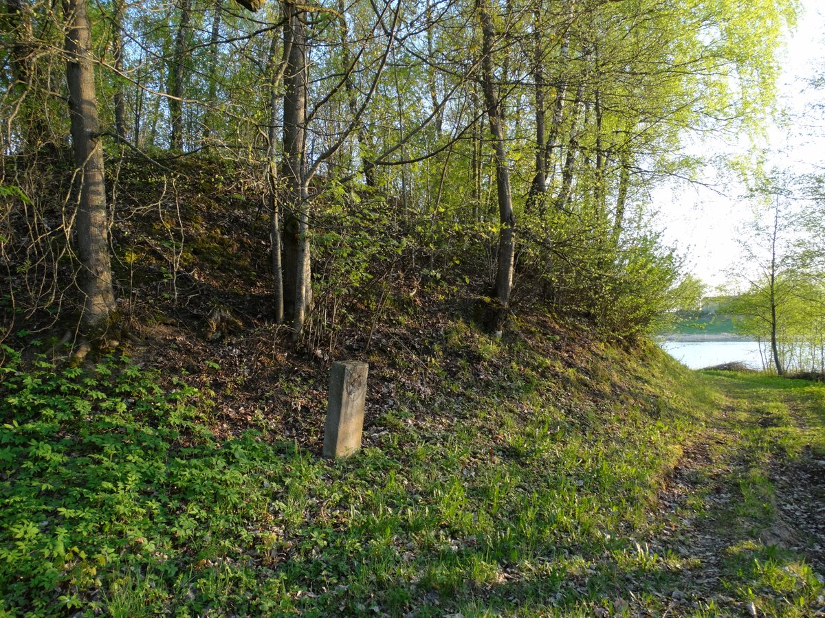
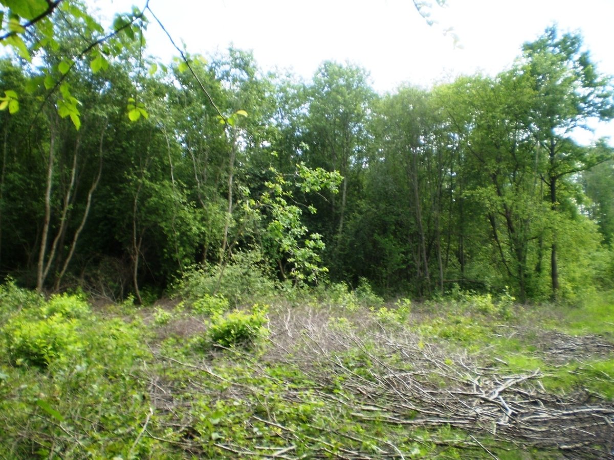
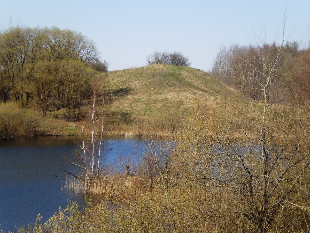
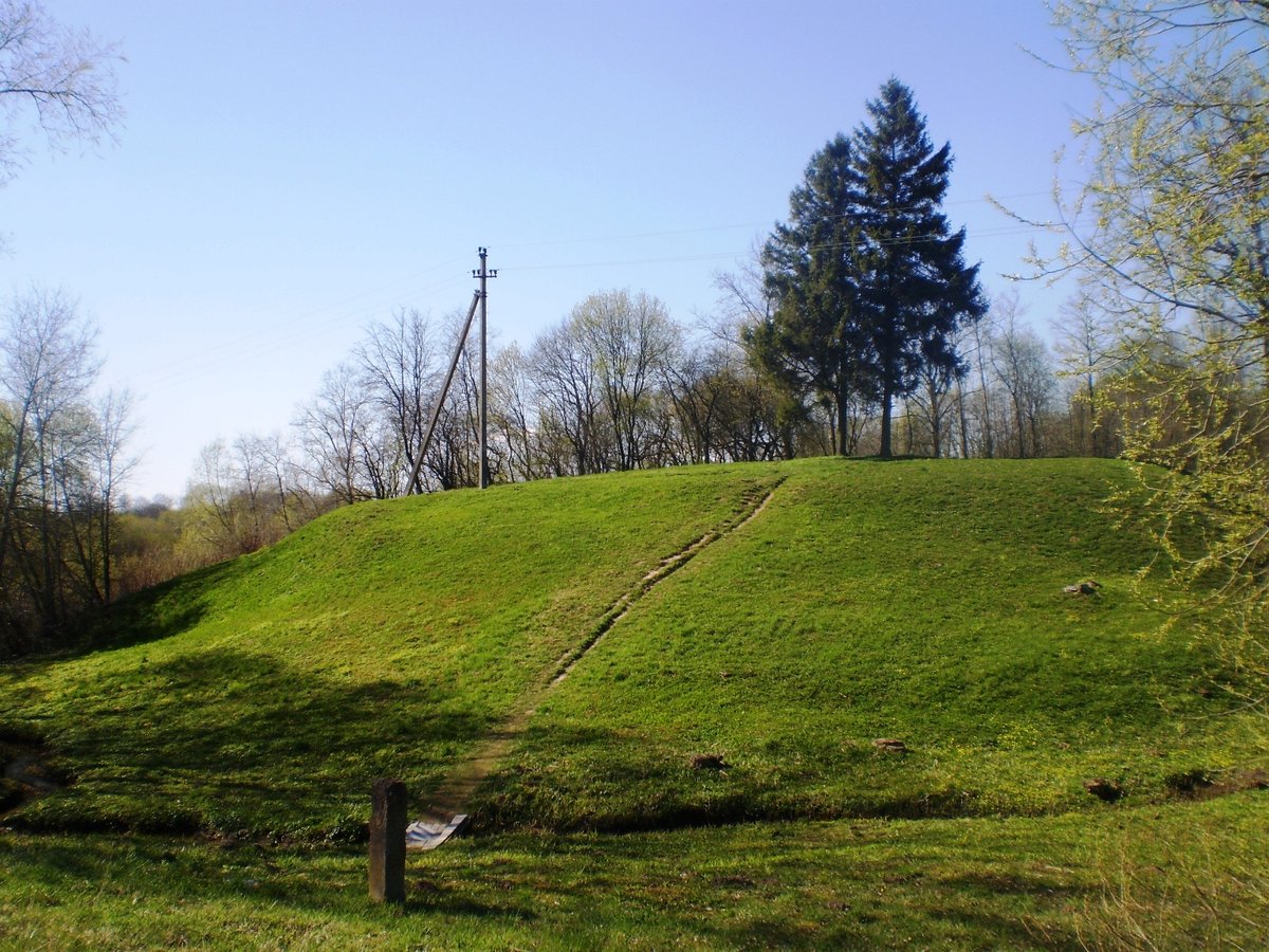
Located in the Krekenava regional park, Bakainių piliakalnis is a prominent hill-fort situated near the village of Bakainiai, along the western bank of the river Liaudė. The site is characterized by a long hill running north-south with steep slopes and a summit courtyard shaped like an irregular trapezoid, measuring approximately 70 meters long and 55 meters wide. To the east, the site features a 170-meter-long forecourt protected by a 5-meter-high rampart and a 4-meter-deep ditch.
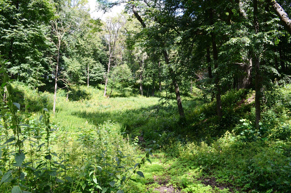
Archaeological research identifies several distinct sections of the fortification. To the east of the main courtyard lies a first rampart with a large trapezoidal area where pottery has been found. A terrace located 5-6 meters below the courtyard surface likely served as a path leading toward the forecourt. To the west of the main courtyard is a second, triangle-shaped rampart, while a 3-meter-high rampart at the southwestern corner may have marked the location of a defensive gate tower.
Historical records and legends offer various perspectives on the site's significance. While a 1372 chronicle by Herman von Bärenberg mentions a location called Sassen, local legend suggests the hill was filled following a battle where a leader fell; his people reportedly carried their hats to the site to bury the earth over his grave. Excavations by General Siversas in 1841 and later researchers found cultural layers of significance, and the site remains a notable archaeological landmark in the region.
Sources: Wikipedia, OpenStreetMap, Wikidata, Wikimedia Commons

Written by Nicolo Ciampini
Discuss this with the author and others
No comments yet. Be the first to start the conversation.