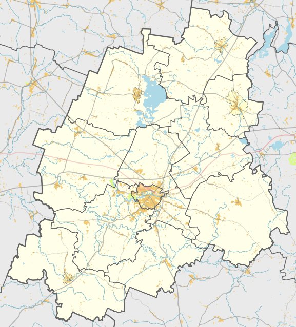

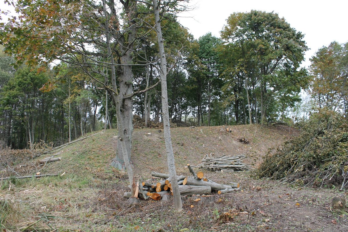
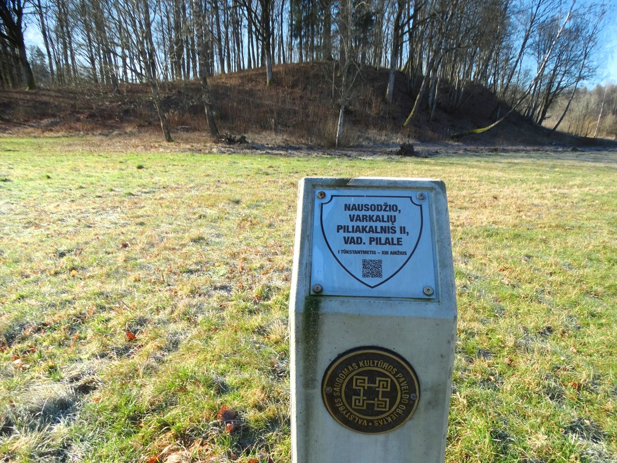
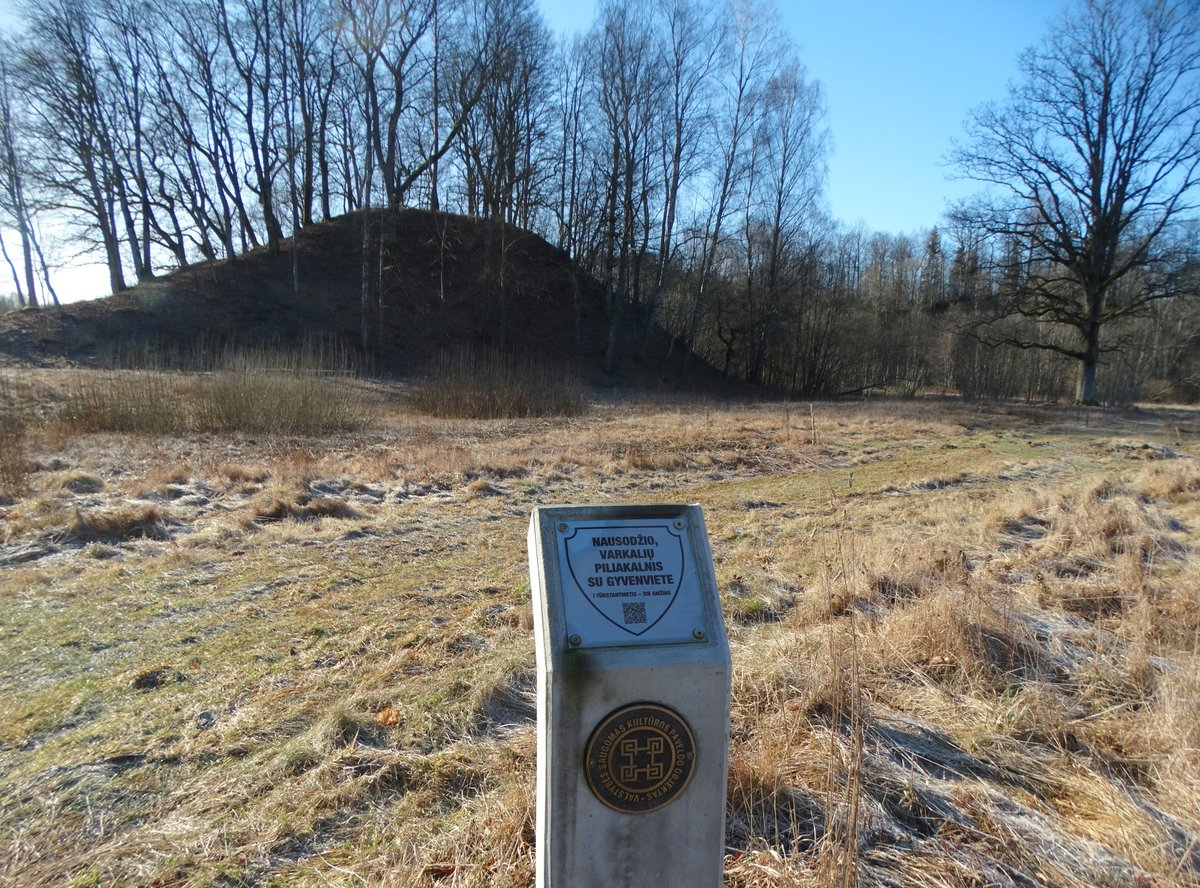
Surblių piliakalnis stands 10 metres high on the bank of a nameless stream. The site features a rectangular clearing measuring 77 by 54 metres, protected on the southwest, south, and southeast sides by a 65-metre-long earth bank. The outer slope of this bank was 3 metres high, descending into a ditch that was 12 metres wide and 0.5 metres deep.
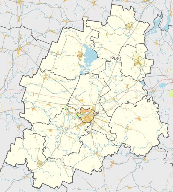
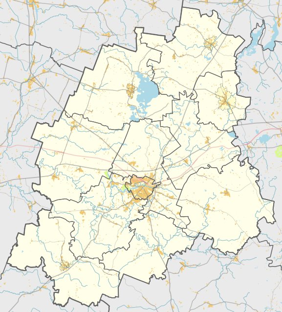
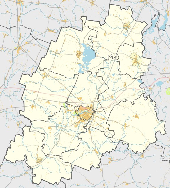
Archaeological research conducted by the Institute of Lithuanian History in 1954 and 1962, along with further studies in 1989, dates the hillfort from the 1st millennium BC to the 13th century AD. The structure is located in the Plungė district near the village of Surbiai, accessible via a road from Didviečiai towards Babrungėnai.
Historical records provide a link to the site's identity. A letter dated April 5, 1253, from the Order of Livonian Knights and the Bishop of Livonia (referenced as a letter regarding the lands of the southern Curonians) mentions a fort called Remtinė.
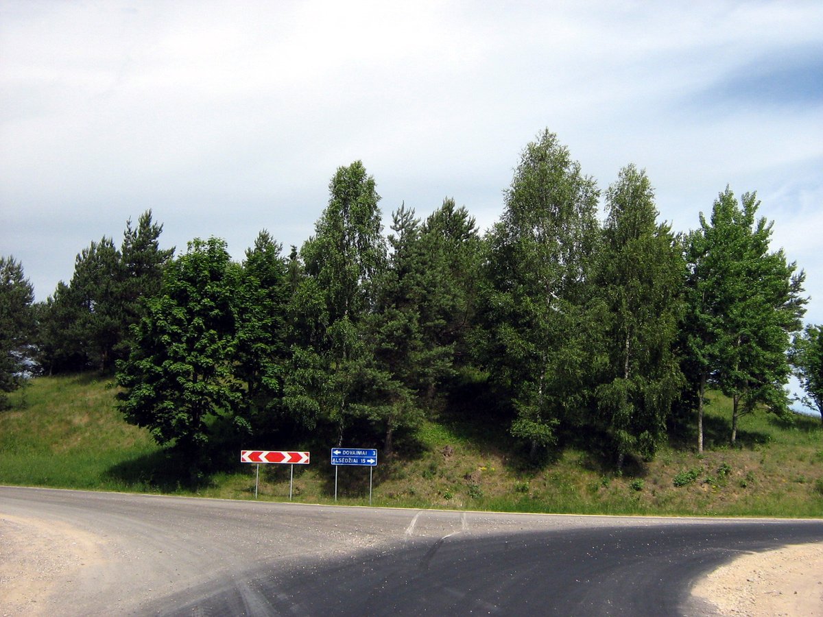
Today, the site is covered with young elms. Within the south slope, 2 metres below the clearing, there is a terrace 8 metres wide, sloping downwards towards the south. The remnants of a former ditch on the opposite side of the bank are no longer visible.
Sources: Wikipedia, OpenStreetMap, Wikidata, Wikimedia Commons
Written by Nicolo Ciampini
Discuss this with the author and others
No comments yet. Be the first to start the conversation.