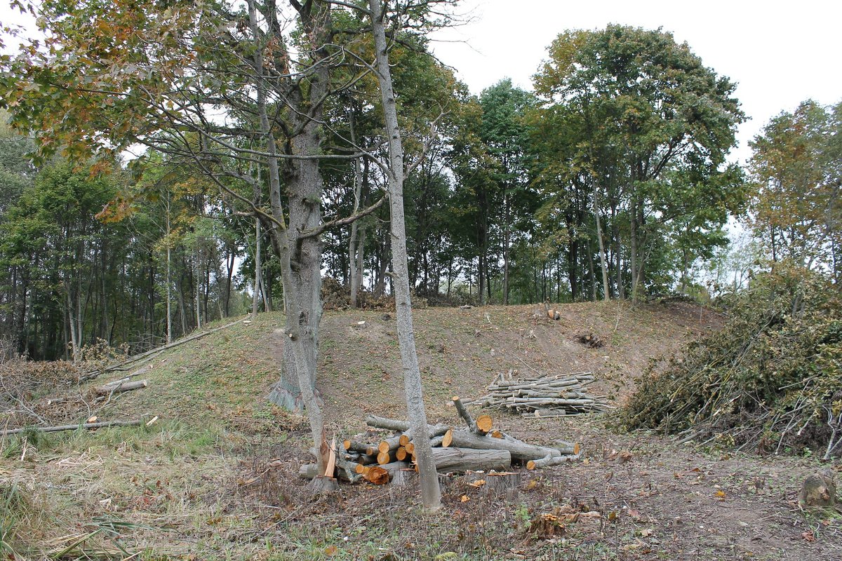

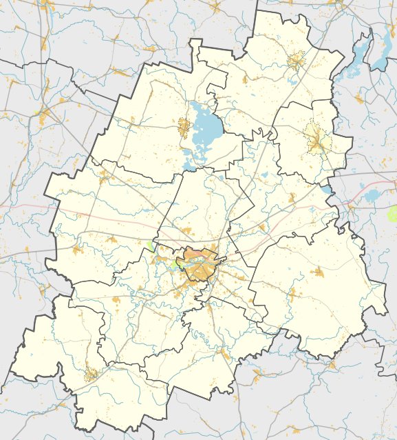
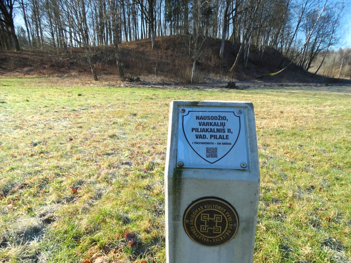
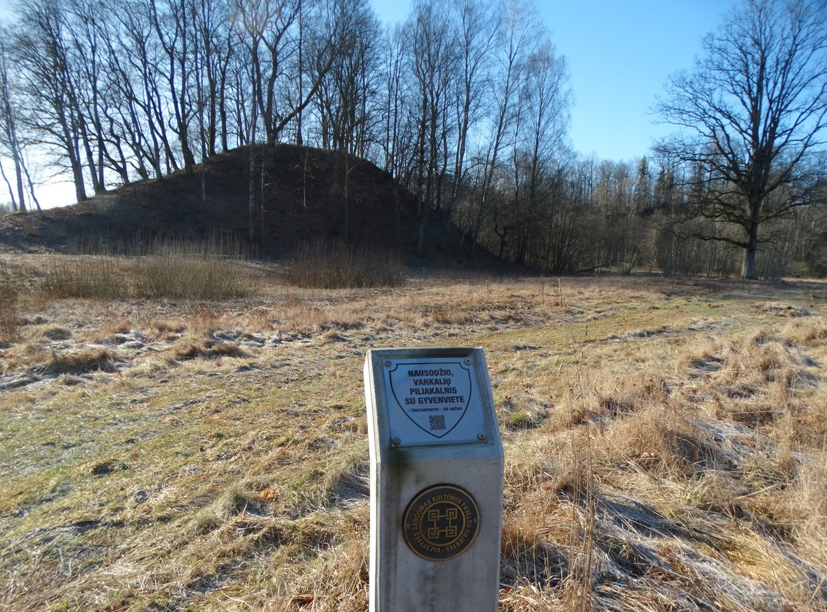
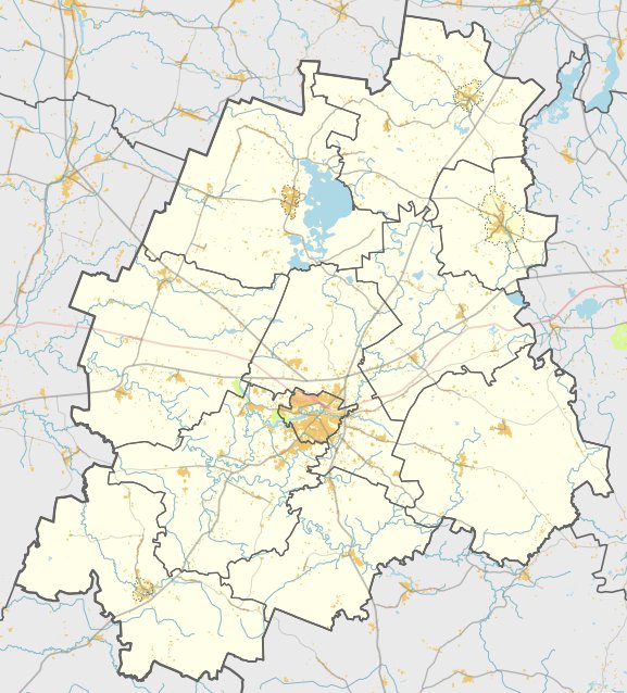
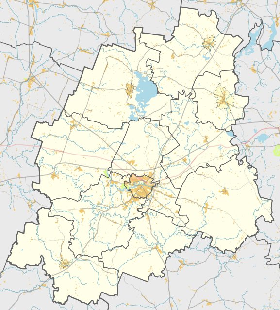
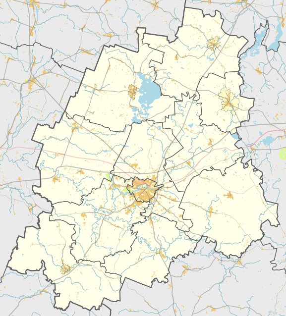
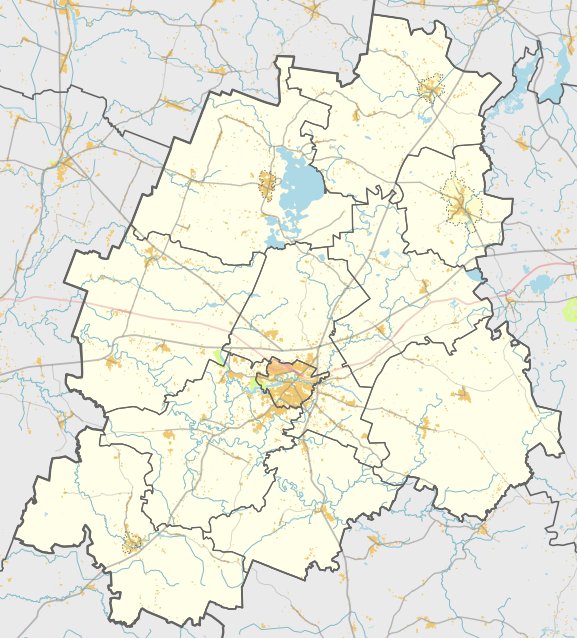
Plungės piliakalnis, also known as Pilalė or Pabrėžos pilale, is a hillfort located on the left bank of the Babronga river. It is situated 1.2 km from the center of Plungė, reachable by walking along Birutės Street towards Prūsai. The site is located 30 m north of the old town cemetery, where the Plungės All Saints Chapel stands.
The hillfort is situated in a valley bend of the river (now a pond), set on a separate hill surrounded by the river to the west, north, and east. To the south, low wetlands connect the hill to a further highland. The slopes reach a height of 5 m. The site features a rectangular clearing that is 40 m long in an east-west direction and 25 m wide, with the eastern end being 0.5 m higher. While the north-east slope has been washed away, the surrounding area is covered in deciduous trees that were thinned out in 2015. The total area of the territory is 2795 m².
Archaeological research on the hillfort was conducted in 1964 by the Institute of Lithuanian History, led by Adolfas Tautavičius, who found no cultural layers. Dating back to the 1st millennium, the site was entered into the register of archaeology monuments of republican significance in 1972. It was further registered as a non-moving cultural heritage value in 1992, published as a cultural monument in 1998, and recognized as a state-protected cultural heritage object in 2005.
Sources: Wikipedia, OpenStreetMap, Wikidata, Wikimedia Commons
Written by Nicolo Ciampini
Discuss this with the author and others
No comments yet. Be the first to start the conversation.