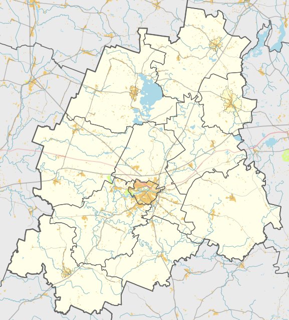

Pakutuvėnų piliakalnis, known as 'Pakutuvėnų hillfort', is located in Plungė II region of Plungė District municipal territory. Access to the hillfort is from A11 highway from Šiauliai to Palanga via Aleksandrave. The mound is positioned 800 meters east of the center of the settlement and 100 meters west of an open field – a burial mound. The hillfort is 24 meters long, and 8 meters wide in its eastern side, with a flat top that stands 9 meters high. According to the sources, a large part of the mound was covered by forests, but it is not specified whether it still is. The mound was excavated by the Institute of History of Lithuania in 1963. Dated to the Iron Age, this hillfort in Lithuania's Plungė District is one of the many hillforts in Lithuania, with a total of 1,008 hillforts identified in the country to date.
Sources: Wikipedia, OpenStreetMap, Wikidata, Wikimedia Commons
Written by Nicolo Ciampini
Discuss this with the author and others
No comments yet. Be the first to start the conversation.