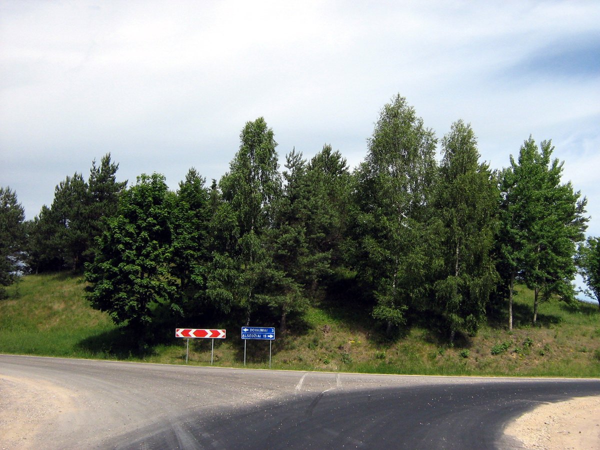

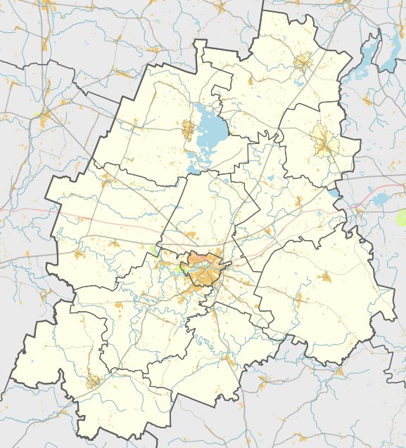
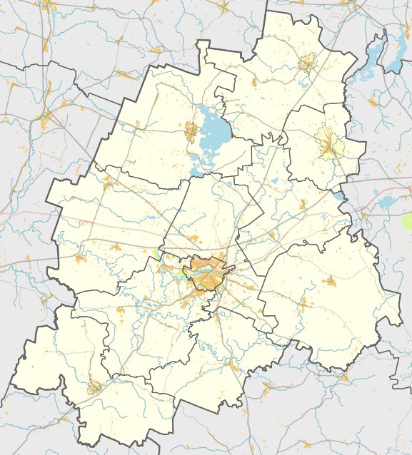
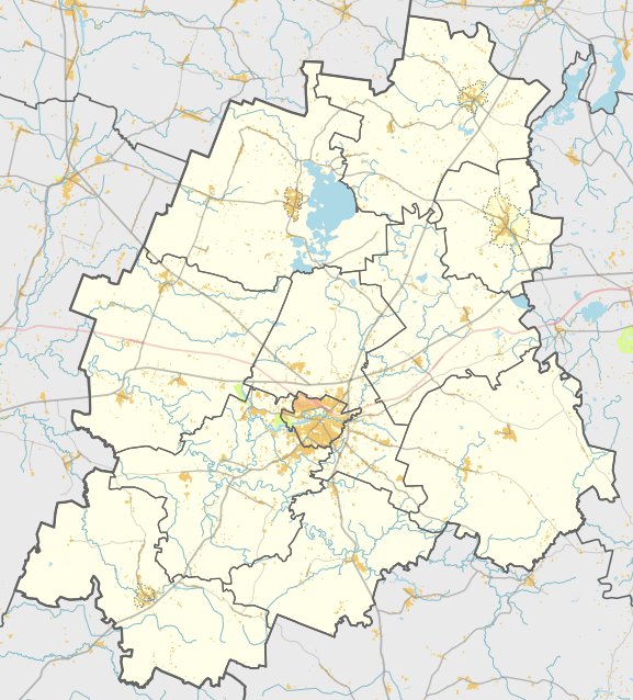
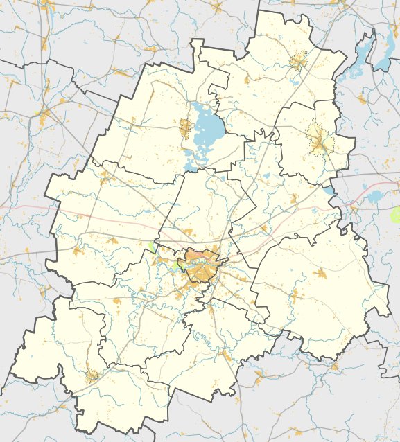
Located near the village of Užpelkiai in the Plateliai eldership, the Užpelkių piliakalnis, also known as Pilalė, is an archaeological site. It is accessible by the road Plateliai–Gegrėnai, situated north of the intersection with the road Alsėdžiai–Dovainiai.
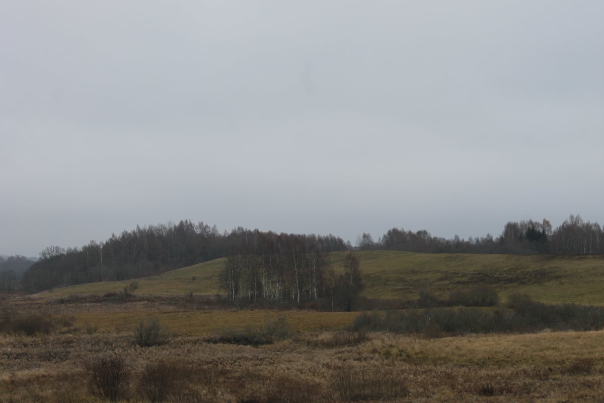
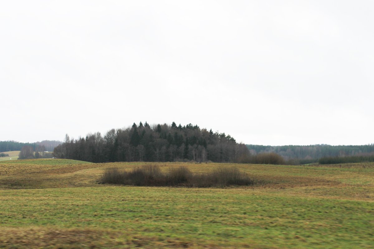
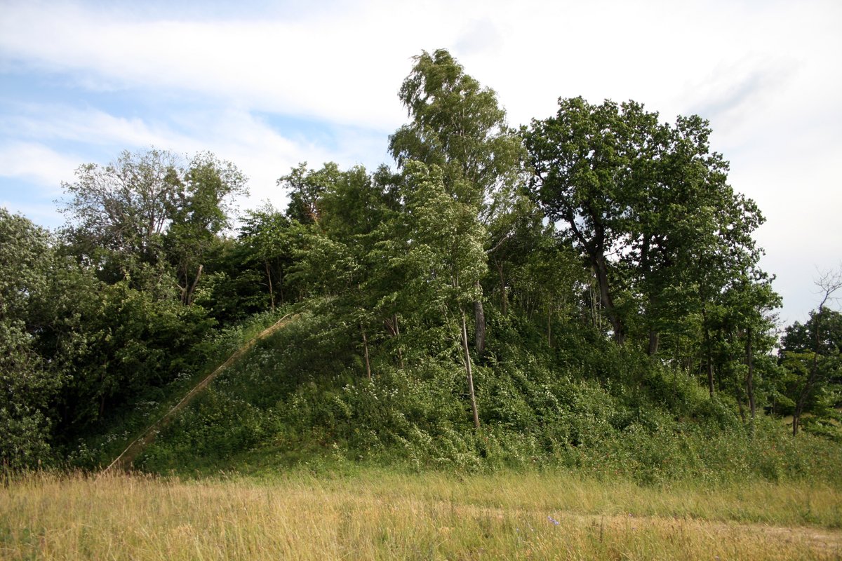
The hill fort is built on a separate hill with an oval courtyard measuring 33 by 11 meters, oriented east to west. On its western side, there is a wall 0.3 meters high and 12 meters wide. While the eastern side also had a wall, no traces of it remain today. The slopes are of medium steepness, reaching a height of 8 meters.
The site is covered with boulders and sparse bushes. On the southern slope, a stone axe with an unfinished groove was discovered. In 1966, the Institute of History performed exploratory archaeological research on the site, which dates back to the 1st millennium.
Sources: Wikipedia, OpenStreetMap, Wikidata, Wikimedia Commons
Written by Nicolo Ciampini
Discuss this with the author and others
No comments yet. Be the first to start the conversation.