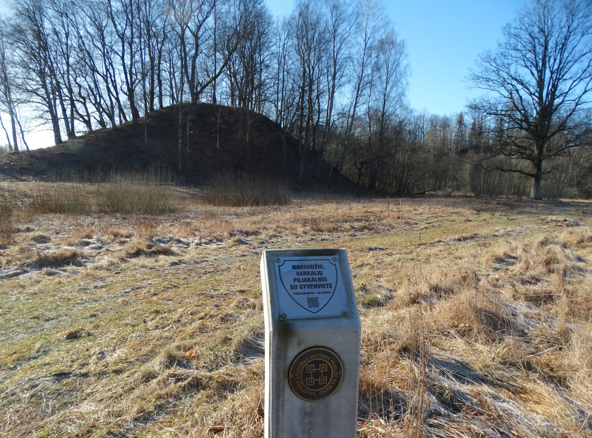

What is notable about Nausodžio I is that it is part of a pair. You find two distinct earthworks sitting in the Babrungo valley, reached by traveling 100 m northeast from the first hillfort across an old drainage canal. The site consists of a hillfort and a papilys complex.
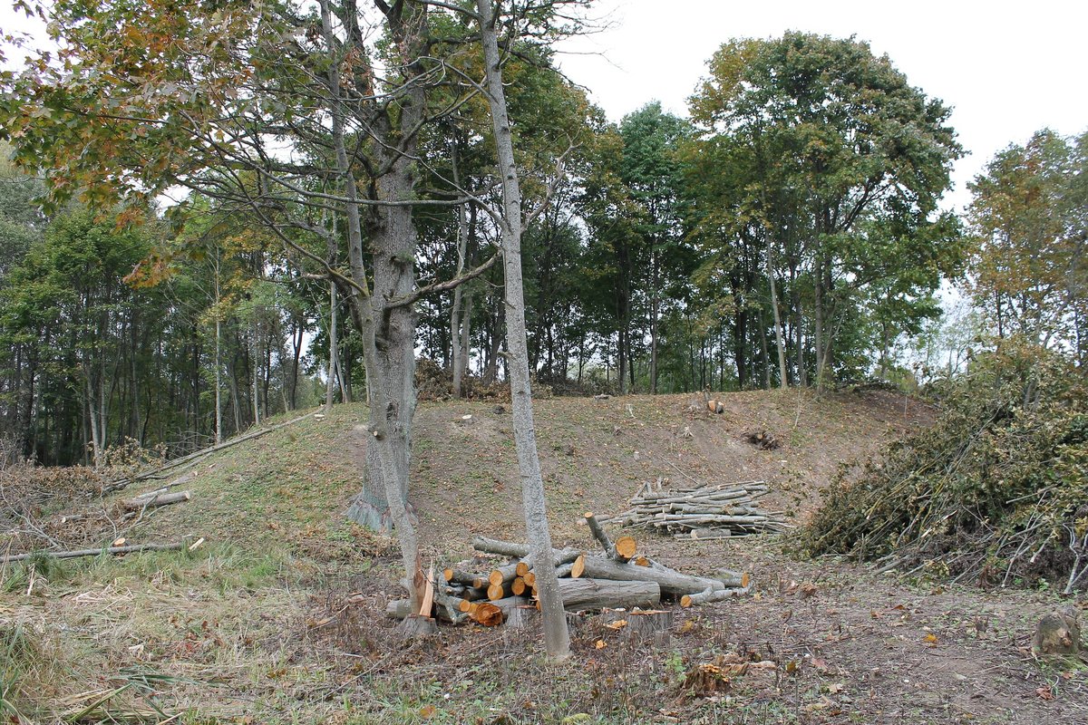
The first is a nearly square-shaped mound measuring 16x14 m, situated 1 m below the surrounding ground on its southern side. It has steep 16-metre slopes covered in bushes. On the northeast slope, there is a terrace 2 m wide located 2 m below the yard, and another terrace 4 m wide located 4 m below the yard.
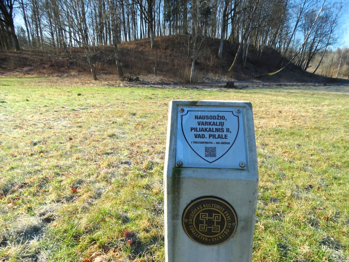
The second structure, known as Pilalė or the second hillfort, is a completely different size. It is an irregular oval, stretching 110 m long and 54 m wide. It is 2 m higher on its western side and features a terrace 20 m long and 76 m wide located 3 m below the yard on its eastern slope. Both structures are covered in bushes.
Archaeological research conducted in 1949 by the Institute of Lithuanian History did not observe cultural layers or former fortifications. The hillfort is dated from the first millennium to the 13th century. These two structures represent a curious architectural layout in the landscape, remaining as distinct silhouettes against the trees.
Sources: Wikipedia, OpenStreetMap, Wikidata, Wikimedia Commons
Written by Nicolo Ciampini
Discuss this with the author and others
No comments yet. Be the first to start the conversation.