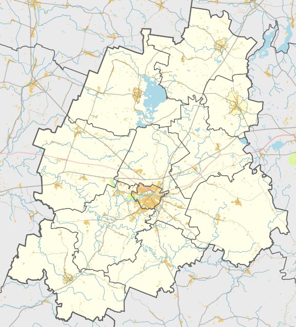

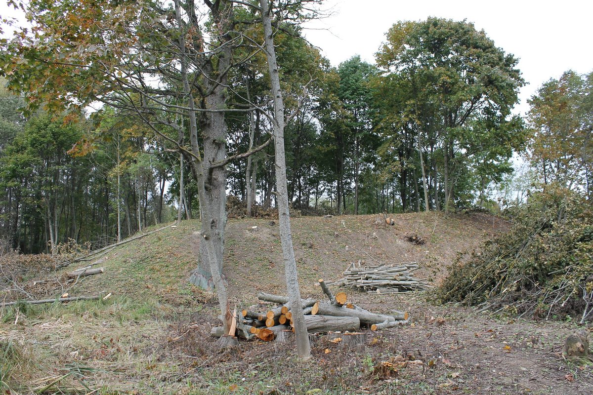
Stanelių piliakalnis, also known as Senpilis, is a fortification located on a sharp ridge along the right bank of the Pietve river. The site is surrounded by streams on three sides - from the southeast, south, southwest, and northwest - with a continuous high ground approaching from the northeast. The slopes leading down into the valley reach about 8 metres in height.
The main arena of the hillfort is trapezoidal, measuring 18 metres long at its longest point. On its southwest edge, there is a rampart 0.3 metres high and 8 metres wide. Further down the slope, 4 metres below the rampart, lies a terrace 6 metres wide. The arena appears to have been crossed by a transverse ditch and rampart. On the northeast edge, another rampart 0.8 metres high and 14 metres wide sits before a 12-metre wide, 0.8-metre deep ditch, followed by a 9-metre wide terrace.
To the northeast of these terraces lies a secondary fortification, a priešpilis. This area features a trapezoidal arena oriented from northeast to southwest, measuring 9 metres long and up to 36 metres wide. Its northwest part is guarded by a massive rampart measuring 58 metres long, 3 metres high, and 18 metres wide. The entire complex is surrounded by ramparts made of stones and grass.
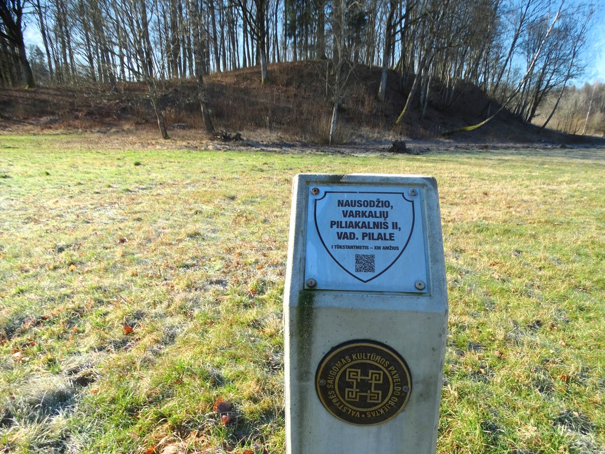
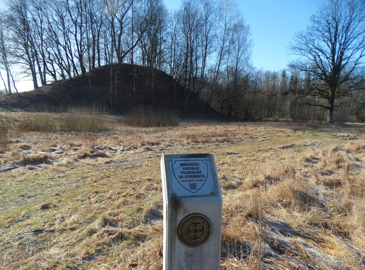
Archaeological excavations conducted by the Institute of Lithuanian History in 1949 and 1964 date the hillfort to the 1st millennium - 13th century. Historical records include a letter regarding land shares of the southern Curonian lands, which mentions the castle of Pietve. Today, the site remains a grassy archaeological landmark.
Sources: Wikipedia, OpenStreetMap, Wikidata, Wikimedia Commons
Written by Nicolo Ciampini
Discuss this with the author and others
No comments yet. Be the first to start the conversation.