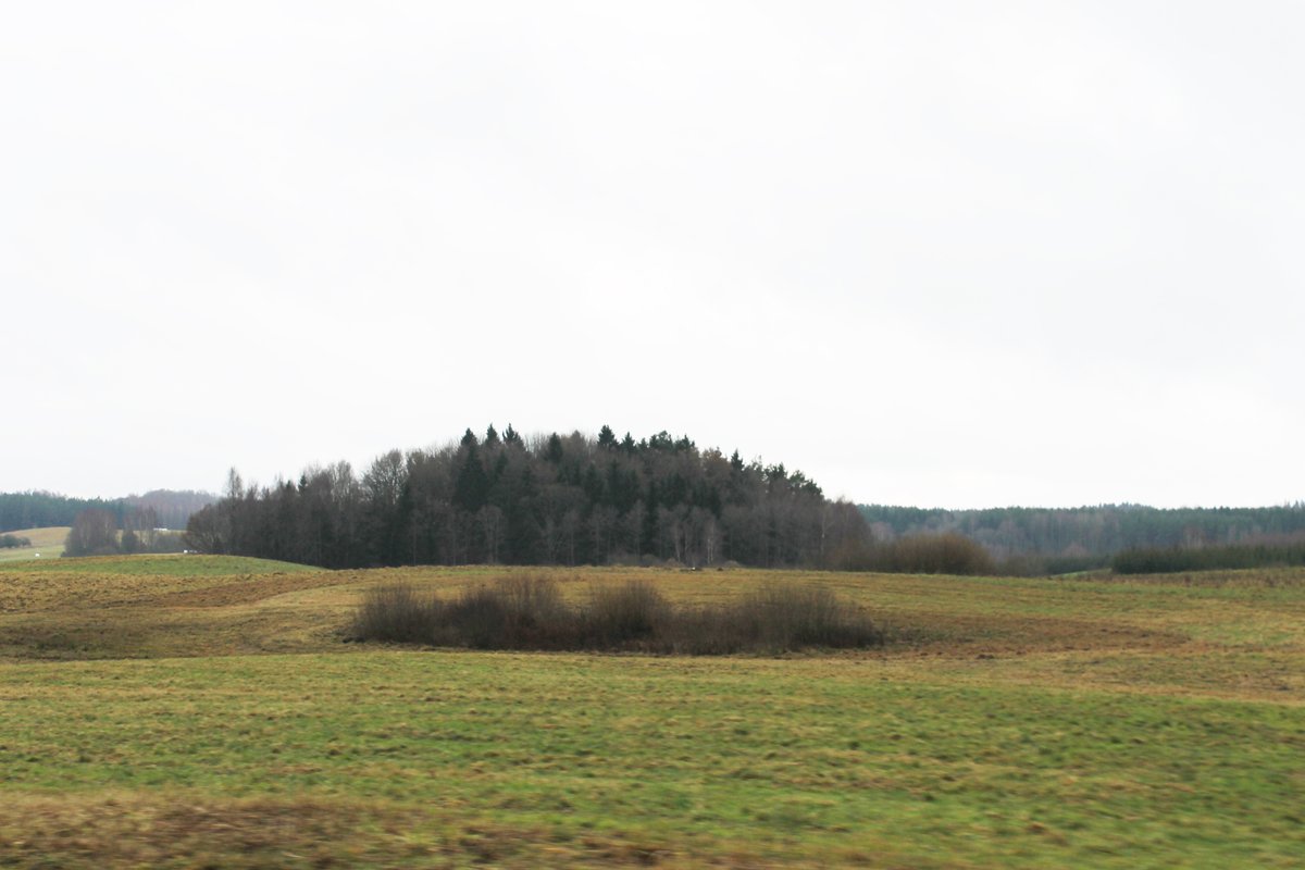
Tracing its origins to the Early Iron Age, Piliakalnis, also known as Pile, is a 120-meter wide archaeological site situated on the left bank of Melnyčėlės river, in a slightly recessive slope. Explored by the Lithuanian History Institute in 1966, it was declared a cultural heritage monument in 1972 and registered in the List of Archaeological Sites in 1997. Navigating to Pile can be challenging, as it's not where Google Maps might tell you it is. To access the hillfort, follow the road Žemaičių Kalvarija–Gegrėnai–Medsėdžiai, turning left at the Pūčkorių crossroads and then turning left 1.1 km further to Mikytų crossroads (Gėlių street).
Sources: Wikipedia, OpenStreetMap, Wikidata, Wikimedia Commons
Written by Nicolo Ciampini
Discuss this with the author and others
No comments yet. Be the first to start the conversation.