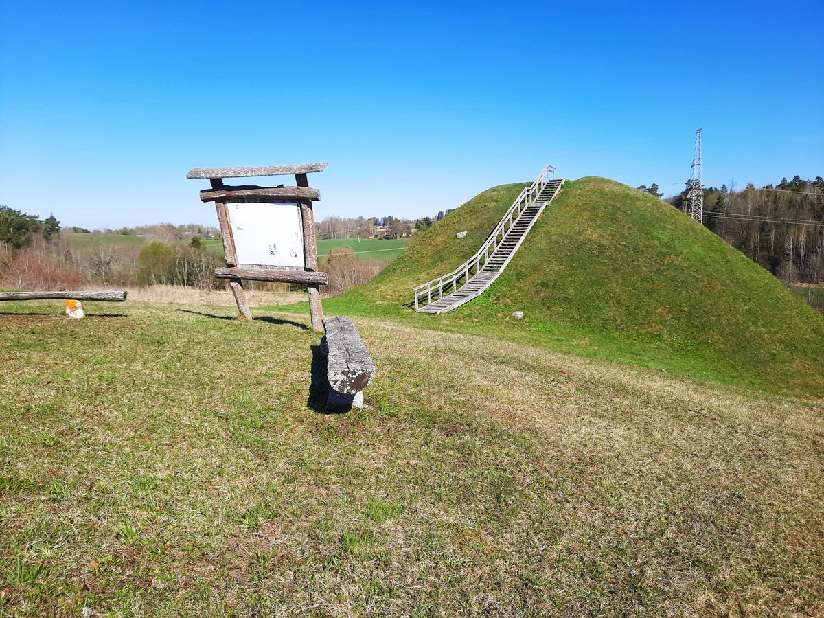

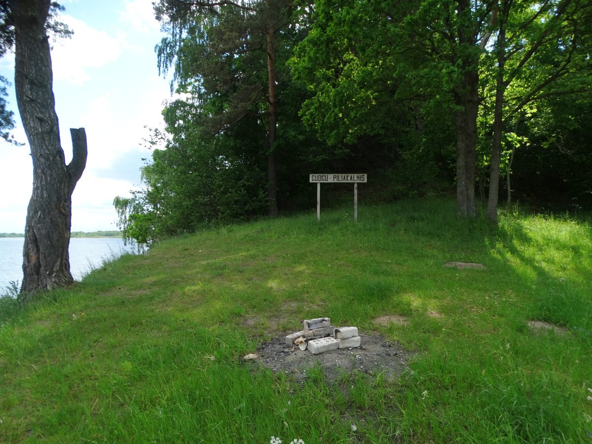
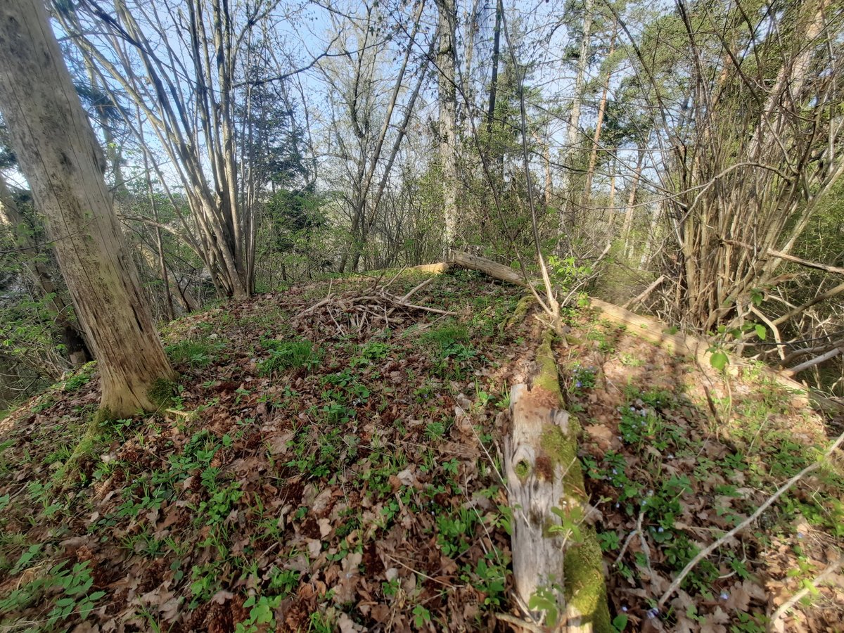
The Migonių hillfort is located on a high promontory of the Kruonė river's left bank. Excavations conducted in the 1950s by Vilnius University and the Institute of Lithuanian History revealed a sequence of four distinct construction phases, each of which ended in fire. The first rampart was 1.2 metres high with a wooden top that burned. It was then raised to 2 metres high by filling it with a layer of sand and clay, with its own wooden wall also burning. The third rampart reached 3 metres in height and 11 metres in width, featuring a new wooden defensive wall reinforced with stones that eventually burned and scorched the entire clearing. The final rampart was built to its current appearance with an outer slope paved with stones of 40 cm diameter.
The site features an oval clearing measuring 9 by 16 metres, surrounded by slopes rising 11 to 16 metres high. To the south, there is a 4-metre-high rampart and a 25-metre-wide, 2-metre-deep ditch. Nearby, there is a settlement covering 1.5 hectares where the cultural layer reaches 0.5 metres deep.
Archaeologists found significant artifacts at the site, including heavy bronze bracelets, clay spindles, stone grinders, and an iron axe head. A sestertius from the Roman Emperor Maximian was also discovered. The hillfort dates from the first millennium BC to the beginning of the second millennium BC. The findings are currently preserved by the National Museum of Lithuania and the War Museum of Vytautas the Great.
Sources: Wikipedia, OpenStreetMap, Wikidata, Wikimedia Commons
Written by Nicolo Ciampini
Discuss this with the author and others
No comments yet. Be the first to start the conversation.