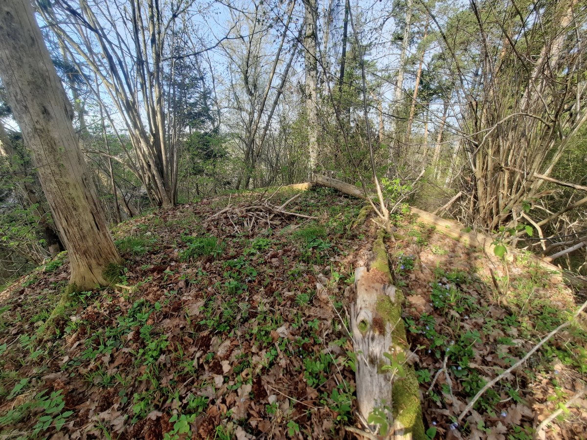
The Pelekonių IV hillfort, nestled within the Prienai District Municipality, is one of four in its vicinity. Sited strategically between the rivers Nemunas and Vekšnia, at their confluence (now known as Kauno Sea Bay), this triangular-shaped fortress boasts a wall, a remnant from the northwest, stretching 85 meters long. The wall's peak rises 33 meters above ground, with its base 35 meters deep, 5.5 meters high, and 25 meters wide. The wall's summit, towering 6.5 meters deep and 8 meters wide, overlooks a 2-meter deep ditch below. The fort's hill, sprawling 27 meters wide, has a 3-meter wide terrace, 3 meters below ground level towards the south. The fort's hill's summit, at 30 meters high, lies to the southwest. The hill fort covers an entire hill and was unearthed in 1971 by the History Institute, dating from the 1st to the 2nd millennium AD.
Sources: Wikipedia, OpenStreetMap, Wikidata, Wikimedia Commons
Written by Nicolo Ciampini
Discuss this with the author and others
No comments yet. Be the first to start the conversation.