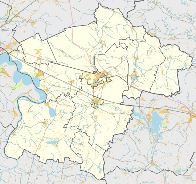

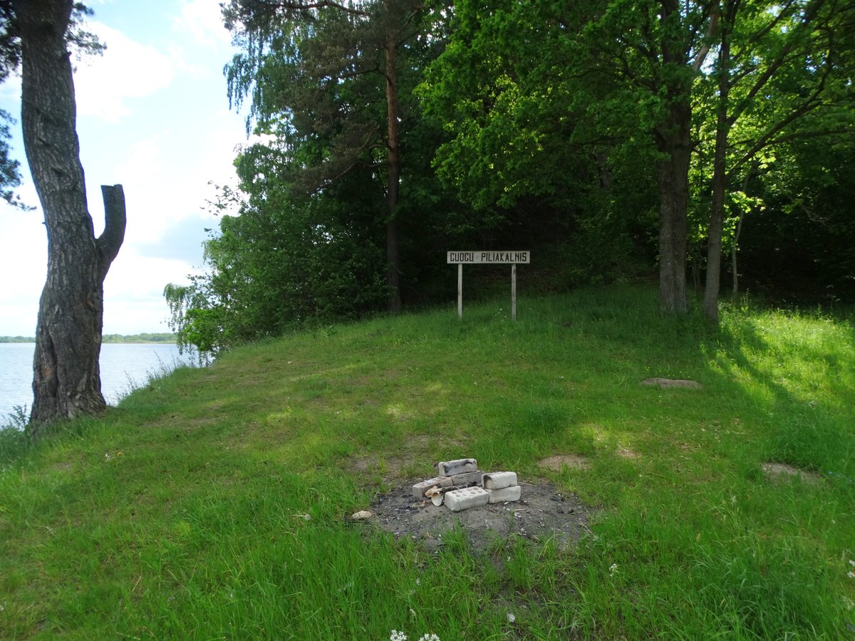
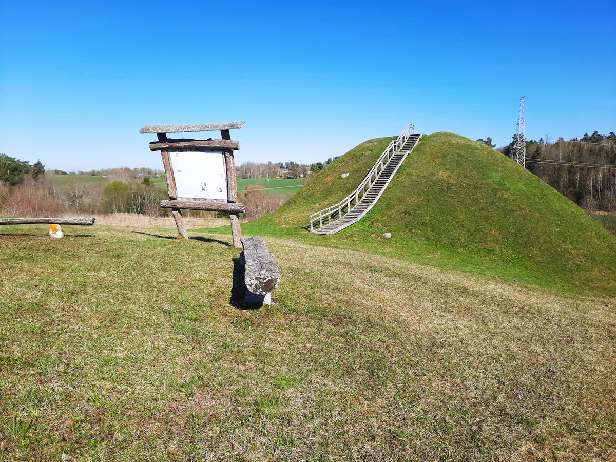
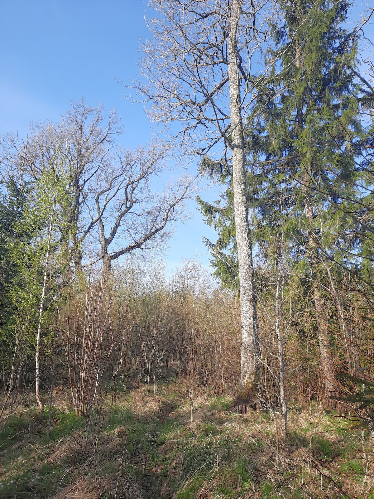
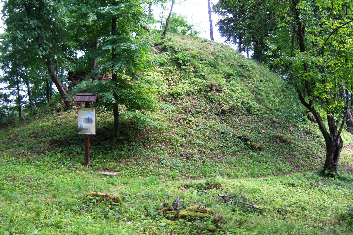
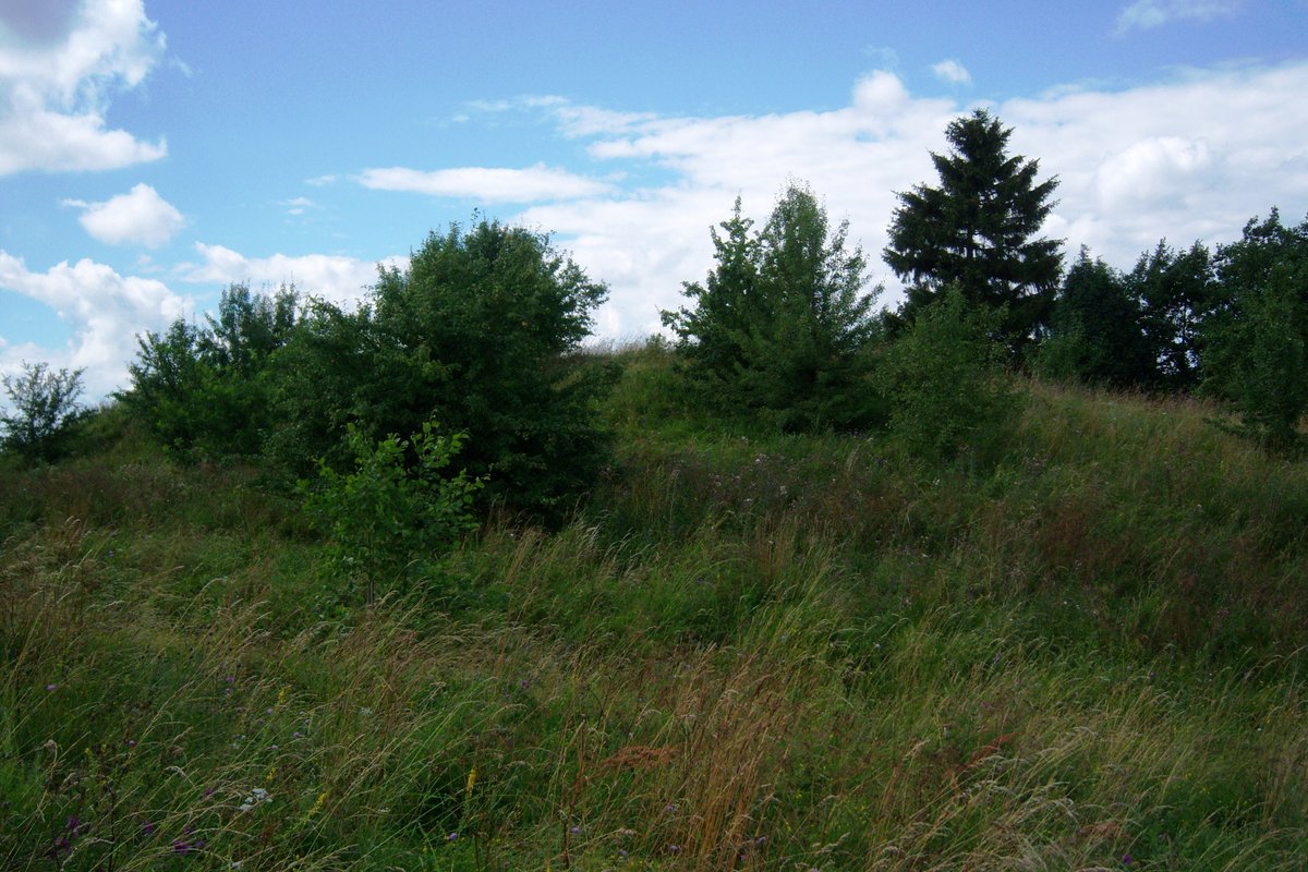
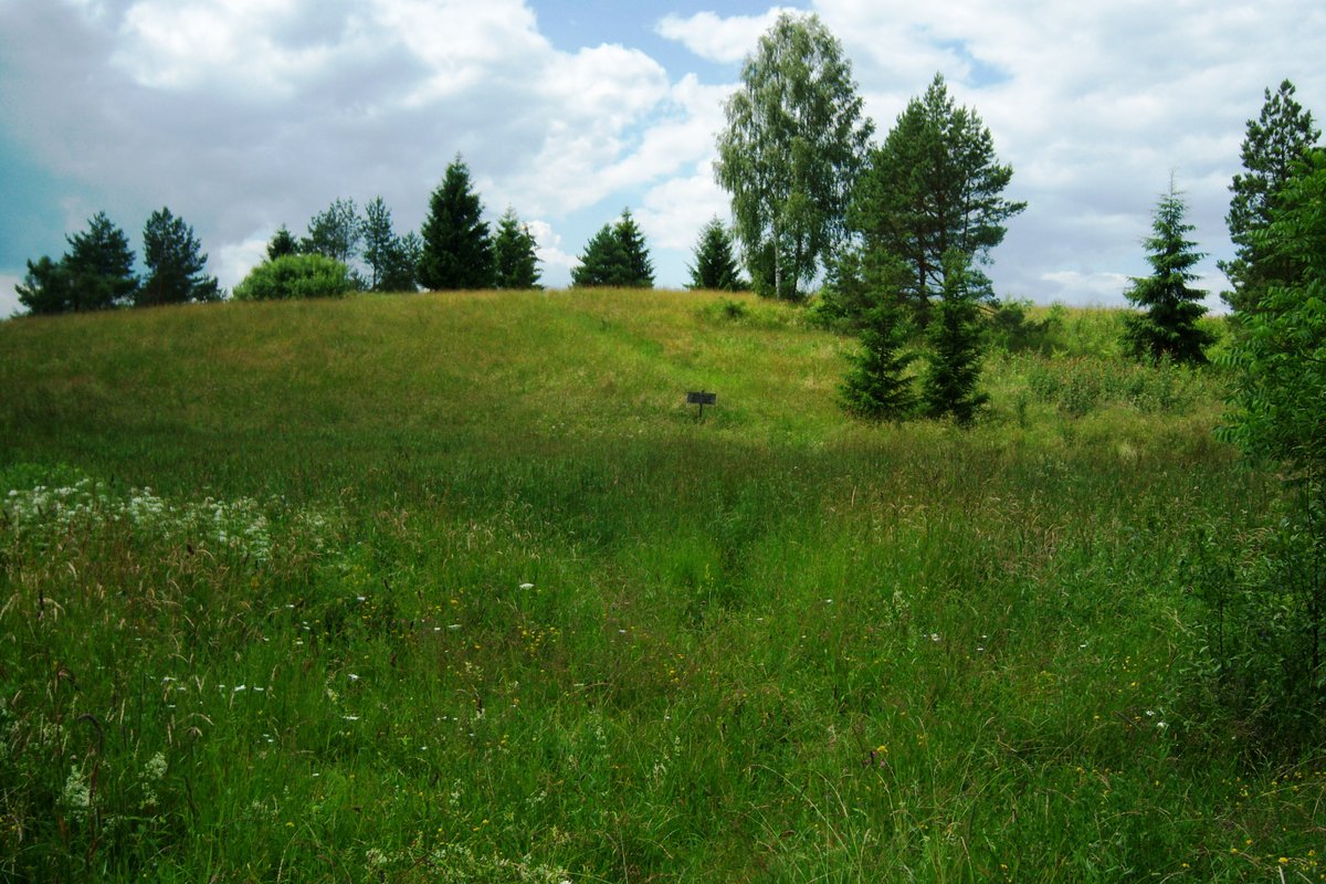
The Varkališkės I hillfort, also known as Varkališkės, Juodkočiai, or Lapainia, is a fortified site and settlement located on the high terrace of the Nemunas river. It is situated in the forest and can be reached from the Kruonis - Darsūniškis road. The site is characterized by its steep slopes, which reach heights of about 40 meters.
The hillfort features a triangular courtyard with edges measuring 20 meters to the west, 18 meters to the southeast, and 22 meters to the northeast. Two meters below the courtyard level, the slopes contain a 4-5 meter wide ditch, 0.5 meters deep, behind which is a 6-7 meter wide embankment up to 1 meter high. In other areas, these structures transition into terraces 2-6 meters wide, with the main slopes situated 8 meters below the terraces.
To the east of the embankment, 20 meters away, lies a flat, oval courtyard measuring 17 by 9 meters with an eastern slope of 3 meters. The site also includes a nearby forecliff (priešpilis) located 120 meters to the east, connected by a ridge about 10 meters wide. Dated to the 1st millennium - the beginning of the 2nd millennium, the hillfort was first surveyed by the Institute of History in 1971.
Sources: Wikipedia, OpenStreetMap, Wikidata, Wikimedia Commons
Written by Nicolo Ciampini
Discuss this with the author and others
No comments yet. Be the first to start the conversation.