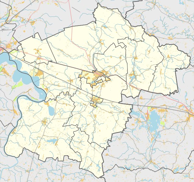

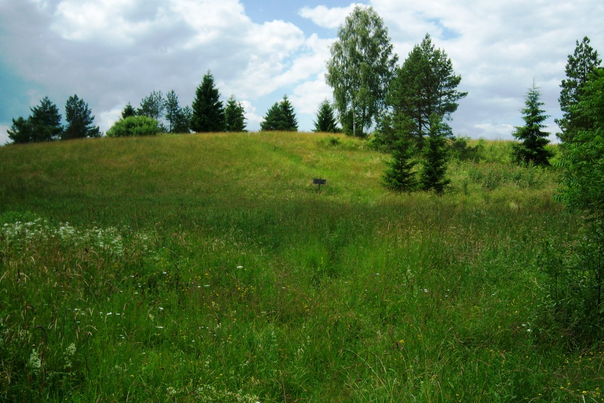
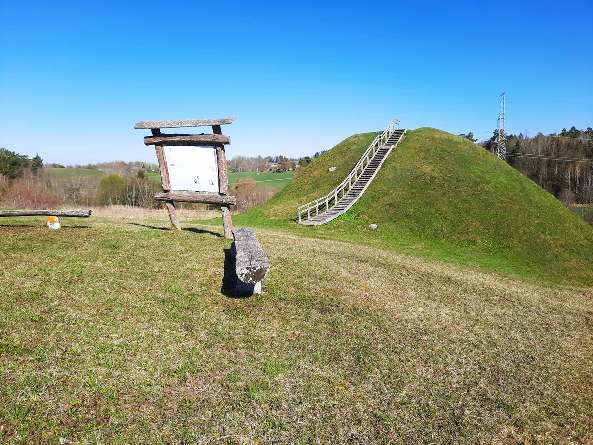
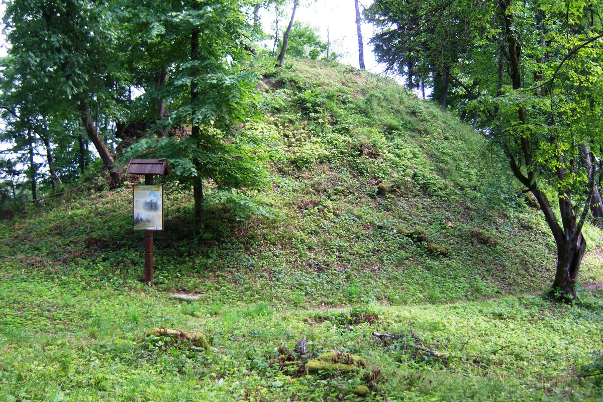
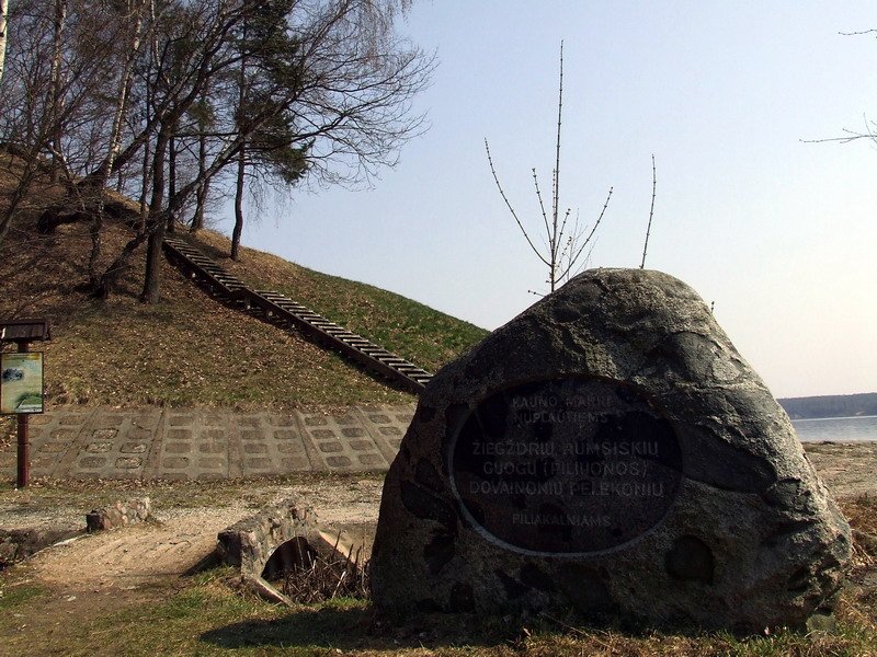
The Visginai hillfort sits on a high terrace of the Nemunas river, about two metres below the surrounding fields. It is a compact, almost rectangular space measuring 27 by 16 metres. The site is defined by a 30-metre-wide ditch and a 1.5-metre-high rampart measuring 13.5 metres wide on the northeastern edge.
Datable to the first millennium, the site features a 35-40 metre-high slope and excavations measuring 17 metres wide and up to 140 metres across. To the north, there is a slope settlement of 0.3 hectares.
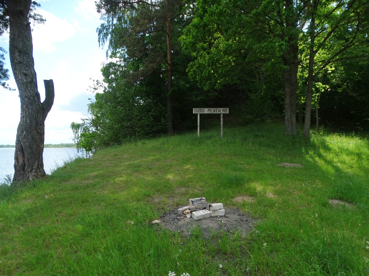
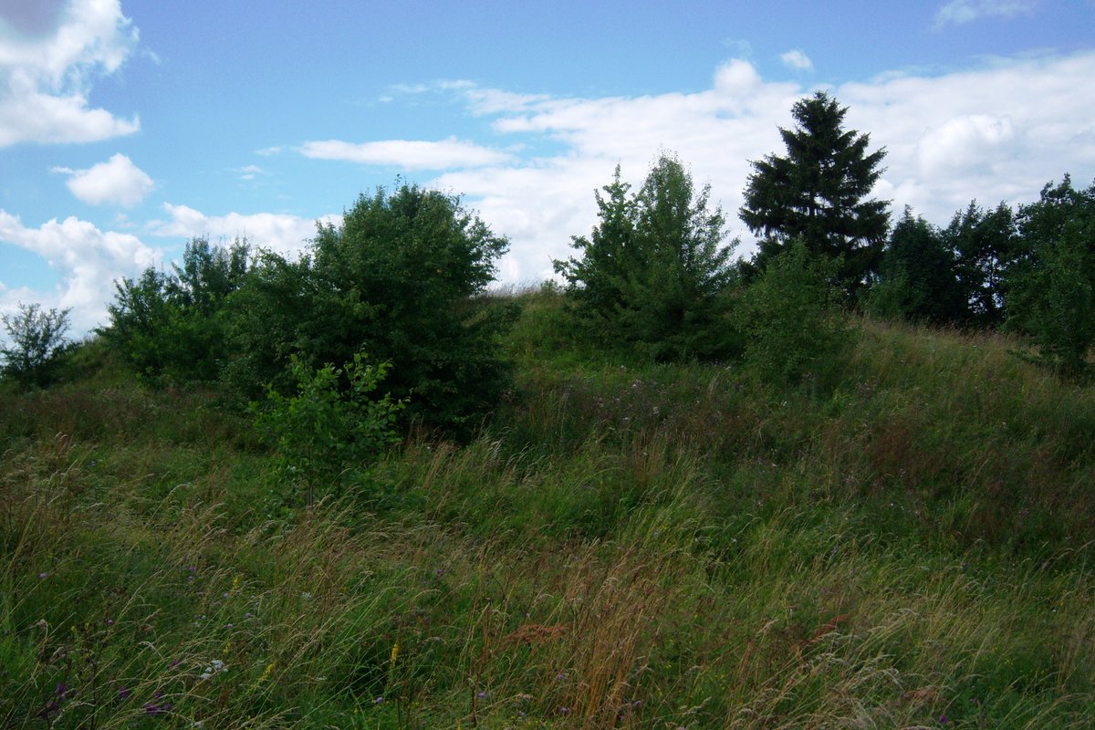
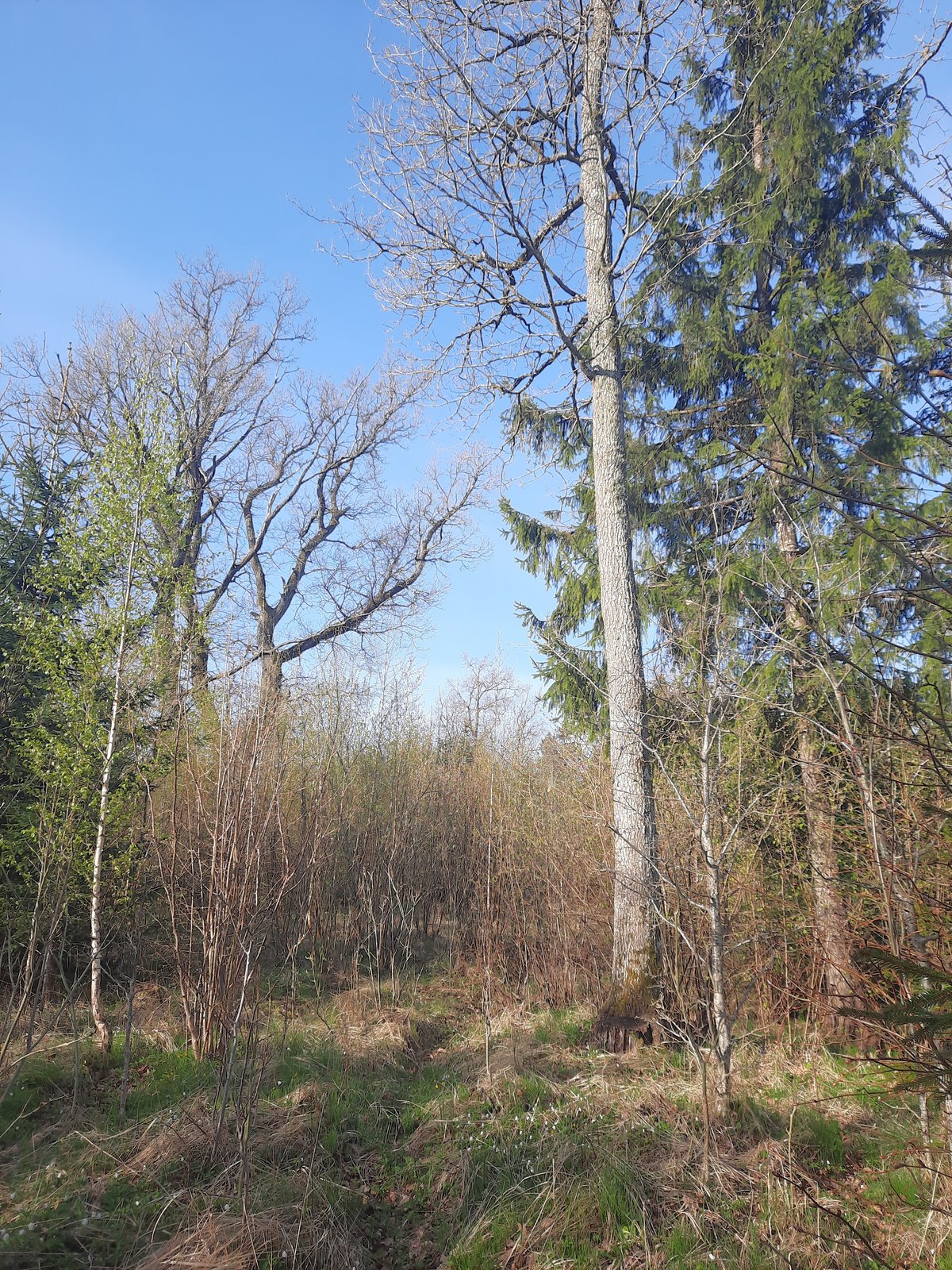
Today, the site is a protected cultural monument. You can find it by turning off the road between Kruonis and Anglininkai and walking through the fields toward the forest. It is covered in thickets and young birch trees now.
Sources: Wikipedia, OpenStreetMap, Wikidata, Wikimedia Commons
Written by Nicolo Ciampini
Discuss this with the author and others
No comments yet. Be the first to start the conversation.