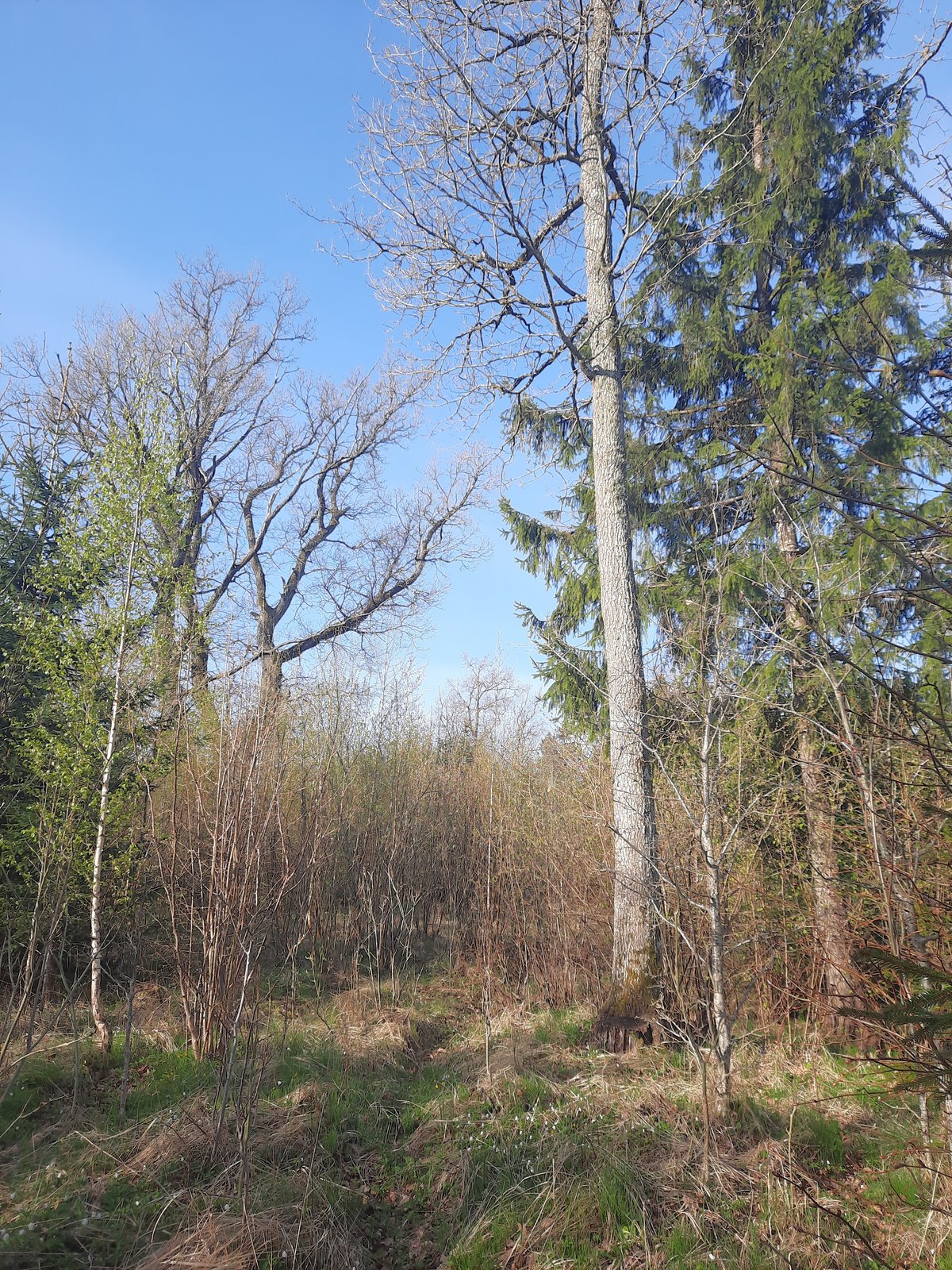

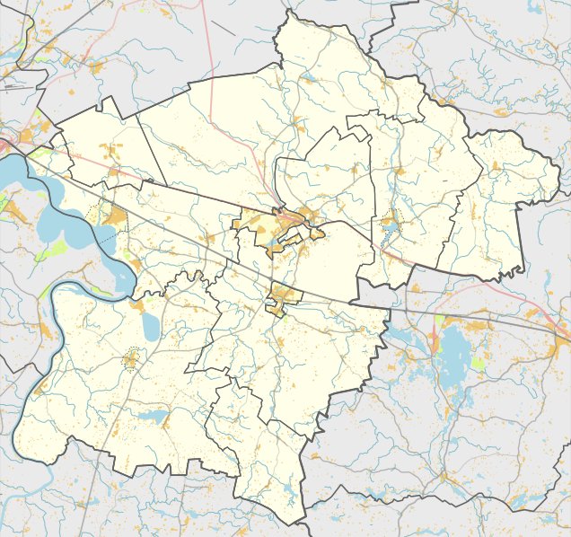
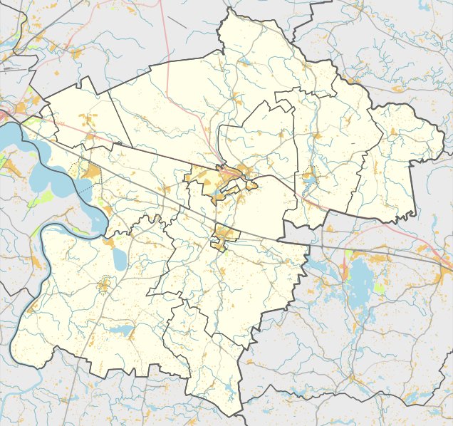
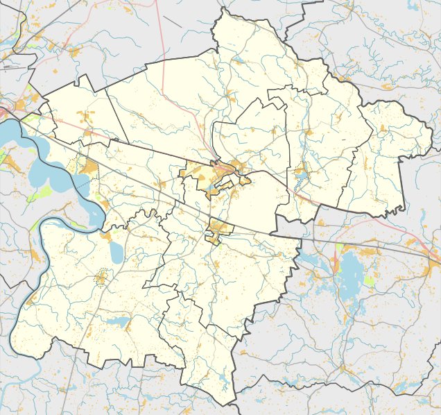
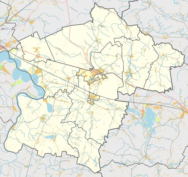
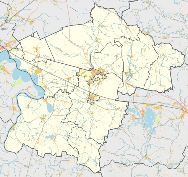
The Burčiakų piliakalnis is a hillfort located in the Kaišiadorių district municipality, to the east of Kruonis in the Kruonis eldership. It is accessible via a forest track from the Kaišiadorys - Kruonis road, passing the Kruonis HAE pond. It sits on the right side of the forest, about 100 m northwest of the path, near the higher slope of the dunes in the Burčiakų forest.
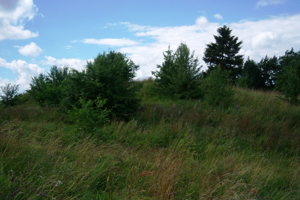
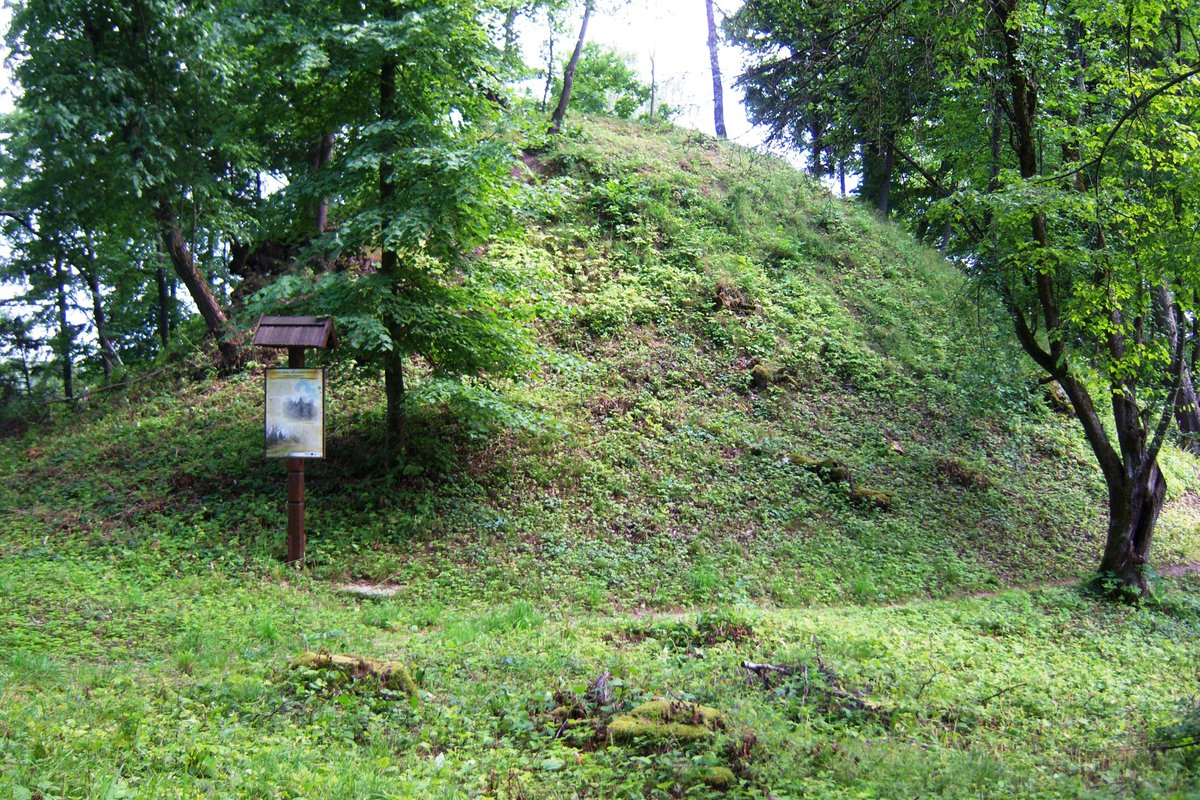
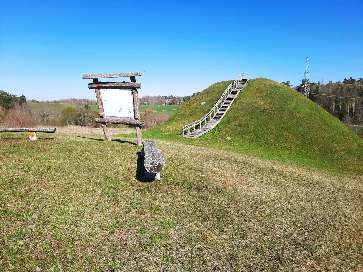
The hillfort is built on a separate hill measuring approximately 300x100 m, featuring small pits and ditches in its central part. The courtyard is oriented in a northeast - southwest direction, forming a rectangle measuring 60x27 m. It includes a central opening with naturally raised ends reaching about 11.5 m. The slopes descend from a height of 6-10 m, and the hillfort is surrounded by mixed forest.
The site is dated to the start of the 1st millennium. In 1971, the hillfort was surveyed by the Institute of History.
Sources: Wikipedia, OpenStreetMap, Wikidata, Wikimedia Commons
Written by Nicolo Ciampini
Discuss this with the author and others
No comments yet. Be the first to start the conversation.