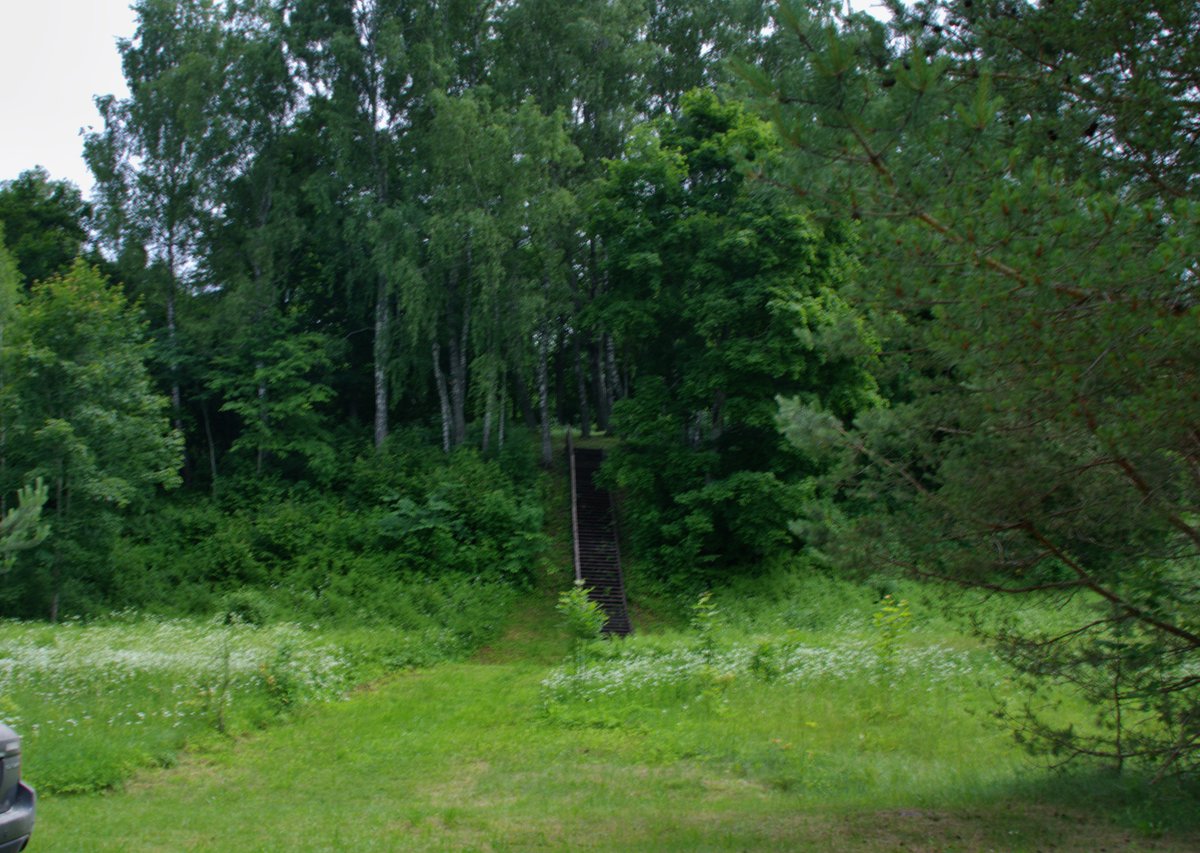

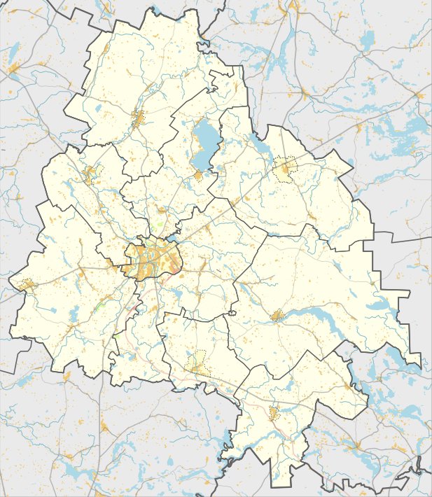
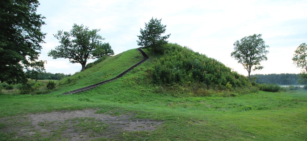
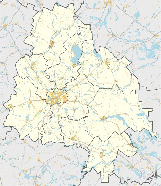
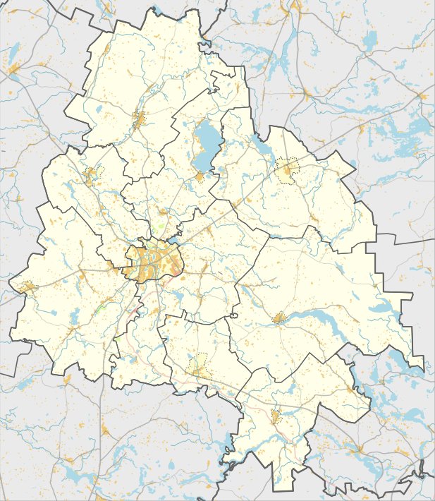
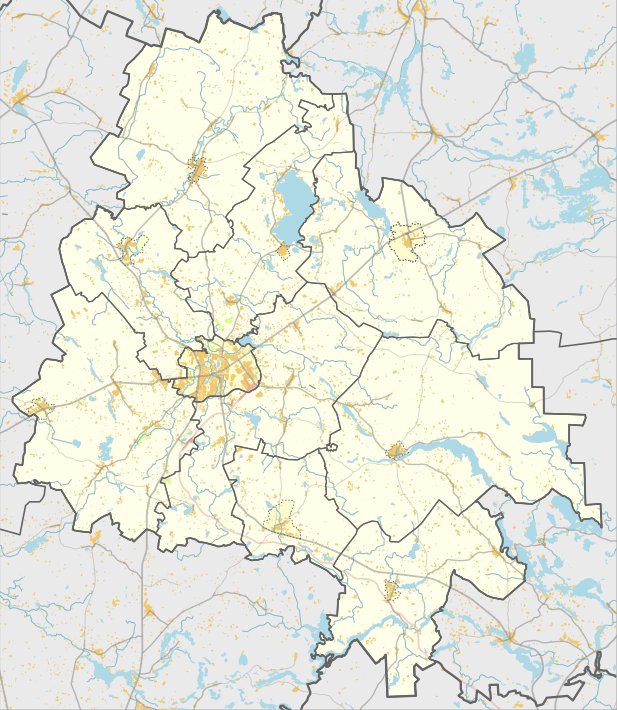
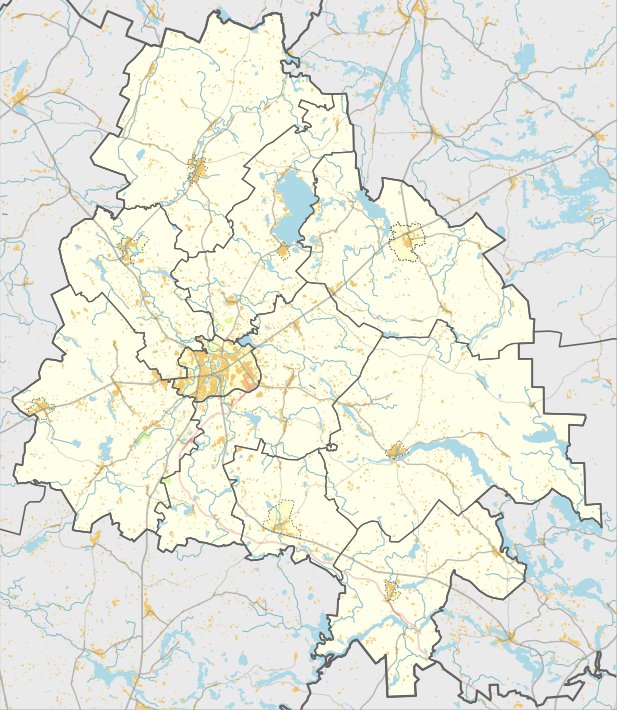
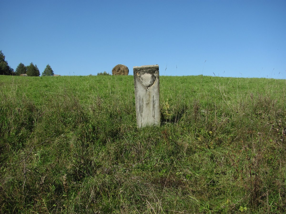
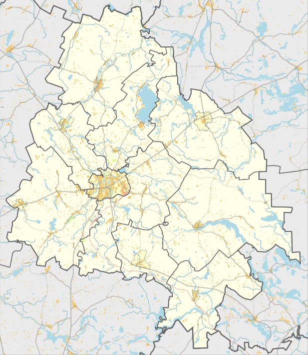
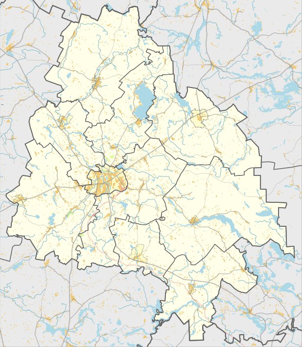
The Tauragnų piliakalnis is a hillfort and settlement site located in the Utenos district, south of Tauragnai. It sits on a long hill on the left bank of the Šventė river, 120 meters south of Lake Tauragnas. The site consists of a rectangular clearing measuring 16 by 10 meters, surrounded by steep slopes that rise 10 to 12 meters high.
The fortification features a complex system of embankments and ditches. On the southern edge, a 0.2-meter high bank drops into a 7-meter wide, 1-meter deep trench, followed by a second bank 0.2 meters high and 6 meters wide. The northern edge is protected by a 0.9-meter high bank that leads to a 25-meter long, 8-meter wide, and 1.5-meter deep trench. Beyond this are three more sequential embankments and trenches. The first trenches are joined by a terrace, while the slopes are covered in hawthorns and several pines.
This archaeological site dates back to the first millennium and the beginning of the second millennium. A settlement is located on a 0.5-hectare plot at the southwest foot of the hill, where ceramic shards were discovered. The entire site covers an area of 3 hectares and remains a public cultural monument today.
Sources: Wikipedia, OpenStreetMap, Wikidata, Wikimedia Commons
Written by Nicolo Ciampini
Discuss this with the author and others
No comments yet. Be the first to start the conversation.