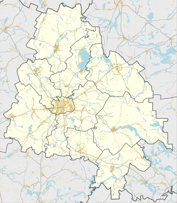

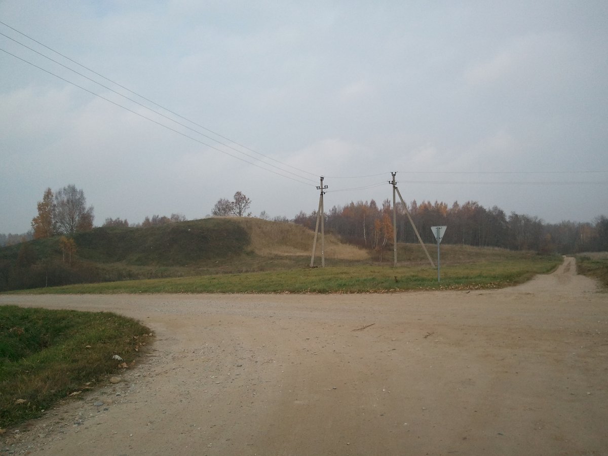
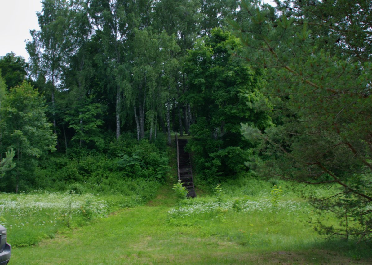
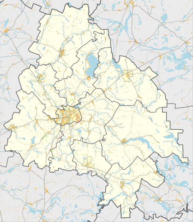
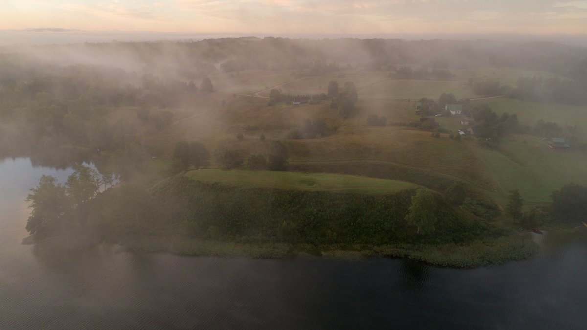
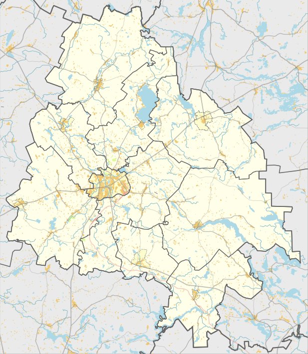
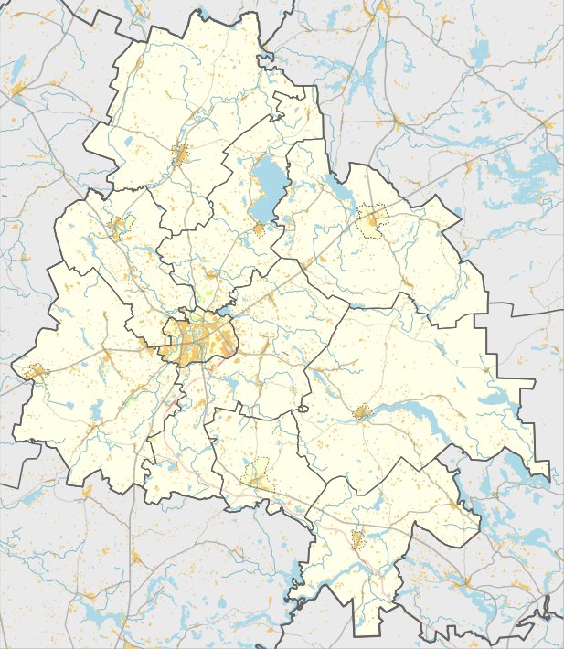
Klykių piliakalnis is a hillfort located in the Utenos district municipality, 5 km northwest of Tauragnai, 1 km north of Klykių Lake and the village, and 630 m northeast of the plentas 4902 Utena-Tauragnai-Kirdeikiai. The site is situated on the ridge of Klykių kalnas at an elevation of 235 m above sea level. Klykių kalnas is a moraine hill formed during the last ice age from boulders, gravel, and stones covered with moss.
The hillfort is separated from the northern and eastern sides by a stream valley and from other sides by ditches. The slopes are steep, measuring about 10 m in height. The upper part of the eastern and northern slopes stands 5-6 m high, while below is a 4 m wide terrace. The area of the hillfort has an irregular plan, measuring 42 m long and 46 m wide, with the middle part raised up to 1 m.
In the southern and western slopes, 2-2.5 m below the edge of the area, there are ditches 2 m wide and 0.8 m deep, followed by a mound about 1.2 m high and 9 m wide. The hillfort is dated to the 1st millennium. An ancient settlement with a cultural layer up to 90 cm thick is located on the southern slope. The hillfort remains unexamined.
Sources: Wikipedia, OpenStreetMap, Wikidata, Wikimedia Commons
Written by Nicolo Ciampini
Discuss this with the author and others
No comments yet. Be the first to start the conversation.