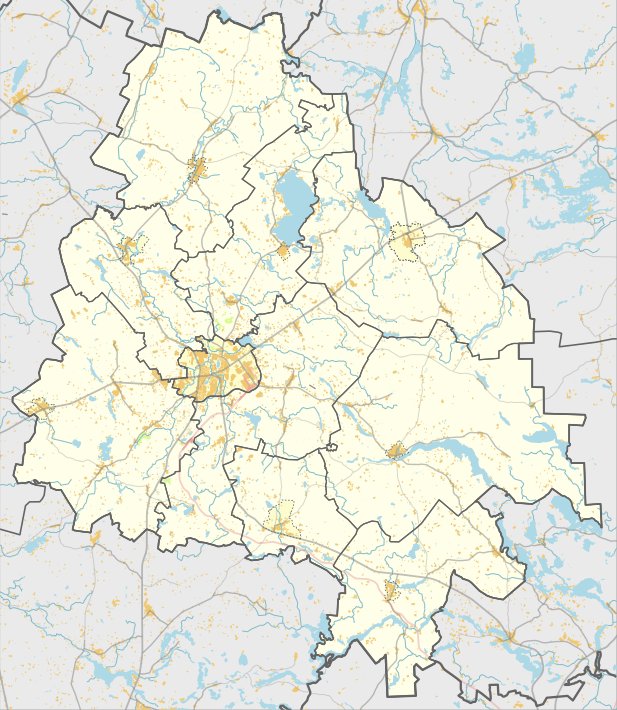

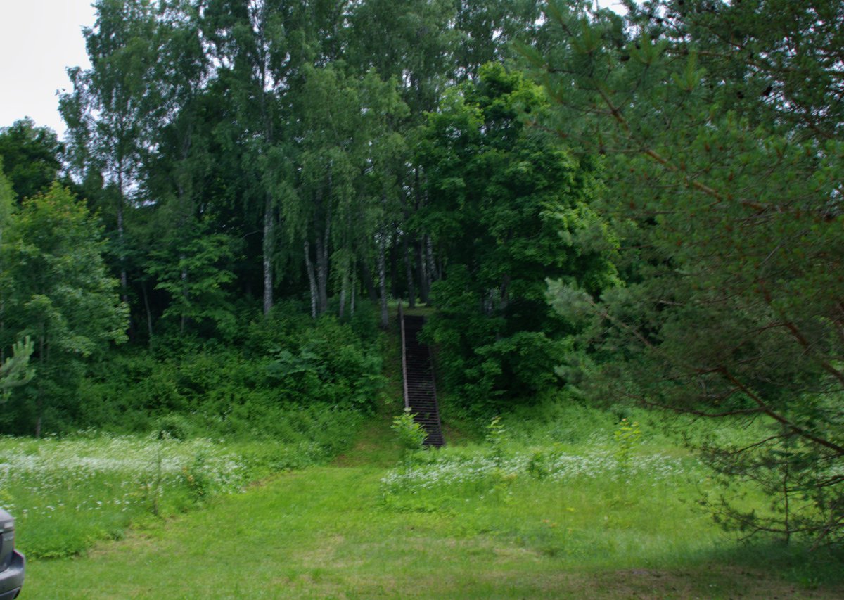
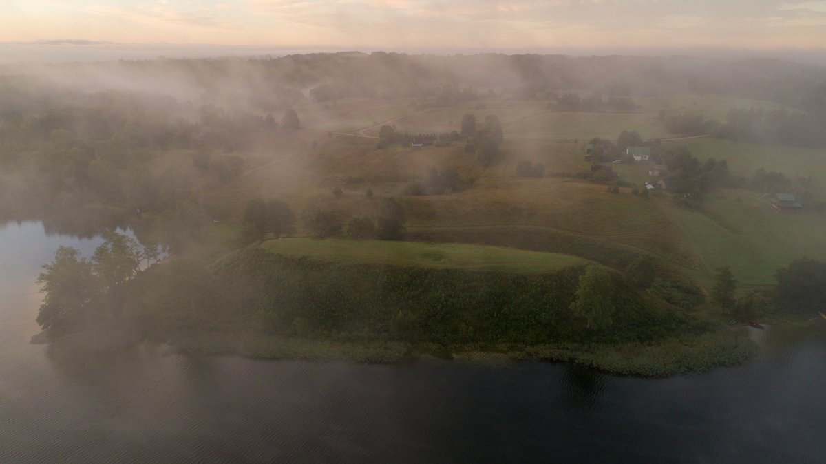
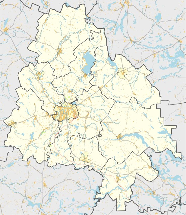
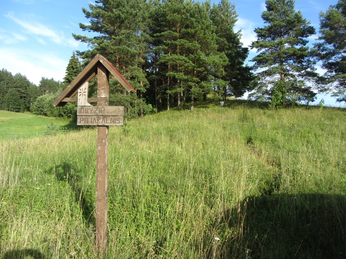
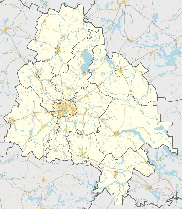
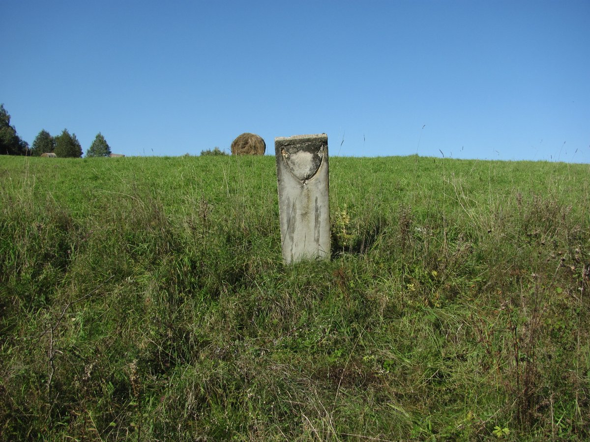
Situated between fields in the territory of the Tauragnai neighborhood, south-west of the village of Kamšos, lies an oval hillfort also known as Barsukakalnis. The slopes are 4–5 meters high, with the upper parts leveled. The oval surface area measures 35x20 meters.
The cultural layer of the site has been damaged by ploughing, but remains visible on the northern and western foothills over an area of about 0.5 hectares. The site dates back to the first millennium and the beginning of the second millennium.
During exploratory archaeological research in 1980 and 1985, archaeologists found molded pottery with a brushed surface and burnt stones. The site is a fortification with remains of an ancient settlement.
Sources: Wikipedia, OpenStreetMap, Wikidata, Wikimedia Commons
Written by Nicolo Ciampini
Discuss this with the author and others
No comments yet. Be the first to start the conversation.