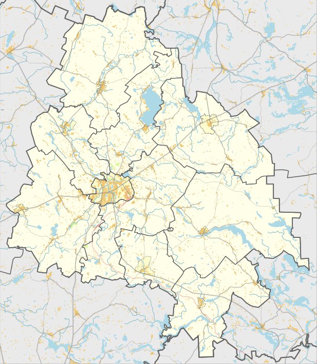

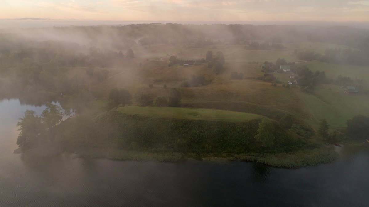
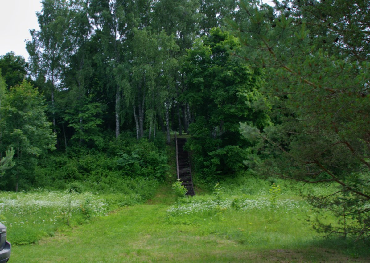
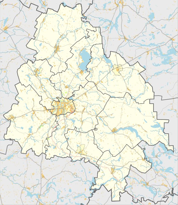
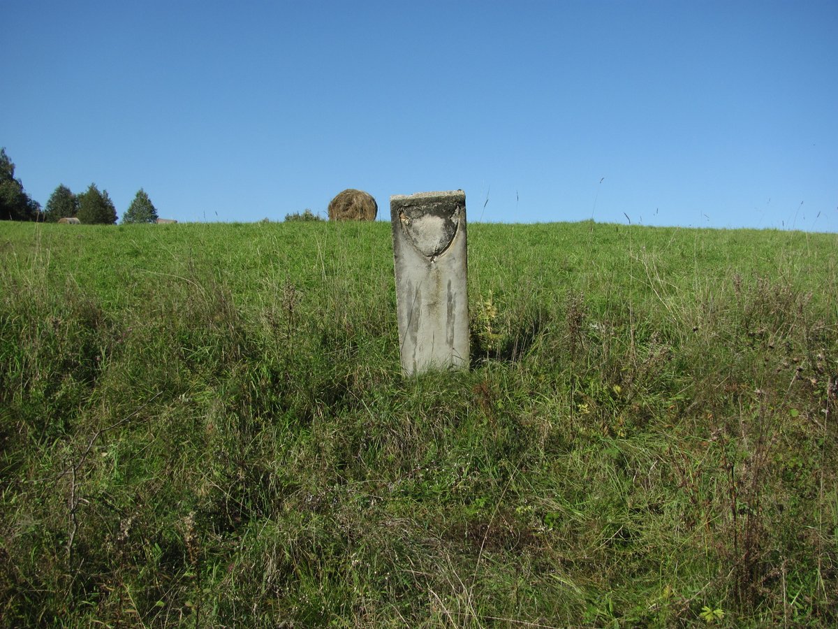
The Šeimaties piliakalnis, also known as Batarėja, is a hillfort and archaeological site located in the Utenos district, east of the Šeimaties Tauragnų eldership. The site features an oval clearing measuring 26x10 meters, oriented northwest to southeast. The fortification is constructed with a series of pylimas, or earthworks, including a 0.6-meter high and 8-meter wide embankment followed by a 20-meter long, 10-meter wide, and 1.5-meter deep griovys.
Beyond this, the site contains a second embankment 0.5 meters high and 6 meters wide, which sits behind a 4-meter wide, 0.3-meter deep griovys, followed by a third embankment 6 meters wide and 0.4 meters high. At the northwest end of the clearing, there is a 0.3-meter high, 5-meter wide embankment, with a 4-meter wide, 0.8-meter deep griovys excavated 2 meters below the slope. Further along, a 15-meter long, 1-meter high embankment stands 5 meters wide from the ditch.
Two terraces are part of the landscape: one 6-meter wide terrace sits 2 meters above the northwest edge of the clearing, and another 2.5-meter wide terrace is 2.5 meters below the clearing on the western slope. The slopes of the site reach a height of 10 meters. In a 1-hectare area southeast of the hillfort, remains of a settlement were found, yielding striated and smooth ceramics as well as iron gargažiai. The site was surveyed in 1970 by the Institute of History and was recognized as a state-protected monument in 2005.
Sources: Wikipedia, OpenStreetMap, Wikidata, Wikimedia Commons
Written by Nicolo Ciampini
Discuss this with the author and others
No comments yet. Be the first to start the conversation.