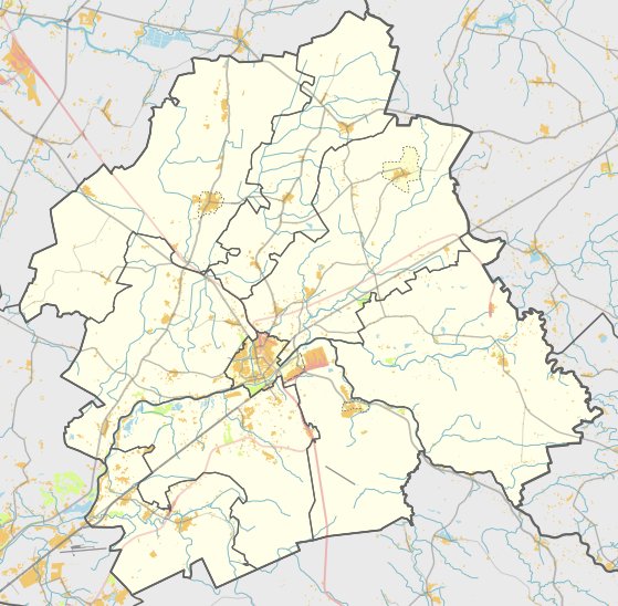

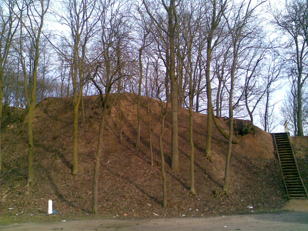
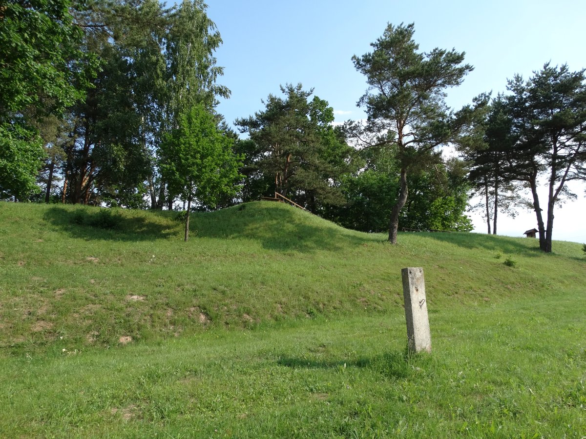
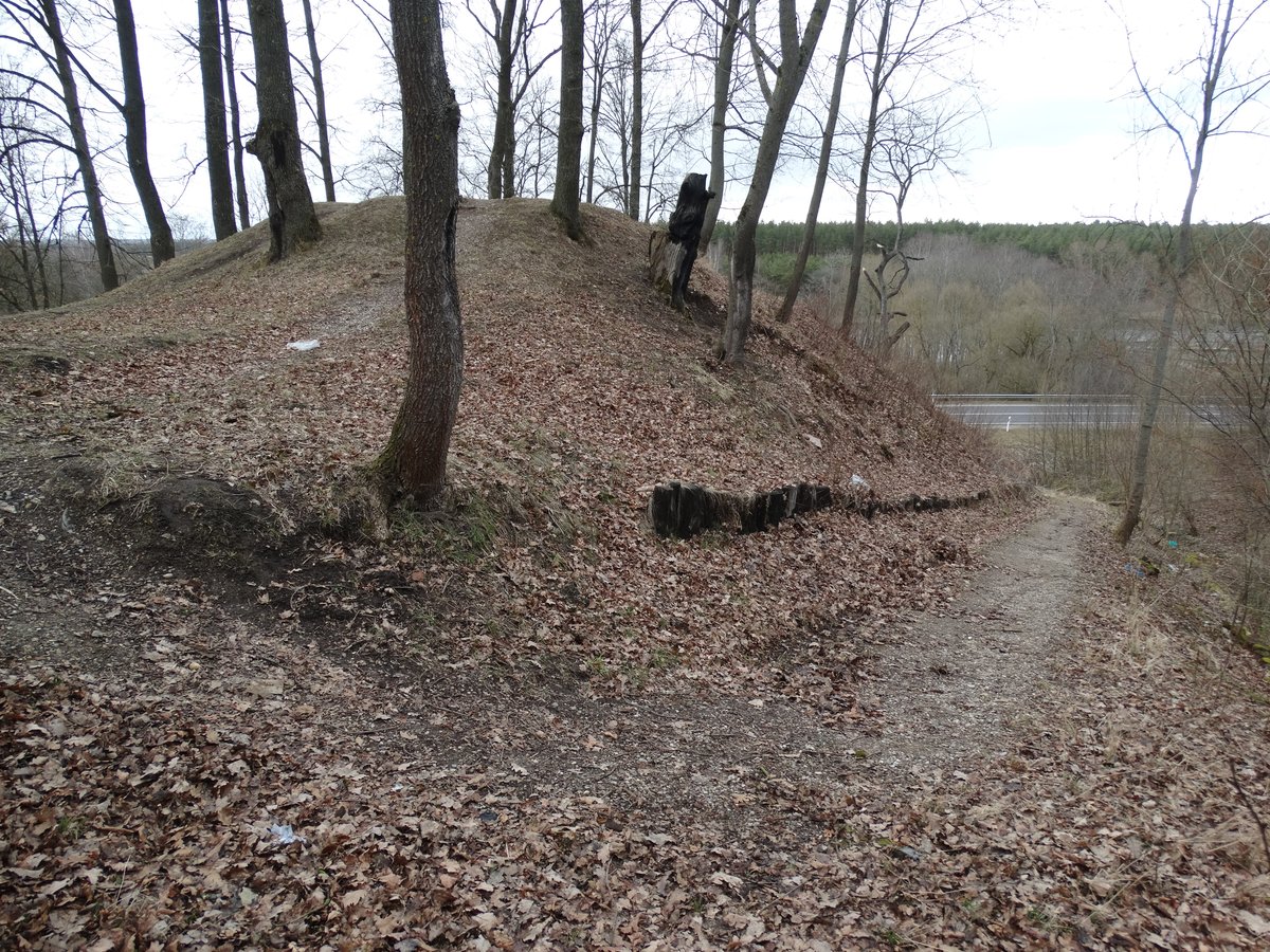
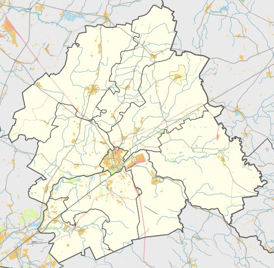
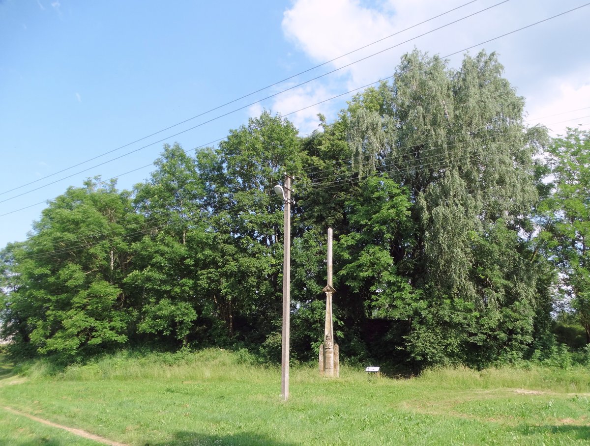
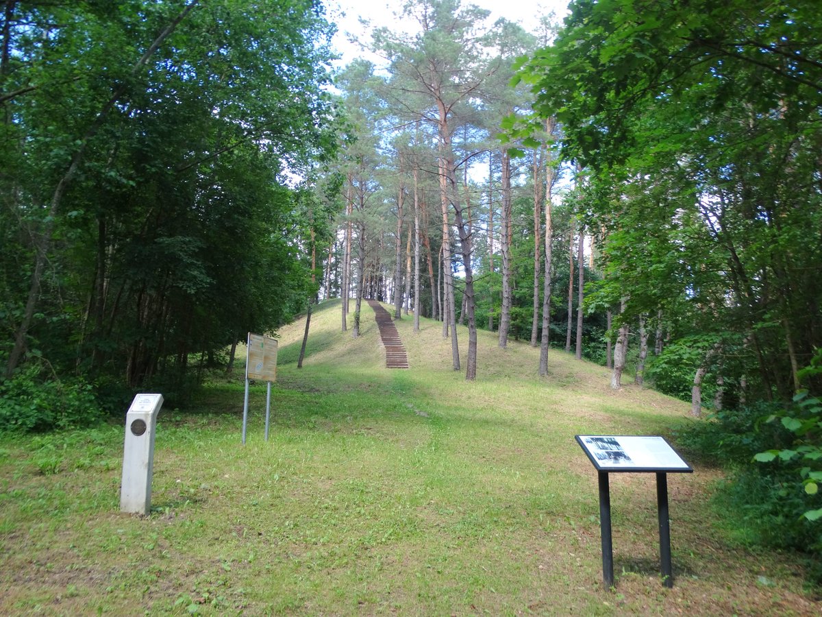
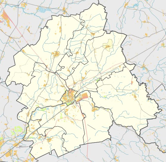
Located in the Jonavos district municipality near the village of Gudžioniai, the Gudžionių piliakalnis sits to the west of the confluence of the Lokio and Neries rivers on their right banks. The hillfort is shaped by the surrounding landscape, with the Neries river to the south and the valleys and dunes of the Lokio to the north and east.
The terrain around the site features slopes on the Neries side reaching up to 30 m high, while other slopes are lower. The western side of the hillfort is separated by a ravine and a filled embankment. The oval area of the hillfort measures 70 x 56 m and contains marks of cultural layers. Remains of an ancient settlement are located on the western slope.
Archaeological reconnaissance of the site was conducted in 1971 by the Institute of History of Lithuania, followed by further research in 1975 by archaeologists from the Council for the Protection of Cultural Monuments. The remains from these excavations are preserved by the Lithuanian National Museum.
Sources: Wikipedia, OpenStreetMap, Wikidata, Wikimedia Commons
Written by Nicolo Ciampini
Discuss this with the author and others
No comments yet. Be the first to start the conversation.