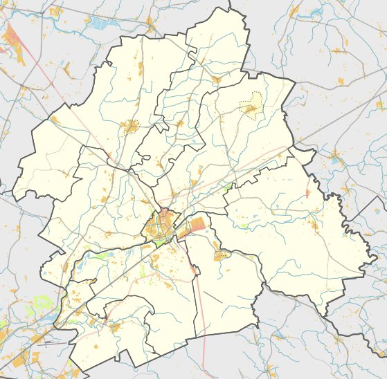

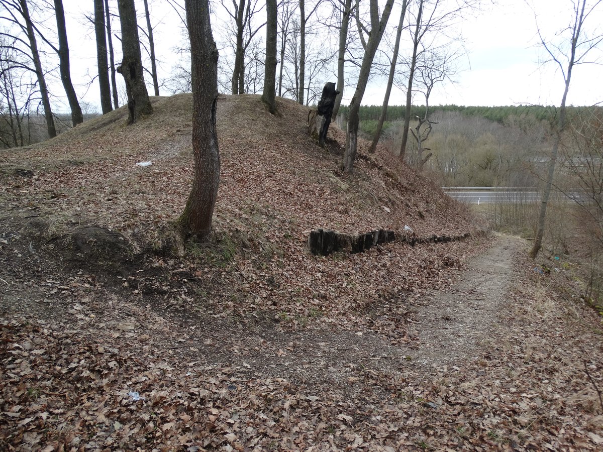
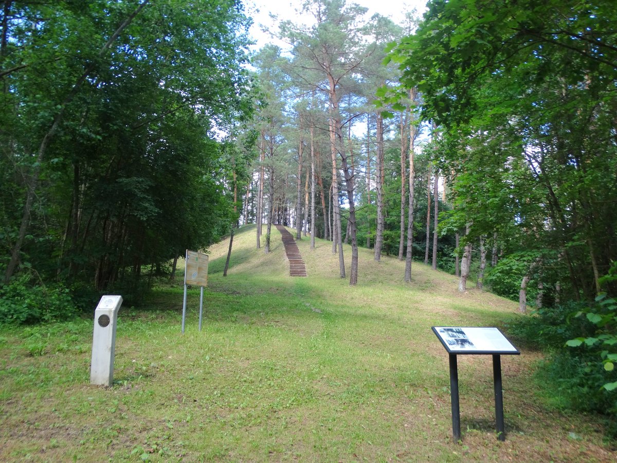
Laukagalių piliakalnis, also known as Milžinų kalnas, is an oval-shaped fortification situated on a high terrace of the right bank of the Neris river. The site measures approximately 7 by 6 metres. It dates back to the first millennium and the beginning of the second millennium. The fortification was declared a cultural monument on May 19, 1998, and covers an area of 8000 square metres.
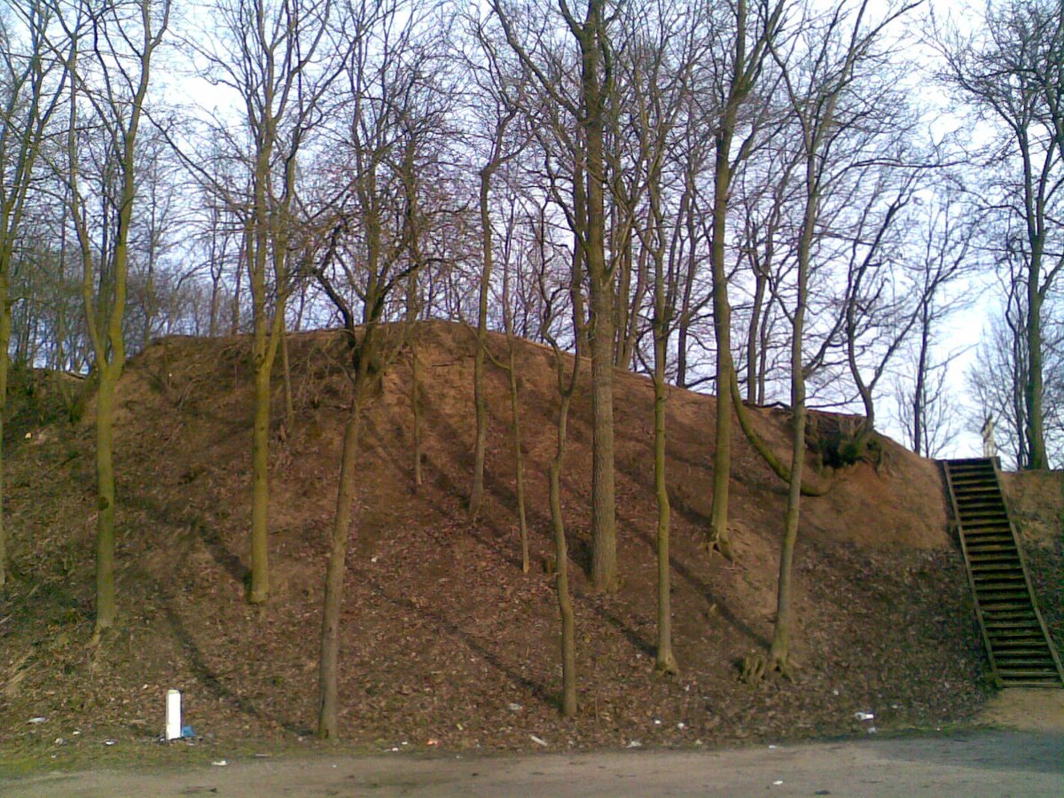
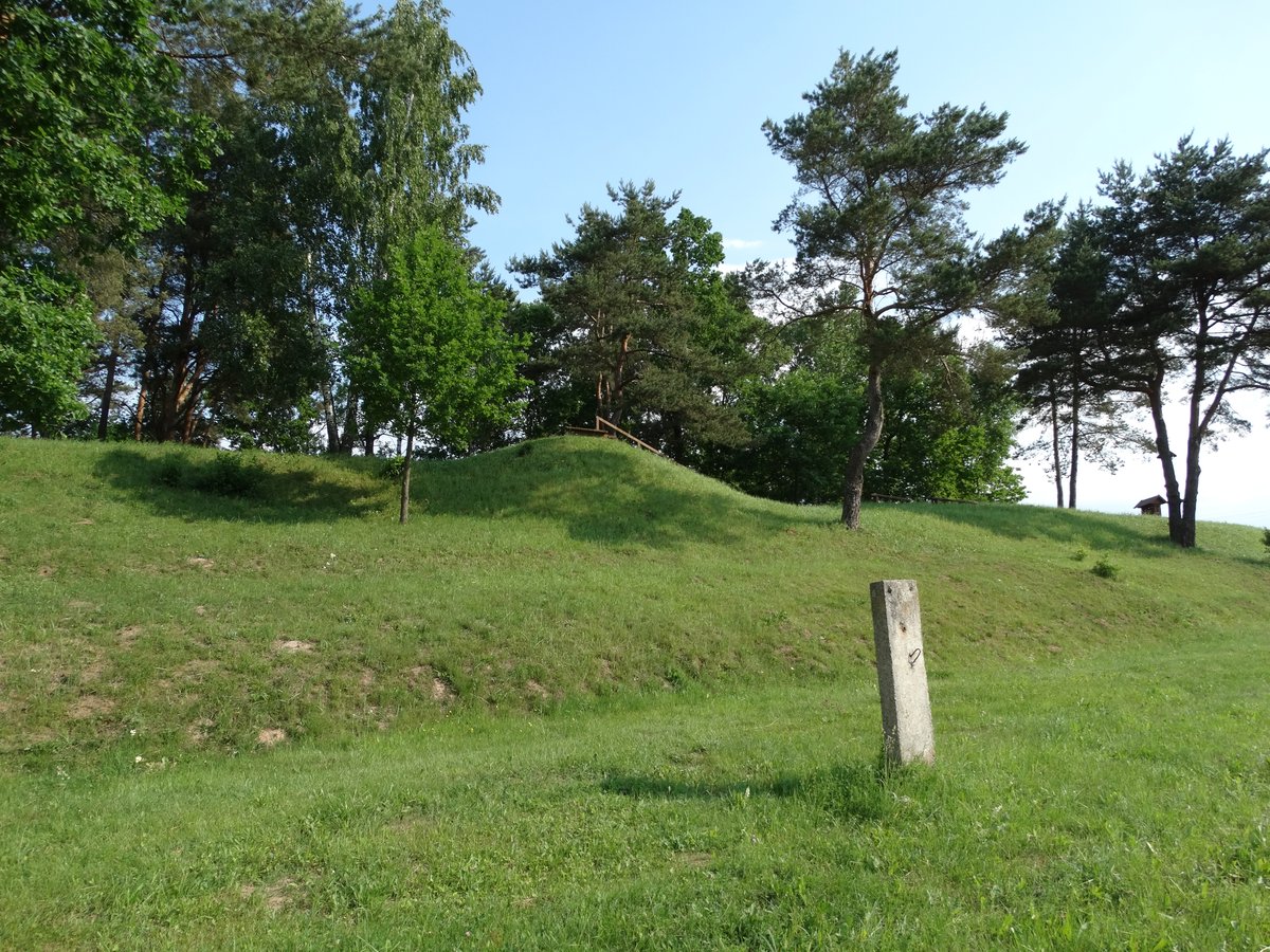
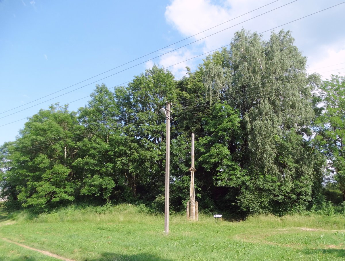
The site features a rampart on its northern edge that is 1.5 metres high and 10.5 metres wide, with an outer slope rising 16 metres. The fortification shows significant erosion from moats and ditches, and the eastern side was washed away by a small stream. Currently, the site is overgrown with bushes, while the western slope is becoming a meadow.
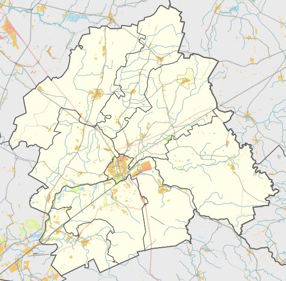
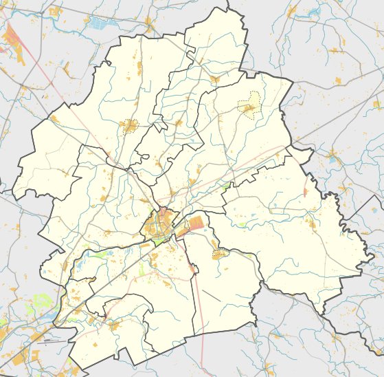
In 1971, the Institute of History conducted a reconnaissance of the site. It is located in the Šilų eldership of the Jonava district municipality. To reach the site, one travels along the paved road in Laukagaliai behind the railway, passes a high-voltage power line 150 metres long, and turns left into a meadow for 120 metres heading northeast.
Sources: Wikipedia, OpenStreetMap, Wikidata, Wikimedia Commons
Written by Nicolo Ciampini
Discuss this with the author and others
No comments yet. Be the first to start the conversation.