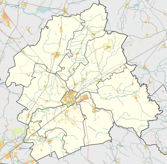

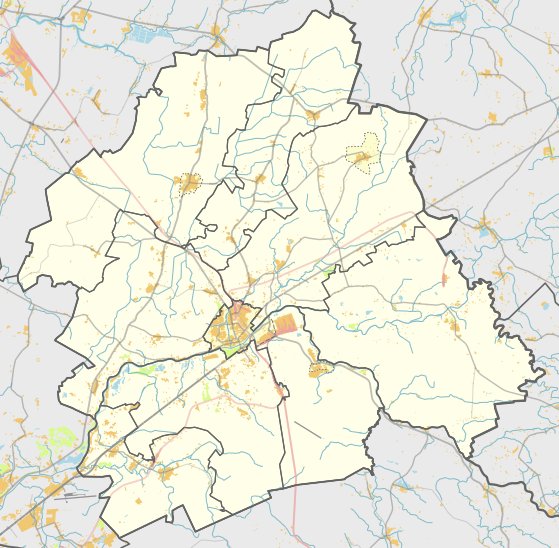
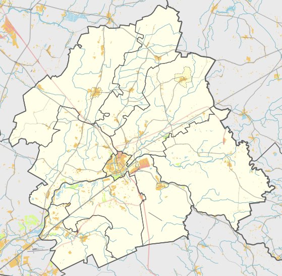
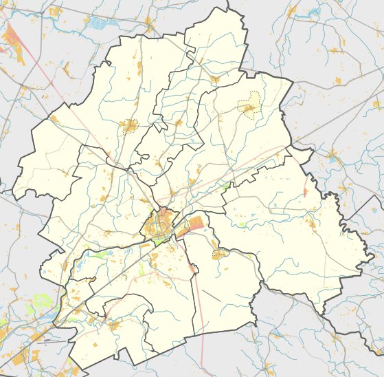
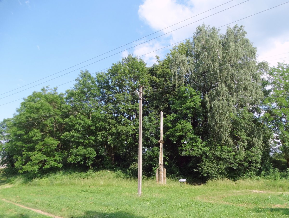
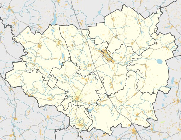
Located in the territory of Jonava district, the hillfort Padaigų piliakalnis, also known as Smailiakalnis, is situated in the northern part of the Padaigų Upninkų eldership. It can be reached from the Saleninkai - Arnotiškės road by turning into a field path for 450 m, situated 100 m southeast of a farmhouse.
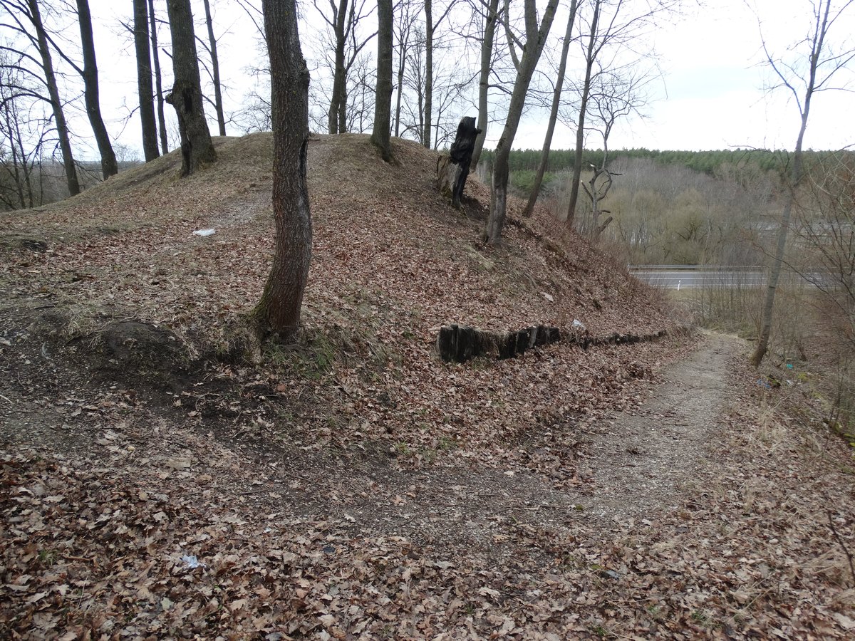
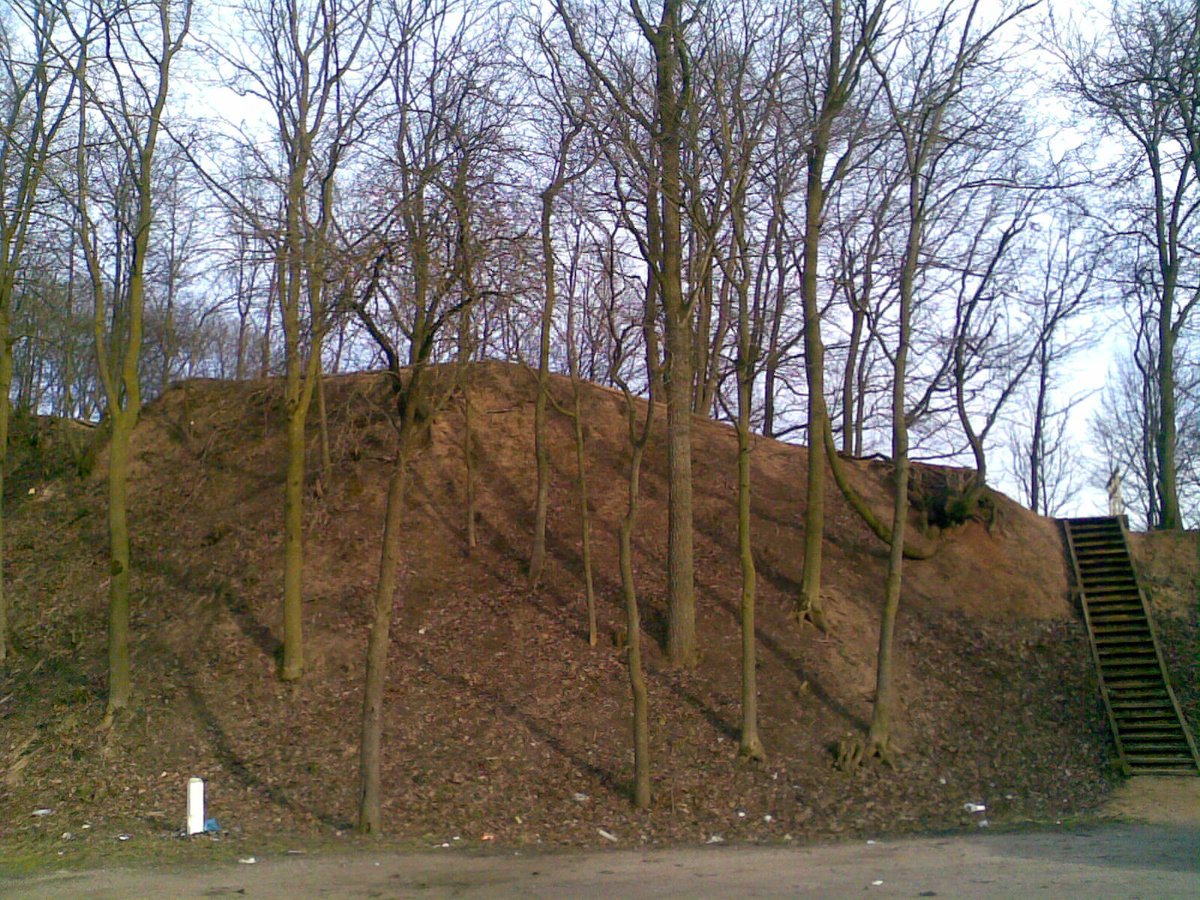
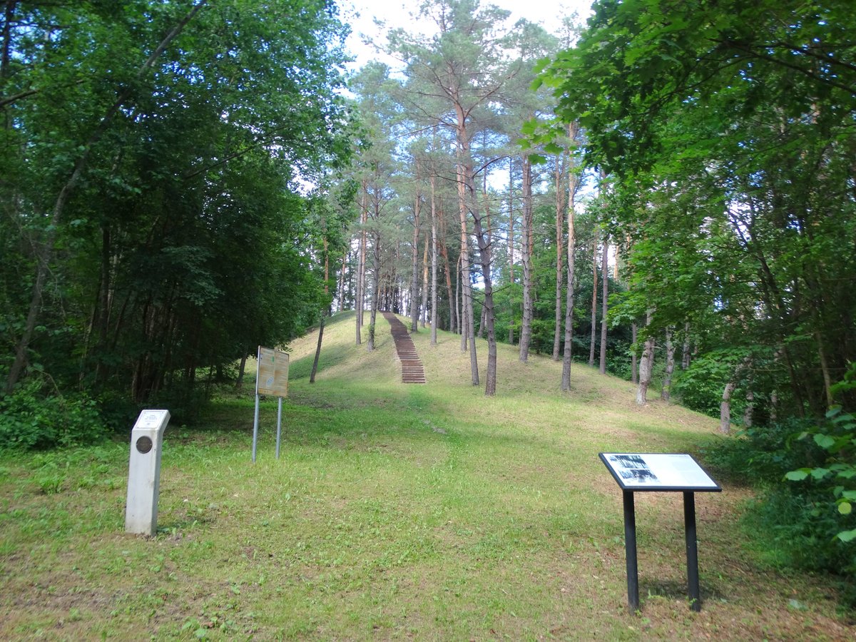
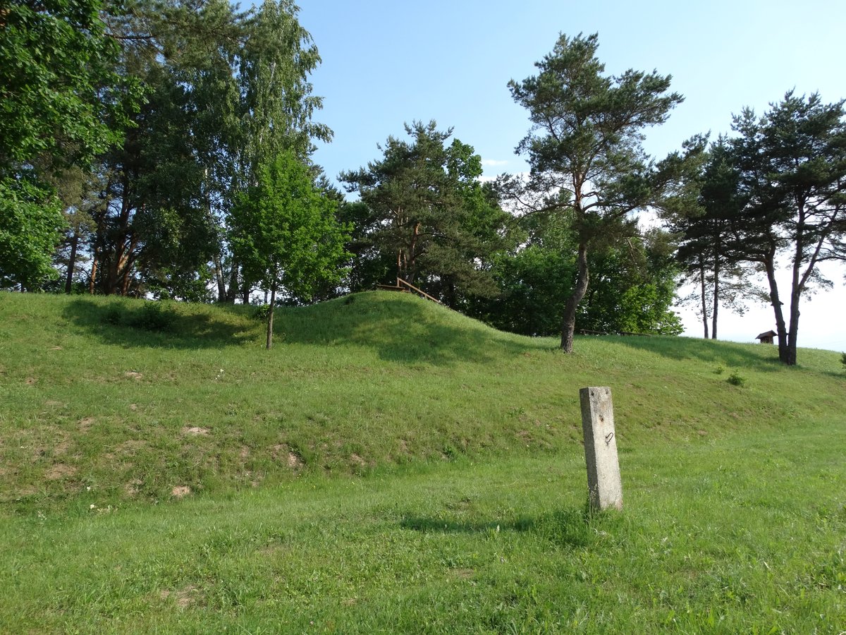
The hillfort is situated on a hill at the edge of a valley. The courtyard is oval and elongated in the east-west direction, measuring 9x8 m. On the eastern side, there is a 2 m high, 15 m wide embankment with an outer 4.5 m high slope leading down into a 16 m long, 15 m wide, and 1 m deep ditch. The slopes stand 13-15 m high. The embankment is surrounded by ditches, and the hillfort is surrounded by mixed forest.
On the northern foot of the hillfort, there is a settlement on a 0.2 ha plot, and a farm is located 100 m away. The hillfort dates back to the first millennium. A resolution of the Lithuanian Republic Government (Lietuvos Respublikos Vyriausybės) declared it a cultural monument on 19-05-1998 (Nr.612). The monument covers an area of 5000 m2. In 1971, the Institute of History (Istorijos institutas) surveyed the hillfort, but no cultural layer was observed.
Sources: Wikipedia, OpenStreetMap, Wikidata, Wikimedia Commons
Written by Nicolo Ciampini
Discuss this with the author and others
No comments yet. Be the first to start the conversation.