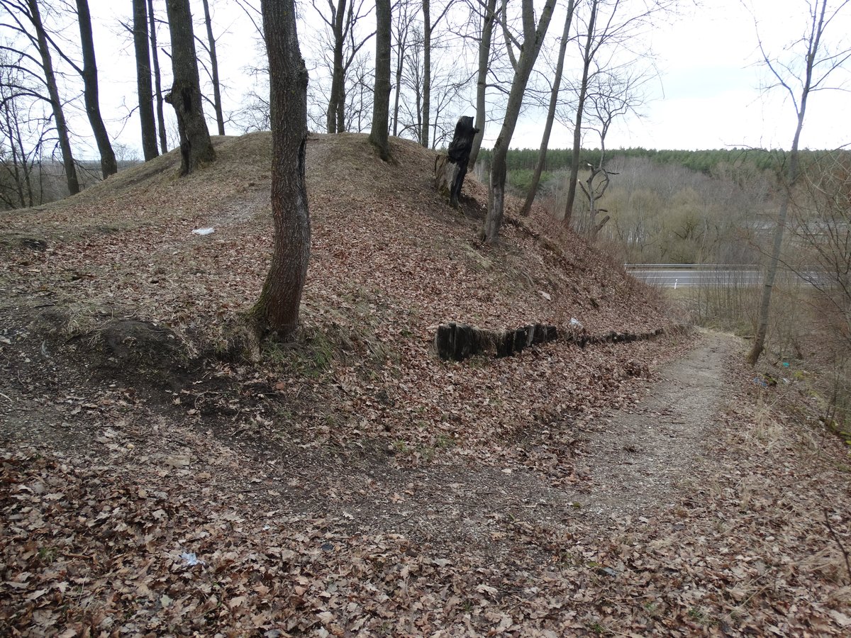
Ruklos Piliakalnis, also known as Koplyčkalnis, is a fascinating archaeological site located in the Jonava region’s self-government territory. This hillfort, formed from the upper layers of the Neris river bank, boasts a triangular shape, with a base 8 meters wide and 6 meters long. A prominent feature is a hole of 2 meters high, 13 meters wide, and 5 meters wide at the top, leading to a pit 10 meters deep and 1 meter deep at the bottom. Archaeological excavations have revealed evidence of an early settlement within Ruklos Piliakalnis, making it the second hillfort in Rukla. In 1997, Gintautas Zabiela uncovered chambers within the mound, and further findings were published in 1998.
Sources: Wikipedia, OpenStreetMap, Wikidata, Wikimedia Commons
Written by Nicolo Ciampini
Discuss this with the author and others
No comments yet. Be the first to start the conversation.